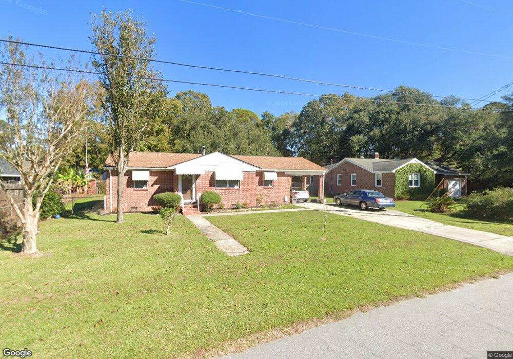
318 Curtiss Ave Charleston, SC 29407
Dupont Station NeighborhoodEstimated Value: $405,000 - $456,000
2
Beds
2
Baths
1,250
Sq Ft
$342/Sq Ft
Est. Value
About This Home
This home is located at 318 Curtiss Ave, Charleston, SC 29407 and is currently estimated at $427,090, approximately $341 per square foot. 318 Curtiss Ave is a home located in Charleston County with nearby schools including Stono Park Elementary School, West Ashley High School, and Carolina Voyager Charter.
Ownership History
Date
Name
Owned For
Owner Type
Purchase Details
Closed on
Jan 20, 2011
Sold by
Williams Thera J
Bought by
Duross Seth T and Duross Lindsay B
Current Estimated Value
Home Financials for this Owner
Home Financials are based on the most recent Mortgage that was taken out on this home.
Original Mortgage
$118,405
Interest Rate
4.76%
Mortgage Type
FHA
Purchase Details
Closed on
Feb 25, 2010
Sold by
Estate Of Samuel Durwerd Williams and Williams Brian Durwerd
Bought by
Williams Thera J
Create a Home Valuation Report for This Property
The Home Valuation Report is an in-depth analysis detailing your home's value as well as a comparison with similar homes in the area
Home Values in the Area
Average Home Value in this Area
Purchase History
| Date | Buyer | Sale Price | Title Company |
|---|---|---|---|
| Duross Seth T | $120,000 | -- | |
| Williams Thera J | -- | -- |
Source: Public Records
Mortgage History
| Date | Status | Borrower | Loan Amount |
|---|---|---|---|
| Previous Owner | Duross Seth T | $118,405 |
Source: Public Records
Tax History Compared to Growth
Tax History
| Year | Tax Paid | Tax Assessment Tax Assessment Total Assessment is a certain percentage of the fair market value that is determined by local assessors to be the total taxable value of land and additions on the property. | Land | Improvement |
|---|---|---|---|---|
| 2024 | $1,146 | $5,970 | $0 | $0 |
| 2023 | $1,146 | $5,970 | $0 | $0 |
| 2022 | $1,067 | $5,970 | $0 | $0 |
| 2021 | $1,100 | $5,970 | $0 | $0 |
| 2020 | $1,111 | $5,970 | $0 | $0 |
| 2019 | $971 | $5,190 | $0 | $0 |
| 2017 | $925 | $5,190 | $0 | $0 |
| 2016 | $892 | $5,190 | $0 | $0 |
| 2015 | $885 | $5,190 | $0 | $0 |
| 2014 | $801 | $0 | $0 | $0 |
| 2011 | -- | $0 | $0 | $0 |
Source: Public Records
Map
Nearby Homes
- 323 Millcreek Dr
- 2007 Boeing Ave
- 244 Marsh Oaks Dr
- 439 Geddes Ave
- 447 Geddes Ave
- 396 Culver Ave
- 301 Culver Ave
- 507 Stinson Dr Unit 10d
- 507 Stinson Dr Unit 8d
- 507 Stinson Dr Unit D8
- 507 Stinson Dr Unit 7f
- 511 Mansfield St
- 198 River Breeze Dr Unit 75
- 374 Culver Ave
- 486 Cessna Ave
- 205 River Breeze Dr Unit A205
- 498 Cessna Ave
- 233 Lands End Dr Unit T233
- 1866 Capri Dr
- 3006 S Shore Dr
- 324 Stinson Dr
- 318 Stinson Dr
- 326 Stinson Dr
- 310 Curtiss Ave
- 317 Curtiss Ave
- 313 Curtiss Ave
- 330 Stinson Dr
- 321 Curtiss Ave
- 325 Cessna Ave
- 321 Cessna Ave
- 317 Stinson Dr
- 329 Cessna Ave
- 306 Curtiss Ave
- 317 Cessna Ave
- 321 Stinson Dr
- 303 Curtiss Ave
- 308 Stinson Dr
- 334 Stinson Dr
- 1938 Swift Ave
- 1938 Swift Ave Unit 1