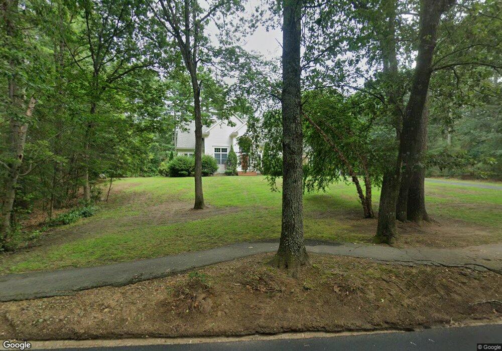
318 Dutton Rd Sudbury, MA 01776
Estimated Value: $1,377,000 - $1,998,000
4
Beds
4
Baths
3,365
Sq Ft
$467/Sq Ft
Est. Value
About This Home
This home is located at 318 Dutton Rd, Sudbury, MA 01776 and is currently estimated at $1,571,516, approximately $467 per square foot. 318 Dutton Rd is a home located in Middlesex County with nearby schools including Peter Noyes Elementary School, Ephraim Curtis Middle School, and Lincoln-Sudbury Regional High School.
Ownership History
Date
Name
Owned For
Owner Type
Purchase Details
Closed on
Jun 21, 2011
Sold by
Ciampa Anthony M and Ciampa Charlene M
Bought by
Ziffer Randall E and Ziffer Lynne E
Current Estimated Value
Home Financials for this Owner
Home Financials are based on the most recent Mortgage that was taken out on this home.
Original Mortgage
$655,000
Outstanding Balance
$546,048
Interest Rate
10%
Mortgage Type
Purchase Money Mortgage
Estimated Equity
$1,025,468
Purchase Details
Closed on
Aug 6, 2004
Sold by
Dundon Michael
Bought by
Ciampa Anthony M and Ciampa Charlene M
Home Financials for this Owner
Home Financials are based on the most recent Mortgage that was taken out on this home.
Original Mortgage
$333,700
Interest Rate
6.2%
Mortgage Type
Purchase Money Mortgage
Purchase Details
Closed on
Sep 15, 2000
Sold by
Verzal William C and Verzal Janet M
Bought by
Dundon Michael
Home Financials for this Owner
Home Financials are based on the most recent Mortgage that was taken out on this home.
Original Mortgage
$530,000
Interest Rate
8.07%
Mortgage Type
Purchase Money Mortgage
Create a Home Valuation Report for This Property
The Home Valuation Report is an in-depth analysis detailing your home's value as well as a comparison with similar homes in the area
Home Values in the Area
Average Home Value in this Area
Purchase History
| Date | Buyer | Sale Price | Title Company |
|---|---|---|---|
| Ziffer Randall E | $819,000 | -- | |
| Ciampa Anthony M | $899,000 | -- | |
| Dundon Michael | $830,000 | -- |
Source: Public Records
Mortgage History
| Date | Status | Borrower | Loan Amount |
|---|---|---|---|
| Open | Ziffer Randall E | $655,000 | |
| Previous Owner | Ciampa Anthony M | $333,700 | |
| Previous Owner | Dundon Michael | $530,000 | |
| Previous Owner | Dundon Michael | $35,000 |
Source: Public Records
Tax History
| Year | Tax Paid | Tax Assessment Tax Assessment Total Assessment is a certain percentage of the fair market value that is determined by local assessors to be the total taxable value of land and additions on the property. | Land | Improvement |
|---|---|---|---|---|
| 2025 | $19,821 | $1,353,900 | $410,100 | $943,800 |
| 2024 | $19,082 | $1,306,100 | $398,100 | $908,000 |
| 2023 | $17,587 | $1,115,200 | $368,900 | $746,300 |
| 2022 | $16,583 | $918,700 | $338,600 | $580,100 |
| 2021 | $15,689 | $833,200 | $338,600 | $494,600 |
| 2020 | $15,373 | $833,200 | $338,600 | $494,600 |
| 2019 | $14,923 | $833,200 | $338,600 | $494,600 |
| 2018 | $14,305 | $797,800 | $356,200 | $441,600 |
| 2017 | $14,226 | $801,900 | $399,400 | $402,500 |
| 2016 | $13,772 | $773,700 | $384,200 | $389,500 |
| 2015 | $13,281 | $754,600 | $369,400 | $385,200 |
| 2014 | $13,254 | $735,100 | $358,600 | $376,500 |
Source: Public Records
Map
Nearby Homes
- 53 Pine St
- 30 Kendall Rd
- 30 Rolling Ln
- 123 Dutton Rd
- 557 Dutton Rd Unit 2
- 0 Robbins Rd
- 0 Boston Post Rd
- 725 Boston Post Rd Unit 12
- 11 Great Lake Dr
- 15 Harness Ln
- 22 Barracks Rd Unit 22
- 30 Harness Ln
- 62 Churchill St
- 11 Farmstead Ln Unit 11
- 11 October Rd
- 24 Woodland Rd
- 45 Webster Cir
- 62 Hawkins Ln
- 1011 Boston Post Rd
- 788 Main St
- 55 Amanda Rd
- 326 Dutton Rd
- 54 Amanda Rd
- 49 Amanda Rd
- 290 Dutton Rd
- 334 Dutton Rd
- 46 Amanda Rd
- 45 Amanda Rd
- 34 Amanda Rd
- 122 Old Garrison Rd
- 122 Old Garrison Rd Unit 122
- 289 Dutton Rd
- 347 Dutton Rd
- 26 Amanda Rd
- 26 Amanda Rd Unit 1
- 281 Dutton Rd
- 24 Lot 24 Amanda
- 4 Amanda Rd
- 114 Old Garrison Rd
- 16 Amanda Road (Lot 16)
Your Personal Tour Guide
Ask me questions while you tour the home.