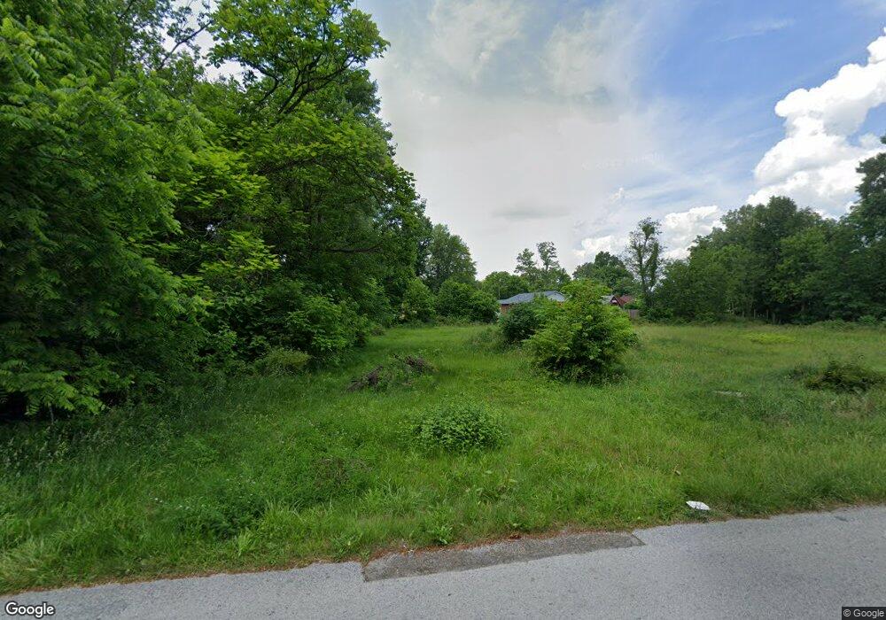
318 Frank Ave Barberton, OH 44203
East Barberton NeighborhoodEstimated Value: $77,000 - $288,000
2
Beds
1
Bath
816
Sq Ft
$191/Sq Ft
Est. Value
About This Home
This home is located at 318 Frank Ave, Barberton, OH 44203 and is currently estimated at $155,762, approximately $190 per square foot. 318 Frank Ave is a home located in Summit County with nearby schools including Barberton Middle School, Barberton High School, and St. Francis de Sales School.
Ownership History
Date
Name
Owned For
Owner Type
Purchase Details
Closed on
Jul 2, 2018
Sold by
The Summit County Land Reutilization Cot
Bought by
The Mother Am Smith Community Center Inc
Current Estimated Value
Purchase Details
Closed on
May 10, 2016
Sold by
City Of Barberton
Bought by
Summit County Land Reutilization Corp
Purchase Details
Closed on
Oct 1, 2014
Sold by
Murrey Hserri L and Scalise Kristen M
Bought by
The City Of Barberton
Purchase Details
Closed on
Oct 8, 1996
Sold by
Williams Michael E
Bought by
Murrey Sherri L
Home Financials for this Owner
Home Financials are based on the most recent Mortgage that was taken out on this home.
Original Mortgage
$27,350
Interest Rate
8%
Mortgage Type
New Conventional
Create a Home Valuation Report for This Property
The Home Valuation Report is an in-depth analysis detailing your home's value as well as a comparison with similar homes in the area
Home Values in the Area
Average Home Value in this Area
Purchase History
| Date | Buyer | Sale Price | Title Company |
|---|---|---|---|
| The Mother Am Smith Community Center Inc | -- | None Available | |
| Summit County Land Reutilization Corp | -- | None Available | |
| The City Of Barberton | -- | None Available | |
| Murrey Sherri L | $28,200 | -- |
Source: Public Records
Mortgage History
| Date | Status | Borrower | Loan Amount |
|---|---|---|---|
| Previous Owner | Murrey Sherri L | $27,350 |
Source: Public Records
Tax History Compared to Growth
Tax History
| Year | Tax Paid | Tax Assessment Tax Assessment Total Assessment is a certain percentage of the fair market value that is determined by local assessors to be the total taxable value of land and additions on the property. | Land | Improvement |
|---|---|---|---|---|
| 2025 | $370 | $7,207 | $7,207 | -- |
| 2024 | $370 | $7,207 | $7,207 | -- |
| 2023 | $370 | $7,207 | $7,207 | $0 |
| 2022 | $297 | $5,005 | $5,005 | $0 |
| 2021 | $296 | $5,005 | $5,005 | $0 |
| 2020 | $290 | $5,010 | $5,010 | $0 |
| 2019 | $288 | $4,510 | $4,510 | $0 |
| 2018 | $0 | $4,510 | $4,510 | $0 |
| 2017 | $0 | $4,510 | $4,510 | $0 |
| 2016 | $0 | $5,190 | $4,510 | $680 |
| 2015 | $970 | $5,190 | $4,510 | $680 |
| 2014 | $970 | $11,280 | $4,510 | $6,770 |
| 2013 | $690 | $11,610 | $4,510 | $7,100 |
Source: Public Records
Map
Nearby Homes
- 311 Holly Place
- 43 S Van Buren Ave
- 251 Slate Ridge Dr
- 25 S Van Buren Ave
- 327 Robinson Ave
- 588 Austin Dr
- 6 5th St NE
- 369 Big Bend Cir
- 375 Big Bend Cir
- 477 Robinson Ave
- 414 E Baird Ave
- 64 Diamond Ave
- 1110 Mansion Dr
- 357 E Paige Ave
- 986 S Azalea Blvd
- 650 E Tuscarawas Ave
- 349 E Hopocan Ave
- 1742 Turkeyfoot Lake Rd
- 344 E Huston St
- 673 Wooster Rd W