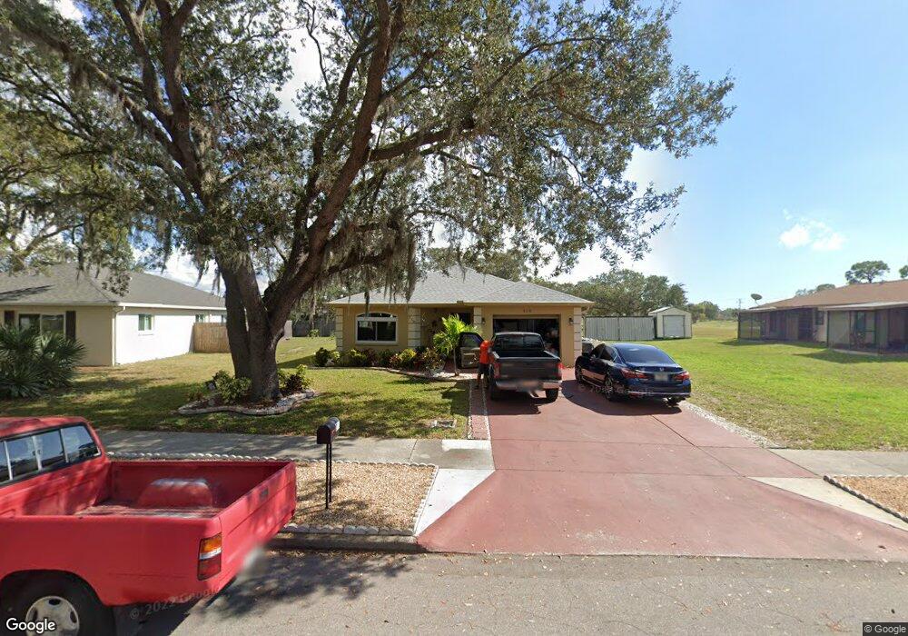
318 Mcarthur Ave Sarasota, FL 34243
Estimated Value: $419,345 - $462,000
5
Beds
3
Baths
1,826
Sq Ft
$239/Sq Ft
Est. Value
About This Home
This home is located at 318 Mcarthur Ave, Sarasota, FL 34243 and is currently estimated at $436,086, approximately $238 per square foot. 318 Mcarthur Ave is a home located in Manatee County with nearby schools including Florine J. Abel Elementary School, Electa Lee Magnet Middle School, and Southeast High School.
Ownership History
Date
Name
Owned For
Owner Type
Purchase Details
Closed on
Jun 15, 2000
Sold by
Kendar Homes Corp
Bought by
Bejarano Herland and Bejarano Clara
Current Estimated Value
Home Financials for this Owner
Home Financials are based on the most recent Mortgage that was taken out on this home.
Original Mortgage
$96,850
Outstanding Balance
$34,265
Interest Rate
8.27%
Mortgage Type
FHA
Estimated Equity
$401,821
Create a Home Valuation Report for This Property
The Home Valuation Report is an in-depth analysis detailing your home's value as well as a comparison with similar homes in the area
Home Values in the Area
Average Home Value in this Area
Purchase History
| Date | Buyer | Sale Price | Title Company |
|---|---|---|---|
| Bejarano Herland | $96,900 | -- |
Source: Public Records
Mortgage History
| Date | Status | Borrower | Loan Amount |
|---|---|---|---|
| Open | Bejarano Herland | $96,850 |
Source: Public Records
Tax History Compared to Growth
Tax History
| Year | Tax Paid | Tax Assessment Tax Assessment Total Assessment is a certain percentage of the fair market value that is determined by local assessors to be the total taxable value of land and additions on the property. | Land | Improvement |
|---|---|---|---|---|
| 2025 | $3,772 | $140,984 | -- | -- |
| 2024 | $3,772 | $137,011 | -- | -- |
| 2023 | $3,666 | $133,020 | $0 | $0 |
| 2022 | $3,596 | $129,146 | $0 | $0 |
| 2021 | $1,511 | $125,384 | $0 | $0 |
| 2020 | $1,547 | $123,653 | $0 | $0 |
| 2019 | $1,508 | $120,873 | $0 | $0 |
| 2018 | $1,481 | $118,619 | $0 | $0 |
| 2017 | $1,367 | $116,179 | $0 | $0 |
| 2016 | $1,352 | $113,789 | $0 | $0 |
| 2015 | $1,353 | $112,998 | $0 | $0 |
| 2014 | $1,353 | $112,101 | $0 | $0 |
| 2013 | $1,323 | $110,444 | $0 | $0 |
Source: Public Records
Map
Nearby Homes
- 361 Whitfield Ave
- 7348 Phillips St
- 213 Gaines Ave
- 7324 Phillips St
- 138 Pearl Ave
- 7225 Willow St
- 344 Lantana Ave
- 7608 Westmoreland Dr
- 147 Adair Ave
- 139 Adair Ave
- 7620 Westmoreland Dr
- 7213 Las Casas Dr Unit 18
- 7418 Westmoreland Dr
- 7746 Westmoreland Dr
- 7754 Westmoreland Dr
- 7222 Meadowbrook Dr
- 7331 Westmoreland Dr
- 349 Scott Ave
- 7150 N Tamiami Trail Unit C-133
- 7150 N Tamiami Trail Unit S-615
- 322 Mcarthur Ave
- 7419 Manatee St
- 7410 Ponce de Leon St
- 7402 Ponce de Leon St
- 7414 Ponce de Leon St
- 326 Mcarthur Ave
- 315 Mcarthur Ave
- 319 Mcarthur Ave Unit n/a
- 319 Mcarthur Ave
- 7409 Manatee St
- 327 Mcarthur Ave
- 7416 Manatee St
- 7403 Ponce de Leon St
- 7411 Ponce de Leon St
- 310 Whitfield Ave
- 331 Mcarthur Ave
- 7403 Manatee St
- 7343 Ponce de Leon St
- 7419 Ponce de Leon St
- 7335 Ponce de Leon St