318 N Mc Arthur Rd Mc Arthur, OH 45651
Estimated Value: $77,000 - $169,000
--
Bed
--
Bath
1,392
Sq Ft
$91/Sq Ft
Est. Value
About This Home
This home is located at 318 N Mc Arthur Rd, Mc Arthur, OH 45651 and is currently estimated at $126,667, approximately $90 per square foot. 318 N Mc Arthur Rd is a home with nearby schools including Vinton County High School.
Ownership History
Date
Name
Owned For
Owner Type
Purchase Details
Closed on
Mar 9, 2016
Sold by
Font Thomas D and Font Linda L
Bought by
Font Daniel A and Font Karla
Current Estimated Value
Purchase Details
Closed on
Jul 3, 2009
Sold by
Hayes Raymond and Hayes Catherine
Bought by
Fout Thomas D and Fout Linda L
Home Financials for this Owner
Home Financials are based on the most recent Mortgage that was taken out on this home.
Original Mortgage
$30,000
Interest Rate
5.32%
Mortgage Type
New Conventional
Create a Home Valuation Report for This Property
The Home Valuation Report is an in-depth analysis detailing your home's value as well as a comparison with similar homes in the area
Home Values in the Area
Average Home Value in this Area
Purchase History
| Date | Buyer | Sale Price | Title Company |
|---|---|---|---|
| Font Daniel A | -- | None Available | |
| Fout Thomas D | $35,000 | None Available | |
| Hayes Raymond | $35,000 | None Available |
Source: Public Records
Mortgage History
| Date | Status | Borrower | Loan Amount |
|---|---|---|---|
| Closed | Hayes Raymond | $30,000 |
Source: Public Records
Tax History Compared to Growth
Tax History
| Year | Tax Paid | Tax Assessment Tax Assessment Total Assessment is a certain percentage of the fair market value that is determined by local assessors to be the total taxable value of land and additions on the property. | Land | Improvement |
|---|---|---|---|---|
| 2024 | $13,251 | $37,090 | $17,360 | $19,730 |
| 2023 | $9,382 | $27,470 | $12,050 | $15,420 |
| 2022 | $1,386 | $27,470 | $12,050 | $15,420 |
| 2021 | $1,381 | $27,470 | $12,050 | $15,420 |
| 2020 | $715 | $26,490 | $10,510 | $15,980 |
| 2019 | $1,402 | $26,490 | $10,510 | $15,980 |
| 2018 | $1,373 | $26,490 | $10,510 | $15,980 |
| 2017 | $1,278 | $23,980 | $9,560 | $14,420 |
| 2016 | $1,274 | $23,980 | $9,560 | $14,420 |
| 2015 | $1,112 | $21,950 | $5,530 | $16,420 |
| 2014 | $1,112 | $21,950 | $5,530 | $16,420 |
Source: Public Records
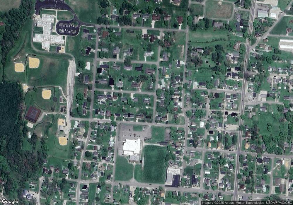
Map
Nearby Homes
- 106 E Maple Dr
- 206 N Sugar St
- 59651 Highway 50
- 311 W South St
- 626 Engle Dr
- 32103 State Route 93
- 643 W Main St
- 64598 Frazee Ln
- 0 Wolf Hill Rd Unit (Tract 6 Wolf Hill)
- 0 Wolf Hill Rd Unit (Tract 4 Wolf Hill)
- 0 Wolf Hill Rd Unit (Tract 3 Wolf Hill)
- 0 Wolf Hill Rd Unit (Tract 2 Wolf Hill)
- 0 Wolf Hill Rd Unit (Tract 1 Wolf Hill)
- 0 Wolf Hill Rd Unit 25041313
- 0 Wolf Hill Rd Unit 25026051
- 0 Wolf Hill Rd Unit (Tract 7 Wolf Hill)
- 31811 Overview Dr
- 62130 Locker Plant Rd
- 35244 Ohio 93
- 34601 Lake Rd