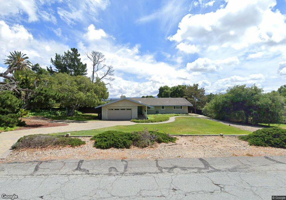
318 Saint Andrews Way Lompoc, CA 93436
Estimated Value: $809,000 - $1,053,000
About This Home
This home is located at 318 Saint Andrews Way, Lompoc, CA 93436 and is currently estimated at $894,046, approximately $427 per square foot. 318 Saint Andrews Way is a home located in Santa Barbara County with nearby schools including Buena Vista Elementary School, Cabrillo High School, and Olive Grove Charter - Lompoc.
Ownership History
We collect this data history from publicly available records. To have your information removed, we recommend requesting removal directly through your county’s website.
Purchase Details
Purchase Details
Home Values in the Area
Average Home Value in this Area
Purchase History
We collect this data history from publicly available records. To have your information removed, we recommend requesting removal directly through your county’s website.
| Date | Buyer | Sale Price | Title Company |
|---|---|---|---|
| -- | -- | ||
| -- | -- | ||
| $210,000 | Stewart Title Of Santa Barba |
Tax History
We collect this data history from publicly available records. To have your information removed, we recommend requesting removal directly through your county’s website.
| Year | Tax Paid | Tax Assessment Tax Assessment Total Assessment is a certain percentage of the fair market value that is determined by local assessors to be the total taxable value of land and additions on the property. | Land | Improvement |
|---|---|---|---|---|
| 2026 | $4,448 | $372,165 | $173,354 | $198,811 |
| 2025 | $4,225 | $364,868 | $169,955 | $194,913 |
| 2023 | $4,225 | $350,702 | $163,356 | $187,346 |
| 2022 | $4,158 | $343,826 | $160,153 | $183,673 |
| 2021 | $4,200 | $337,085 | $157,013 | $180,072 |
| 2020 | $4,158 | $333,630 | $155,404 | $178,226 |
| 2019 | $4,095 | $327,089 | $152,357 | $174,732 |
| 2018 | $4,037 | $320,676 | $149,370 | $171,306 |
| 2017 | $3,798 | $307,527 | $146,442 | $161,085 |
| 2016 | $3,462 | $301,498 | $143,571 | $157,927 |
| 2014 | $3,386 | $291,153 | $138,645 | $152,508 |
Map
- 384 Falcon Crest Dr
- 4050 Saint Andrews Ct
- 294 Burnham Ct
- 195 Oakmont Ave
- 4173 Oakwood Ct
- 485 Saint Andrews Way
- 135 Oakmont Ave
- 649 Burning Tree Way
- 3983 Agena Way
- 245 Burton Mesa Blvd
- 245 Burton Mesa Blvd Unit B
- 18 Stanford Cir
- 340 Oak Hill Dr
- 0 Oak Hill Dr Unit 24-783
- 259 Burton Mesa Blvd Unit A
- 6 Stanford Cir
- 277 Burton Mesa Blvd Unit B
- 240 Oak Hill Dr
- 18 Galaxy Way
- 4220 Constellation Rd
- 310 Saint Andrews Way
- 328 Saint Andrews Way
- 311 Falcon Crest Dr
- 319 Falcon Crest Dr
- 325 Falcon Crest Dr
- 336 Saint Andrews Way
- 317 Saint Andrews Way
- 4019 Saint Andrews Ct
- 327 Saint Andrews Way
- 3979 Burnham Dr
- 313 Falcon Crest Dr
- 339 Falcon Crest Dr
- 335 Saint Andrews Way
- 344 Saint Andrews Way
- 284 Saint Andrews Way
- 3991 Burnham Dr
- 299 Falcon Crest Dr
- 289 St Andrews Way
- 289 Saint Andrews Way
- 345 Saint Andrews Way
Ask me questions while you tour the home.