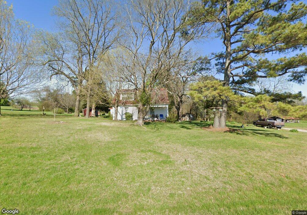
318 Stuart Smotherman Rd Russellville, KY 42276
Estimated Value: $141,460 - $225,000
3
Beds
1
Bath
1,860
Sq Ft
$107/Sq Ft
Est. Value
About This Home
This home is located at 318 Stuart Smotherman Rd, Russellville, KY 42276 and is currently estimated at $198,115, approximately $106 per square foot. 318 Stuart Smotherman Rd is a home located in Logan County with nearby schools including Logan County High School.
Ownership History
Date
Name
Owned For
Owner Type
Purchase Details
Closed on
Dec 15, 2009
Sold by
Stuart James E and Stuart Ila Kathryn
Bought by
Stuart James E and Stuart Linda Darlene
Current Estimated Value
Home Financials for this Owner
Home Financials are based on the most recent Mortgage that was taken out on this home.
Original Mortgage
$10,563
Interest Rate
4.75%
Mortgage Type
Purchase Money Mortgage
Create a Home Valuation Report for This Property
The Home Valuation Report is an in-depth analysis detailing your home's value as well as a comparison with similar homes in the area
Home Values in the Area
Average Home Value in this Area
Purchase History
| Date | Buyer | Sale Price | Title Company |
|---|---|---|---|
| Stuart James E | $10,000 | None Available |
Source: Public Records
Mortgage History
| Date | Status | Borrower | Loan Amount |
|---|---|---|---|
| Closed | Stuart James E | $10,563 |
Source: Public Records
Tax History Compared to Growth
Tax History
| Year | Tax Paid | Tax Assessment Tax Assessment Total Assessment is a certain percentage of the fair market value that is determined by local assessors to be the total taxable value of land and additions on the property. | Land | Improvement |
|---|---|---|---|---|
| 2025 | $310 | $35,150 | $6,400 | $28,750 |
| 2024 | $312 | $35,150 | $6,400 | $28,750 |
| 2023 | $286 | $31,400 | $6,400 | $25,000 |
| 2022 | $283 | $31,400 | $6,400 | $25,000 |
| 2021 | $284 | $31,400 | $6,400 | $25,000 |
| 2020 | $0 | $31,400 | $6,400 | $25,000 |
| 2019 | $0 | $31,400 | $6,400 | $25,000 |
| 2018 | $0 | $31,400 | $6,400 | $25,000 |
| 2017 | $0 | $31,400 | $6,400 | $25,000 |
| 2016 | $0 | $31,400 | $0 | $0 |
| 2015 | -- | $31,400 | $6,400 | $25,000 |
| 2012 | -- | $31,400 | $0 | $0 |
Source: Public Records
Map
Nearby Homes
- 0 Cole Rd Unit RA20250685
- 2148 Lewisburg Rd
- 3.90 acres Lewisburg Rd Unit Map 068-00-00-026-
- 2398 Lewisburg Rd
- 0 Terry Wilcutt Hwy
- 101 Longview Dr
- 105 Woodhurst Ln
- 1171 Newtown Rd
- 104 S Oak St
- 302 Hunters Cir
- 112 Hunters Cir
- 305 Hunters Cir
- 512 Hunters Cir
- 0 Karis Dr Unit Lot 58 Stonewall Sub
- 105 Madeline Ct
- 121 Madeline Ct
- 113 Madeline Ct
- 117 Madeline Ct
- 137 Fairfield Dr
- 116 Madeline Ct
- 242 Stuart Smotherman Rd
- 428 Stuart Smotherman Rd
- 147 Cates Bypass Rd
- 1970 Lewisburg Rd
- 1778 Lewisburg Rd
- 1752 Lewisburg Rd
- 2070 Lewisburg Rd
- 1719 Lewisburg Rd
- 2199 Lewisburg Rd
- 2090 Lewisburg Rd
- 1722 Lewisburg Rd
- 1713 Lewisburg Rd
- 2179 Lewisburg Rd
- 1711 Lewisburg Rd
- 1714 Lewisburg Rd
- 1708 Lewisburg Rd
- 59 Hidden Valley Rd
- 1707 Lewisburg Rd
- 1706 Lewisburg Rd
- 144 Cates Bypass