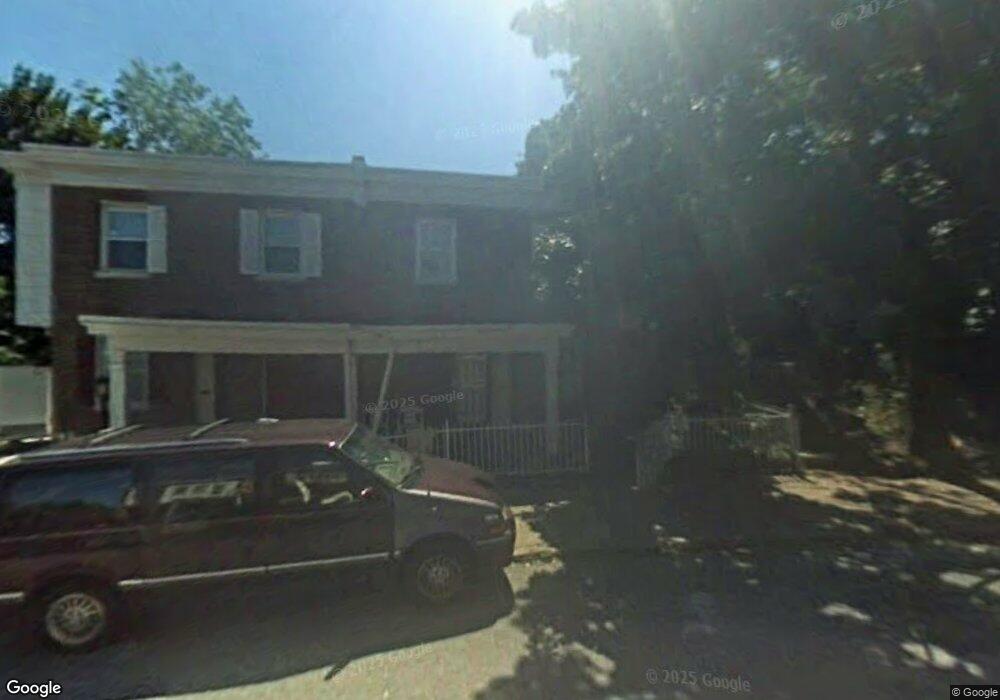
318 W Milne St Philadelphia, PA 19144
Germantown NeighborhoodEstimated Value: $157,747 - $193,000
--
Bed
--
Bath
1,000
Sq Ft
$172/Sq Ft
Est. Value
About This Home
This home is located at 318 W Milne St, Philadelphia, PA 19144 and is currently estimated at $172,187, approximately $172 per square foot. 318 W Milne St is a home located in Philadelphia County with nearby schools including John B. Kelly School, Roosevelt Theodore Middle School, and Martin Luther King High School.
Ownership History
Date
Name
Owned For
Owner Type
Purchase Details
Closed on
Oct 21, 2019
Sold by
Graham Louise and City Of Philadelphia
Bought by
Brown Jacoby
Current Estimated Value
Purchase Details
Closed on
Jan 13, 2003
Sold by
Boykin David J
Bought by
Graham Louise
Home Financials for this Owner
Home Financials are based on the most recent Mortgage that was taken out on this home.
Original Mortgage
$33,950
Interest Rate
5.95%
Create a Home Valuation Report for This Property
The Home Valuation Report is an in-depth analysis detailing your home's value as well as a comparison with similar homes in the area
Home Values in the Area
Average Home Value in this Area
Purchase History
| Date | Buyer | Sale Price | Title Company |
|---|---|---|---|
| Brown Jacoby | $35,000 | None Available | |
| Graham Louise | $35,000 | Multiple |
Source: Public Records
Mortgage History
| Date | Status | Borrower | Loan Amount |
|---|---|---|---|
| Previous Owner | Graham Louise | $33,950 |
Source: Public Records
Tax History Compared to Growth
Tax History
| Year | Tax Paid | Tax Assessment Tax Assessment Total Assessment is a certain percentage of the fair market value that is determined by local assessors to be the total taxable value of land and additions on the property. | Land | Improvement |
|---|---|---|---|---|
| 2026 | $1,699 | $153,600 | $30,720 | $122,880 |
| 2025 | $1,699 | $153,600 | $30,720 | $122,880 |
| 2024 | $1,699 | $153,600 | $30,720 | $122,880 |
| 2023 | $1,699 | $121,400 | $24,280 | $97,120 |
| 2022 | $1,162 | $121,400 | $24,280 | $97,120 |
| 2021 | $1,162 | $0 | $0 | $0 |
| 2020 | $1,162 | $0 | $0 | $0 |
| 2019 | $798 | $0 | $0 | $0 |
| 2018 | $836 | $0 | $0 | $0 |
| 2017 | $836 | $0 | $0 | $0 |
| 2016 | $836 | $0 | $0 | $0 |
| 2015 | $800 | $0 | $0 | $0 |
| 2014 | -- | $59,700 | $8,536 | $51,164 |
| 2012 | -- | $9,856 | $2,169 | $7,687 |
Source: Public Records
Map
Nearby Homes
- 4520 Fernhill Rd
- 4534 Fernhill Rd
- 4544 Fernhill Rd
- 4545 Morris St
- 4529 Pulaski Ave
- 4545 Pulaski Ave
- 242 W Berkley St
- 4551 Pulaski Ave
- 4634 Fernhill Rd
- 4641 Fernhill Rd
- 4623 Pulaski Ave
- 214 W Abbottsford Ave
- 2013 Newcomb St
- 157 W Apsley St
- 4845 Pulaski Ave
- 4363 Wayne Ave
- 1938 Roberts Ave
- 2010 Rowan St
- 4429 Greene St
- 1938 W Bristol St
- 316 W Milne St
- 322 W Milne St
- 324 W Milne St
- 314 W Milne St
- 326 W Milne St
- 328 W Milne St
- 312 W Milne St
- 305 W Milne St
- 4518 Pulaski Ave
- 303 W Milne St
- 307 W Milne St
- 309 W Milne St
- 301 W Milne St
- 330 W Milne St
- 311 W Milne St
- 313 W Milne St
- 332 W Milne St
- 315 W Milne St
- 334 W Milne St
- 317 W Milne St