318 Whitetail Cir Southbridge, MA 01550
Estimated Value: $410,000 - $426,000
3
Beds
2
Baths
1,516
Sq Ft
$276/Sq Ft
Est. Value
About This Home
This home is located at 318 Whitetail Cir, Southbridge, MA 01550 and is currently estimated at $418,960, approximately $276 per square foot. 318 Whitetail Cir is a home with nearby schools including Trinity Catholic Academy.
Ownership History
Date
Name
Owned For
Owner Type
Purchase Details
Closed on
Feb 12, 2010
Sold by
Jamaheja Inc
Bought by
Foster Sho-Lei and Lamica Sara B
Current Estimated Value
Home Financials for this Owner
Home Financials are based on the most recent Mortgage that was taken out on this home.
Original Mortgage
$250,000
Outstanding Balance
$166,201
Interest Rate
5.12%
Mortgage Type
Purchase Money Mortgage
Estimated Equity
$252,759
Create a Home Valuation Report for This Property
The Home Valuation Report is an in-depth analysis detailing your home's value as well as a comparison with similar homes in the area
Home Values in the Area
Average Home Value in this Area
Purchase History
| Date | Buyer | Sale Price | Title Company |
|---|---|---|---|
| Foster Sho-Lei | $70,000 | -- | |
| Foster Sho-Lei | $70,000 | -- |
Source: Public Records
Mortgage History
| Date | Status | Borrower | Loan Amount |
|---|---|---|---|
| Open | Foster Sho-Lei | $250,000 | |
| Closed | Foster Sho-Lei | $250,000 |
Source: Public Records
Tax History Compared to Growth
Tax History
| Year | Tax Paid | Tax Assessment Tax Assessment Total Assessment is a certain percentage of the fair market value that is determined by local assessors to be the total taxable value of land and additions on the property. | Land | Improvement |
|---|---|---|---|---|
| 2025 | $5,833 | $397,900 | $55,900 | $342,000 |
| 2024 | $5,468 | $358,300 | $46,500 | $311,800 |
| 2023 | $5,177 | $326,800 | $46,500 | $280,300 |
| 2022 | $4,885 | $272,900 | $39,700 | $233,200 |
| 2021 | $5,305 | $272,900 | $39,700 | $233,200 |
| 2020 | $5,156 | $264,700 | $39,700 | $225,000 |
| 2018 | $4,397 | $211,900 | $39,700 | $172,200 |
| 2017 | $4,369 | $212,400 | $39,700 | $172,700 |
| 2016 | $4,139 | $204,800 | $39,700 | $165,100 |
| 2015 | $4,074 | $200,100 | $43,600 | $156,500 |
| 2014 | $3,930 | $200,100 | $43,600 | $156,500 |
Source: Public Records
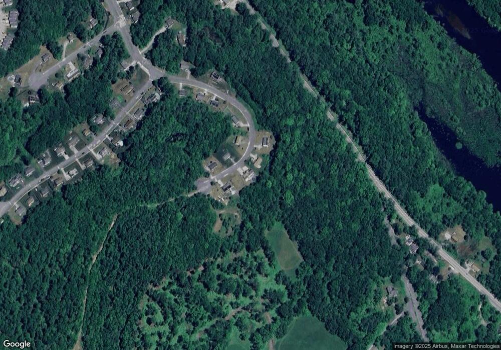
Map
Nearby Homes
- 768 Ashland Ave
- 325 Ashland Ave Unit 10
- 325 Ashland Ave Unit 2
- 325 Ashland Ave Unit 12
- 4 W Dudley Rd
- 2 W Dudley Rd
- 280 Dudley Southbridge Rd
- 717 Tipton Rock Rd
- 0 Old North Woodstock Rd
- 249 Dudley Southbridge Rd
- 6 Blackwell Dr
- 0 Brentwood Dr
- 1023 N Woodstock Rd
- 104 Hilltop Dr Unit 2
- 29 Arland Dr
- 11 Lempicki Rd
- 128 Old Southbridge Rd
- 51 Warren St
- 112 Chestnut St
- 9 Piehl Dr
- 326 Whitetail Cir
- 310 Whitetail Cir
- 323 Whitetail Cir
- 331 Whitetail Cir
- 311 Whitetail Cir
- 332 Whitetail Cir
- 347 Whitetail Cir
- 359 Whitetail Cir
- 371 Whitetail Cir
- 368 Whitetail Cir
- 0 Old Dudley Rd
- 1 Whitetail Cir
- 104 Red Fox Blvd
- 133 Red Fox Blvd
- 102 Red Fox Blvd
- 134 Red Fox Blvd
- 143 Red Fox Blvd
- 9 Whitetail Cir
- 380 Whitetail Cir
- 21 Whitetail Cir