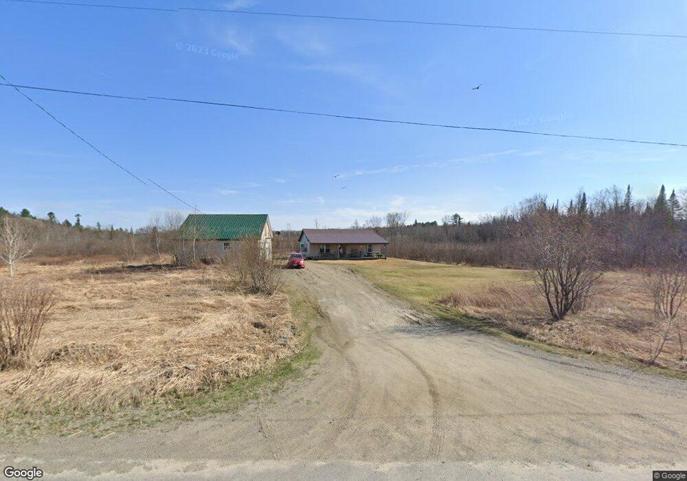
318 Wood Rd Cornville, ME 04976
Estimated Value: $138,000 - $254,000
About This Home
This home is located at 318 Wood Rd, Cornville, ME 04976 and is currently estimated at $205,038, approximately $192 per square foot. 318 Wood Rd is a home located in Somerset County.
Ownership History
We collect this data history from publicly available records. To have your information removed, we recommend requesting removal directly through your county’s website.
Purchase Details
Purchase Details
Home Financials for this Owner
Home Financials are based on the most recent Mortgage that was taken out on this home.Purchase Details
Purchase Details
Purchase History
We collect this data history from publicly available records. To have your information removed, we recommend requesting removal directly through your county’s website.
| Date | Buyer | Sale Price | Title Company |
|---|---|---|---|
| -- | -- | ||
| -- | -- | ||
| -- | None Available | ||
| -- | None Available | ||
| -- | -- | ||
| -- | -- | ||
| -- | -- |
Mortgage History
We collect this data history from publicly available records. To have your information removed, we recommend requesting removal directly through your county’s website.
| Date | Status | Borrower | Loan Amount |
|---|---|---|---|
| Previous Owner | $118,350 |
Tax History
We collect this data history from publicly available records. To have your information removed, we recommend requesting removal directly through your county’s website.
| Year | Tax Paid | Tax Assessment Tax Assessment Total Assessment is a certain percentage of the fair market value that is determined by local assessors to be the total taxable value of land and additions on the property. | Land | Improvement |
|---|---|---|---|---|
| 2025 | $1,713 | $161,620 | $51,400 | $110,220 |
| 2024 | $1,713 | $161,620 | $51,400 | $110,220 |
| 2023 | $1,629 | $112,360 | $35,600 | $76,760 |
| 2022 | $1,629 | $112,360 | $35,600 | $76,760 |
| 2021 | $1,629 | $112,360 | $35,600 | $76,760 |
| 2020 | $1,629 | $112,360 | $35,600 | $76,760 |
| 2019 | $1,447 | $89,310 | $27,390 | $61,920 |
| 2018 | $1,340 | $89,310 | $27,390 | $61,920 |
| 2017 | $1,358 | $79,900 | $32,100 | $47,800 |
| 2016 | $1,358 | $79,900 | $32,100 | $47,800 |
| 2015 | $1,358 | $79,900 | $32,100 | $47,800 |
| 2013 | $1,358 | $79,900 | $32,100 | $47,800 |
Map
- 167 Lower Mills Rd
- 151 Lower Mills Rd
- M9 L29 Beckwith Rd
- Mallard Rd L13-6
- Mallard Rd
- 943 Beckwith Rd
- 7 & 9 Crane Ln
- 35 Heron Rd
- 315 Molunkus Rd
- 325 Molunkus Rd
- 16 Salmon Rd
- 31 Salmon Rd
- Lot 41 Salmon Rd
- 22 Deer Hill Estates
- 55 Salmon Rd
- 5 Holly Ln
- 12 Carp Rd
- 6 Pickerel Rd Unit 2
- 21 Naomi Ave
- 6 Carp Rd
- 288 Wood Rd
- M11 L50 Molunkus Rd
- 896 Beckwith Rd
- 818 Beckwith Rd
- 266 Wood Rd
- 202 Lower Mills Rd
- 197 Lower Mills Rd
- 741 Molunkus Rd
- 758 Molunkus Rd
- 181 Lower Mills Rd
- 750 Molunkus Rd
- 184 Lower Mills Rd
- 910 Molunkus Rd
- 723 Molunkus Rd
- 920 Molunkus Rd
- 5840 Molunkus Rd
- 163 Lower Mills Rd
- 930 Molunkus Rd
- 157 Lower Mills Rd
- 154 Lower Mills Rd
Ask me questions while you tour the home.