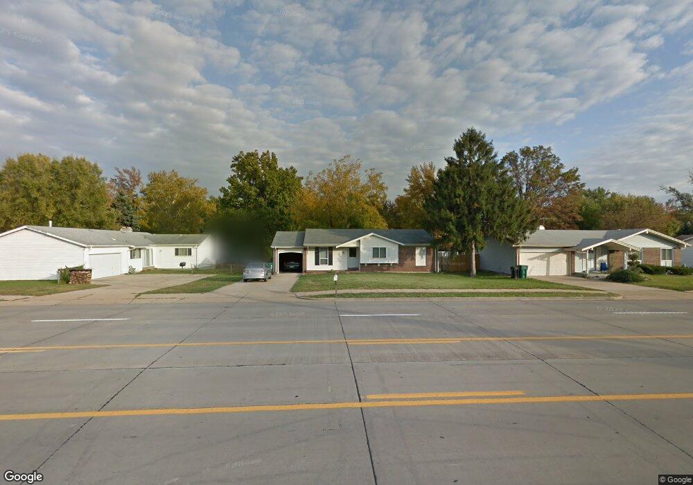
3180 Shackelford Rd Florissant, MO 63031
Estimated Value: $124,000 - $181,000
3
Beds
2
Baths
1,054
Sq Ft
$151/Sq Ft
Est. Value
About This Home
This home is located at 3180 Shackelford Rd, Florissant, MO 63031 and is currently estimated at $159,605, approximately $151 per square foot. 3180 Shackelford Rd is a home located in St. Louis County with nearby schools including North Middle School, Hazelwood Central High School, and Oak Bridge.
Ownership History
Date
Name
Owned For
Owner Type
Purchase Details
Closed on
Jun 30, 2020
Sold by
Rosner Ellen M and Schneider Judith Ann
Bought by
Holmes Brian and Holmes Kristene
Current Estimated Value
Home Financials for this Owner
Home Financials are based on the most recent Mortgage that was taken out on this home.
Original Mortgage
$46,000
Outstanding Balance
$40,699
Interest Rate
3.1%
Mortgage Type
Future Advance Clause Open End Mortgage
Estimated Equity
$118,906
Create a Home Valuation Report for This Property
The Home Valuation Report is an in-depth analysis detailing your home's value as well as a comparison with similar homes in the area
Home Values in the Area
Average Home Value in this Area
Purchase History
| Date | Buyer | Sale Price | Title Company |
|---|---|---|---|
| Holmes Brian | $45,000 | Investors Title Co Clayton |
Source: Public Records
Mortgage History
| Date | Status | Borrower | Loan Amount |
|---|---|---|---|
| Open | Holmes Brian | $46,000 |
Source: Public Records
Tax History Compared to Growth
Tax History
| Year | Tax Paid | Tax Assessment Tax Assessment Total Assessment is a certain percentage of the fair market value that is determined by local assessors to be the total taxable value of land and additions on the property. | Land | Improvement |
|---|---|---|---|---|
| 2025 | $2,146 | $32,420 | $5,740 | $26,680 |
| 2024 | $2,146 | $24,490 | $2,280 | $22,210 |
| 2023 | $2,513 | $28,770 | $2,280 | $26,490 |
| 2022 | $2,008 | $20,440 | $3,740 | $16,700 |
| 2021 | $1,980 | $20,440 | $3,740 | $16,700 |
| 2020 | $1,914 | $18,390 | $5,740 | $12,650 |
| 2019 | $1,885 | $18,390 | $5,740 | $12,650 |
| 2018 | $1,861 | $16,700 | $1,880 | $14,820 |
| 2017 | $1,859 | $16,700 | $1,880 | $14,820 |
| 2016 | $1,366 | $12,040 | $2,220 | $9,820 |
| 2015 | $1,337 | $12,040 | $2,220 | $9,820 |
| 2014 | $1,676 | $15,620 | $3,520 | $12,100 |
Source: Public Records
Map
Nearby Homes
- 1807 Kilmory Dr
- 1638 Matlock Dr
- 1641 Sherwood Forest Dr
- 1455 Burnside Ct
- 1522 Sherwood Forest Dr
- 3035 Matlock Dr
- 2916 Corn Silk Ct
- 2906 Russet Ct
- 3645 Woodman Dr
- 3660 Woodman Dr
- 1323 Woodpath Dr
- 3213 Yvette Ct
- 1114 Ransome Ct
- 16787 River Stone Dr
- 2 Aspen II at Riverstone
- 16804 River Stone Dr
- 2 Berwick at Riverstone
- 2 Ashford at Riverstone
- 2 Maple at Riverstone
- 3819 Sonora Stone Dr
- 3170 Shackelford Rd
- 1725 Kilmory Dr
- 3185 Matlock Dr
- 3175 Matlock Dr
- 1705 Kilmory Dr
- 3160 Shackelford Rd
- 1801 Chateau Du Mont Dr
- 1800 Chateau Du Mont Dr
- 3165 Matlock Dr
- 3150 Shackelford Rd
- 1730 Kilmory Dr
- 3155 Matlock Dr
- 1805 Chateau Du Mont Dr
- 1710 Kilmory Dr
- 1697 Somerset Shire Dr
- 3140 Shackelford Rd
- 1696 Somerset Shire Dr
- 1694 Kew Gardens Dr
- 1802 Kilmory Dr
- 1809 Chateau Du Mont Dr