3182 N Pullen Rd Damascus, GA 39841
Estimated Value: $234,000 - $306,000
--
Bed
1
Bath
2,576
Sq Ft
$103/Sq Ft
Est. Value
About This Home
This home is located at 3182 N Pullen Rd, Damascus, GA 39841 and is currently estimated at $266,313, approximately $103 per square foot. 3182 N Pullen Rd is a home with nearby schools including Early County Elementary School, Early County Middle School, and Early County High School.
Ownership History
Date
Name
Owned For
Owner Type
Purchase Details
Closed on
Mar 15, 2024
Sold by
Jones Brooks Tina
Bought by
Brooks Donley Mary
Current Estimated Value
Home Financials for this Owner
Home Financials are based on the most recent Mortgage that was taken out on this home.
Original Mortgage
$254,506
Outstanding Balance
$186,954
Interest Rate
6.77%
Mortgage Type
New Conventional
Estimated Equity
$79,359
Purchase Details
Closed on
Jul 17, 1978
Bought by
Brooks Donald and Brooks Tina
Create a Home Valuation Report for This Property
The Home Valuation Report is an in-depth analysis detailing your home's value as well as a comparison with similar homes in the area
Home Values in the Area
Average Home Value in this Area
Purchase History
| Date | Buyer | Sale Price | Title Company |
|---|---|---|---|
| Brooks Donley Mary | $250,000 | -- | |
| Brooks Donald | -- | -- |
Source: Public Records
Mortgage History
| Date | Status | Borrower | Loan Amount |
|---|---|---|---|
| Open | Brooks Donley Mary | $254,506 |
Source: Public Records
Tax History Compared to Growth
Tax History
| Year | Tax Paid | Tax Assessment Tax Assessment Total Assessment is a certain percentage of the fair market value that is determined by local assessors to be the total taxable value of land and additions on the property. | Land | Improvement |
|---|---|---|---|---|
| 2024 | $2,673 | $99,249 | $5,192 | $94,057 |
| 2023 | $2,476 | $99,249 | $5,192 | $94,057 |
| 2022 | $2,140 | $92,410 | $4,444 | $87,966 |
| 2021 | $2,036 | $81,958 | $4,444 | $77,514 |
| 2020 | $2,134 | $87,418 | $4,444 | $82,974 |
| 2019 | $2,075 | $82,681 | $4,444 | $78,237 |
| 2018 | $2,075 | $82,681 | $4,444 | $78,237 |
| 2017 | $2,087 | $83,063 | $4,444 | $78,619 |
| 2016 | $2,003 | $77,146 | $4,444 | $72,702 |
| 2015 | -- | $81,032 | $3,753 | $77,279 |
| 2014 | -- | $81,032 | $3,753 | $77,279 |
| 2013 | -- | $81,032 | $3,752 | $77,279 |
Source: Public Records
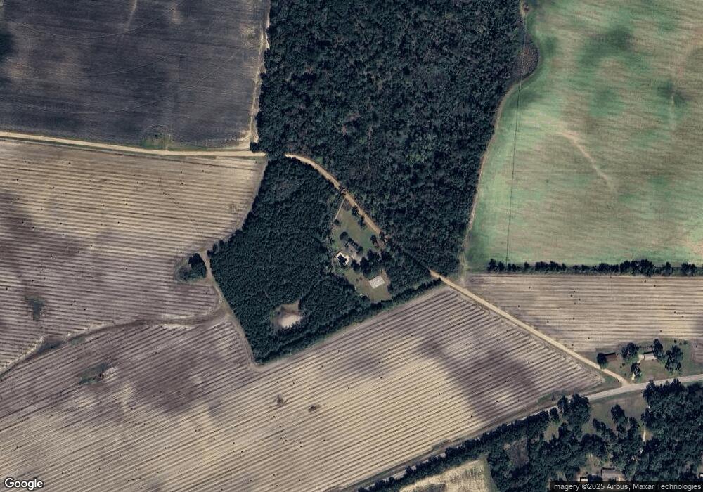
Map
Nearby Homes
- 000 Georgia 200
- 430 Cox Rd
- 1545 Phillipsburg Rd
- 2400 Roe Taylor Rd
- 113 Crooked Oak Ln
- 0 Big Pond Rd
- Pullen Rd
- 7855 Joe Bryan St
- 745 Harmony Church Rd
- 8667 Joe Bryan St
- 221 ac Crestview Rd
- Crestview Rd
- 000 Phillipsburg Rd
- 1203 Bellview Rd
- 300 N First St
- 570 E Pine St
- 000 Bellview Rd
- 324 Privett Store Rd
- 210 N First St
- 356 E Main St