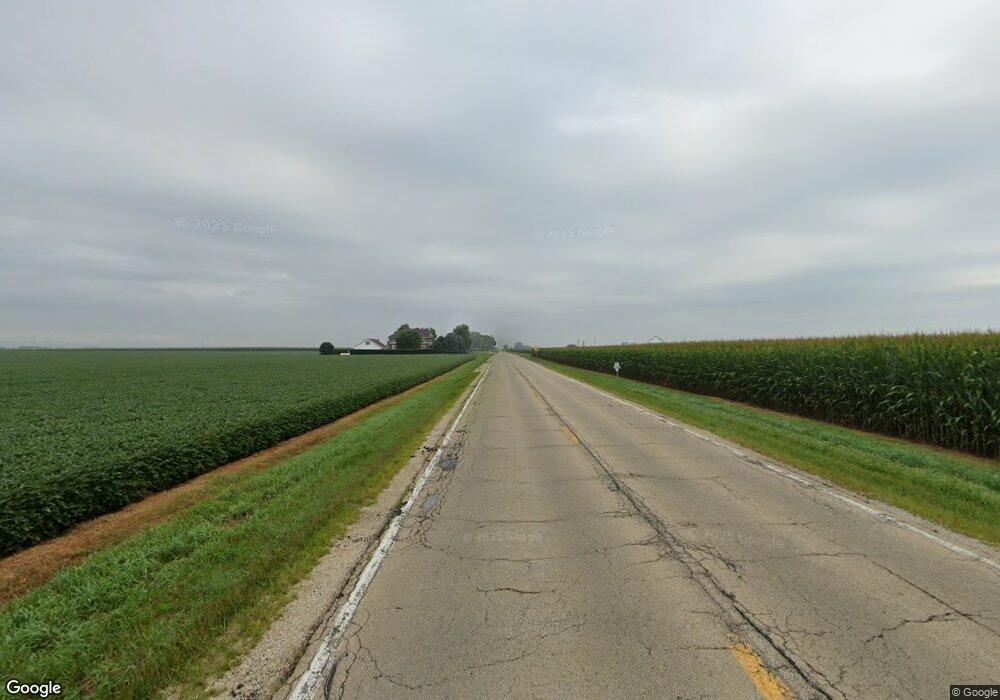
3182 N Us Highway 251 La Salle, IL 61301
Estimated Value: $180,000 - $329,944
--
Bed
--
Bath
--
Sq Ft
1.25
Acres
About This Home
This home is located at 3182 N Us Highway 251, La Salle, IL 61301 and is currently estimated at $267,986. 3182 N Us Highway 251 is a home located in LaSalle County with nearby schools including Dimmick Community Cons School and La Salle Peru Christian School.
Ownership History
Date
Name
Owned For
Owner Type
Purchase Details
Closed on
Jun 30, 2017
Sold by
Vertheen Shawn
Bought by
Heller Jared
Current Estimated Value
Home Financials for this Owner
Home Financials are based on the most recent Mortgage that was taken out on this home.
Original Mortgage
$100,800
Outstanding Balance
$85,396
Interest Rate
4.63%
Mortgage Type
New Conventional
Estimated Equity
$182,590
Purchase Details
Closed on
Sep 29, 2012
Sold by
Washkowiak Douglas M and Washkowiak Kimber L
Bought by
Vertheen Shawn
Create a Home Valuation Report for This Property
The Home Valuation Report is an in-depth analysis detailing your home's value as well as a comparison with similar homes in the area
Home Values in the Area
Average Home Value in this Area
Purchase History
| Date | Buyer | Sale Price | Title Company |
|---|---|---|---|
| Heller Jared | $126,000 | -- | |
| Vertheen Shawn | $120,000 | None Available |
Source: Public Records
Mortgage History
| Date | Status | Borrower | Loan Amount |
|---|---|---|---|
| Open | Heller Jared | $100,800 |
Source: Public Records
Tax History Compared to Growth
Tax History
| Year | Tax Paid | Tax Assessment Tax Assessment Total Assessment is a certain percentage of the fair market value that is determined by local assessors to be the total taxable value of land and additions on the property. | Land | Improvement |
|---|---|---|---|---|
| 2024 | $3,059 | $57,784 | $12,622 | $45,162 |
| 2023 | $2,700 | $51,041 | $11,149 | $39,892 |
| 2022 | $2,601 | $49,168 | $12,616 | $36,552 |
| 2021 | $2,443 | $45,687 | $11,723 | $33,964 |
| 2020 | $2,250 | $42,547 | $10,917 | $31,630 |
| 2019 | $2,116 | $40,256 | $10,329 | $29,927 |
| 2018 | $2,100 | $39,735 | $10,195 | $29,540 |
| 2017 | $1,950 | $37,004 | $9,494 | $27,510 |
| 2016 | $2,050 | $38,054 | $9,763 | $28,291 |
| 2015 | $1,787 | $36,211 | $9,290 | $26,921 |
| 2012 | -- | $40,000 | $10,262 | $29,738 |
Source: Public Records
Map
Nearby Homes
- 3290 E 289th Rd
- Lot 5 May Business Road Park
- Lot 1 May Road Business Park
- Lot 1 Peoria & 36th St
- 3024 E 103rd Rd
- 999 Raccuglia Dr
- 000 Raccuglia Dr
- 0 E 103rd Rd
- 000 N Ave
- 0000 Central & N Ave
- 1536 & 1546 La Harpe St
- 2927 Peoria St
- 70X Wenzel Rd
- 7XX Wenzel Rd
- Lot 1 Cougar Dr
- Lot 7 Cougar Dr
- Lot 6 Cougar Dr
- Lot 3 Cougar Dr
- Lot 2 Cougar Dr
- 2705 Saint Vincent Ave Unit 23A
