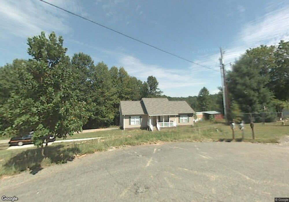
3183 Mountain Brook Trail Winston Salem, NC 27105
Northeast Winston-Salem NeighborhoodEstimated Value: $177,000 - $304,000
3
Beds
4
Baths
2,912
Sq Ft
$82/Sq Ft
Est. Value
About This Home
This home is located at 3183 Mountain Brook Trail, Winston Salem, NC 27105 and is currently estimated at $239,667, approximately $82 per square foot. 3183 Mountain Brook Trail is a home located in Forsyth County with nearby schools including Ibraham Elementary School, Mineral Springs Middle School, and Walkertown High School.
Ownership History
Date
Name
Owned For
Owner Type
Purchase Details
Closed on
Feb 10, 2014
Sold by
Tarkington Bruce E and Tarkington Elizabeth G
Bought by
Kilby Calvin Eugene and Kilby Paweena K
Current Estimated Value
Purchase Details
Closed on
Feb 4, 2014
Sold by
Teague Aubrey R and Teague Margaret R
Bought by
Kilby Calvin E and Kilby Paweena K
Purchase Details
Closed on
Jul 24, 2012
Sold by
Haynes Kilby Jr Clifton J and Haynes Kilby Cathy
Bought by
Haynes Kilby Jr Clifton J and Haynes Kilby Cathy
Create a Home Valuation Report for This Property
The Home Valuation Report is an in-depth analysis detailing your home's value as well as a comparison with similar homes in the area
Home Values in the Area
Average Home Value in this Area
Purchase History
| Date | Buyer | Sale Price | Title Company |
|---|---|---|---|
| Kilby Calvin Eugene | -- | None Available | |
| Kilby Calvin E | $1,500 | None Available | |
| Haynes Kilby Jr Clifton J | -- | None Available |
Source: Public Records
Tax History Compared to Growth
Tax History
| Year | Tax Paid | Tax Assessment Tax Assessment Total Assessment is a certain percentage of the fair market value that is determined by local assessors to be the total taxable value of land and additions on the property. | Land | Improvement |
|---|---|---|---|---|
| 2025 | $940 | $275,000 | $54,600 | $220,400 |
| 2024 | $940 | $153,100 | $48,400 | $104,700 |
| 2023 | $940 | $153,100 | $48,400 | $104,700 |
| 2022 | $935 | $153,100 | $48,400 | $104,700 |
| 2021 | $935 | $0 | $0 | $0 |
| 2020 | $862 | $99,600 | $15,300 | $84,300 |
| 2019 | $872 | $99,600 | $15,300 | $84,300 |
| 2018 | $829 | $99,600 | $15,300 | $84,300 |
| 2016 | $716 | $118,662 | $47,817 | $70,845 |
| 2015 | $704 | $118,662 | $47,817 | $70,845 |
| 2014 | $687 | $118,662 | $47,817 | $70,845 |
Source: Public Records
Map
Nearby Homes
- 0 Baux Mountain Rd Unit 1184567
- 1700 Old Hollow Rd
- 00 Old Hollow Rd
- 0 Sheets Trail Unit 1178025
- 00 Davis Rd
- 0 Davis Rd Unit 1183506
- 5040 Baux Mountain Rd
- 5036 Baux Mountain Rd
- 4965 Lyman Rd
- 5076 Ozark Rd
- 5705 Marshallgate Dr
- 5025 Appalachian Rd
- 4871 Phelps Dr
- 5061 Ozark St
- 4880 Phelps Dr
- 5149 Alaska Rd
- 0 Yukon Rd
- 1943 Old Hollow Rd
- 5084 Dippen Rd
- 1952 Old Hollow Rd
- 3179 Mountain Brook Trail
- 0 Mountain Brook Trail
- 3155 Mountain Brook Trail
- 3130 Mountain Brook Trail
- 5754 Davis Rd
- 3085 Mountain Brook Trail
- 5714 Davis Rd
- 3652 Dylanwood Ct
- 00 Mountain Brook Trail
- 3675 Dylanwood Ct
- 3070 Mountain Brook Trail
- 3064 Mountain Brook Trail
- 3057 Mountain Brook Trail
- 6401 Merlendale Ln
- 5589 Remington Point Dr
- 1485 Old Hollow Rd
- 5585 Remington Point Dr
- 5740 Davis Rd
- 5654 Davis Rd
- 5766 Davis Rd