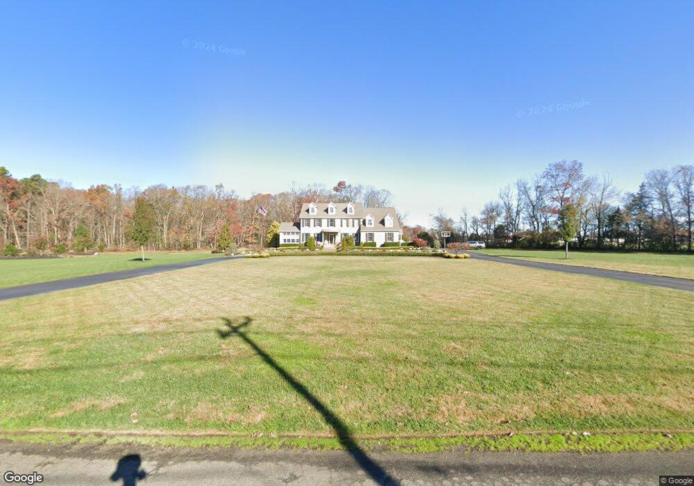
3184 Vine Rd Vineland, NJ 08360
Estimated Value: $1,192,000 - $1,649,000
--
Bed
--
Bath
4,592
Sq Ft
$296/Sq Ft
Est. Value
About This Home
This home is located at 3184 Vine Rd, Vineland, NJ 08360 and is currently estimated at $1,356,968, approximately $295 per square foot. 3184 Vine Rd is a home located in Atlantic County with nearby schools including Buena Regional Middle School, Buena Regional High School, and St. Mary School.
Ownership History
Date
Name
Owned For
Owner Type
Purchase Details
Closed on
May 6, 2024
Sold by
Betts Philip
Bought by
Pacheco Isiah
Current Estimated Value
Home Financials for this Owner
Home Financials are based on the most recent Mortgage that was taken out on this home.
Original Mortgage
$675,000
Outstanding Balance
$665,427
Interest Rate
6.82%
Mortgage Type
New Conventional
Estimated Equity
$691,541
Purchase Details
Closed on
Apr 12, 2002
Sold by
Zitkus Lillie Judith and Lillia Joseph T
Bought by
Betts Philip and Betts Laurie
Create a Home Valuation Report for This Property
The Home Valuation Report is an in-depth analysis detailing your home's value as well as a comparison with similar homes in the area
Home Values in the Area
Average Home Value in this Area
Purchase History
| Date | Buyer | Sale Price | Title Company |
|---|---|---|---|
| Pacheco Isiah | $1,275,000 | Federation Title | |
| Betts Philip | $65,000 | -- |
Source: Public Records
Mortgage History
| Date | Status | Borrower | Loan Amount |
|---|---|---|---|
| Open | Pacheco Isiah | $675,000 |
Source: Public Records
Tax History Compared to Growth
Tax History
| Year | Tax Paid | Tax Assessment Tax Assessment Total Assessment is a certain percentage of the fair market value that is determined by local assessors to be the total taxable value of land and additions on the property. | Land | Improvement |
|---|---|---|---|---|
| 2025 | $20,730 | $665,500 | $143,300 | $522,200 |
| 2024 | $20,730 | $665,500 | $143,300 | $522,200 |
| 2023 | $19,076 | $636,500 | $143,300 | $493,200 |
| 2022 | $19,076 | $636,500 | $143,300 | $493,200 |
| 2021 | $18,694 | $636,500 | $143,300 | $493,200 |
| 2020 | $18,083 | $636,500 | $143,300 | $493,200 |
| 2019 | $17,370 | $636,500 | $143,300 | $493,200 |
| 2018 | $17,205 | $636,500 | $143,300 | $493,200 |
| 2017 | $17,052 | $636,500 | $143,300 | $493,200 |
| 2016 | $16,504 | $636,500 | $143,300 | $493,200 |
| 2015 | $16,193 | $636,500 | $143,300 | $493,200 |
| 2014 | $16,123 | $636,500 | $143,300 | $493,200 |
Source: Public Records
Map
Nearby Homes
- 267 Mayflower Dr
- 386 Indian Way
- 417 Captain Smith Ln
- 391 Indian Way
- 100 Country Ln Unit 100
- 318 John Alden Dr
- 153 Country Ln
- 529 Puritan Dr
- 434 Country Ln
- 119 Wheat Rd
- 112 Hammonton Rd
- 0 Post Rd Unit NJAC2018654
- 508 Martinelli Ave
- 314 Martinelli Ave
- 911 Harding Hwy
- 806 W Summer Rd
- 331 Lincoln Ave
- 306 E Pacific Ave
- 935 Harding Hwy
- 206 Hammonton Rd
- 3183 Vine Rd
- 3181 Vine Rd
- 159 Cumberland Rd
- 207 Cumberland Rd
- 217 Cumberland Rd
- 607 Plymouth Landing
- 603 Plymouth Landing
- 607 Plymouth Landing
- 607 Plymouth Landing
- 603 Plymouth Landing
- 605 Plymouth Landing
- 605 Plymouth Landing Unit 605
- 609 Plymouth Landing Dr
- 292 Mayflower Dr
- 282 Mayflower Dr
- 284 Mayflower Dr
- 290 Mayflower Dr
- 288 Mayflower Dr
- 606 Plymouth Landing
- 600 Chief Massasoit Ln