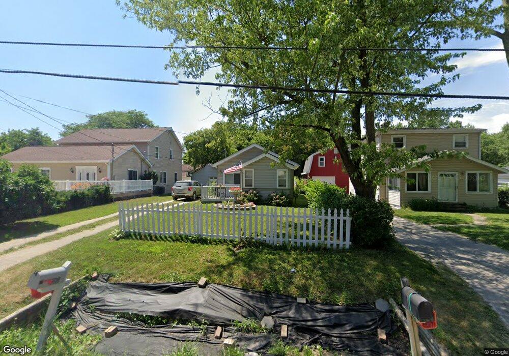
3185 Delaney St Flint, MI 48506
Northeast Flint NeighborhoodEstimated Value: $68,443 - $90,000
2
Beds
1
Bath
680
Sq Ft
$113/Sq Ft
Est. Value
About This Home
This home is located at 3185 Delaney St, Flint, MI 48506 and is currently estimated at $76,861, approximately $113 per square foot. 3185 Delaney St is a home located in Genesee County with nearby schools including Weston Elementary School, Kate Dowdall Elementary School, and Leota Fiedler Elementary School.
Ownership History
Date
Name
Owned For
Owner Type
Purchase Details
Closed on
Jul 30, 2009
Sold by
Chase Home Finance Llc
Bought by
Us Bank National Association
Current Estimated Value
Purchase Details
Closed on
Apr 15, 2009
Sold by
Pumfrey Michael
Bought by
Chase Home Finance Llc
Purchase Details
Closed on
Jul 14, 2004
Sold by
Sullivan Edward E and Sullivan Linda K
Bought by
Bankers Trust Co Of California Na
Purchase Details
Closed on
Nov 26, 2003
Sold by
Sullivan Edward E and Sullivan Linda K
Bought by
Bankers Trust Co Of California Na
Create a Home Valuation Report for This Property
The Home Valuation Report is an in-depth analysis detailing your home's value as well as a comparison with similar homes in the area
Home Values in the Area
Average Home Value in this Area
Purchase History
| Date | Buyer | Sale Price | Title Company |
|---|---|---|---|
| Us Bank National Association | -- | E Title Agency Inc | |
| Chase Home Finance Llc | $9,000 | None Available | |
| Bankers Trust Co Of California Na | $71,119 | -- | |
| Bankers Trust Co Of California Na | $60,104 | -- |
Source: Public Records
Tax History
| Year | Tax Paid | Tax Assessment Tax Assessment Total Assessment is a certain percentage of the fair market value that is determined by local assessors to be the total taxable value of land and additions on the property. | Land | Improvement |
|---|---|---|---|---|
| 2025 | $794 | $31,900 | $0 | $0 |
| 2024 | $162 | $29,200 | $0 | $0 |
| 2023 | $154 | $26,200 | $0 | $0 |
| 2022 | $657 | $23,700 | $0 | $0 |
| 2021 | $653 | $21,500 | $0 | $0 |
| 2020 | $141 | $19,400 | $0 | $0 |
| 2019 | $139 | $16,800 | $0 | $0 |
| 2018 | $628 | $15,600 | $0 | $0 |
| 2017 | $622 | $15,200 | $0 | $0 |
| 2016 | $618 | $14,500 | $0 | $0 |
| 2015 | $384 | $13,700 | $0 | $0 |
| 2014 | $128 | $12,700 | $0 | $0 |
| 2012 | -- | $10,700 | $10,700 | $0 |
Source: Public Records
Map
Nearby Homes
- 4213 Sugar Maple Run
- 4231 Sugar Maple Run
- 4207 Sugar Maple Run
- 4201 Sugar Maple Run Unit 2
- 4101 Sugar Maple Run Unit 1
- 4214 Sugar Maple Run Unit 32
- 4220 Sugar Maple Run Unit 33
- 4208 Sugar Maple Run Unit 31
- 4226 Sugar Maple Run Unit 34
- 4202 Sugar Maple Run Unit 30
- 4402 Maple Leaf Trail Unit 29
- 4255 Sugar Maple Run Unit 11
- 4261 Sugar Maple Run Unit 12
- 4414 Maple Leaf Trail
- 4258 Sugar Maple Run Unit 35
- 4267 Sugar Maple Run Unit 13
- 4420 Maple Leaf Trail
- 4273 Sugar Maple Run Unit 14
- 4426 Maple Leaf Trail
- 4213 Fairway View Unit 39
- 3177 Delaney St
- 3189 Delaney St
- 3173 Delaney St
- 3167 Delaney St
- 3193 Delaney St
- 3163 Delaney St
- 3174 Delaney St
- 3155 Delaney St
- 3180 Delaney St
- 3182 Delaney St
- 3190 Delaney St
- 3168 Delaney St
- 3159 Delaney St
- 3164 Delaney St
- 3197 Delaney St
- 3160 Delaney St
- 4047 Richfield Rd
- 4055 Richfield Rd
- 3148 Delaney St
- 4083 Richfield Rd
Your Personal Tour Guide
Ask me questions while you tour the home.