3185 Sand Rd Port Austin, MI 48467
Estimated Value: $305,528 - $415,000
--
Bed
--
Bath
--
Sq Ft
1.95
Acres
About This Home
This home is located at 3185 Sand Rd, Port Austin, MI 48467 and is currently estimated at $354,132. 3185 Sand Rd is a home with nearby schools including North Huron School.
Create a Home Valuation Report for This Property
The Home Valuation Report is an in-depth analysis detailing your home's value as well as a comparison with similar homes in the area
Home Values in the Area
Average Home Value in this Area
Tax History Compared to Growth
Tax History
| Year | Tax Paid | Tax Assessment Tax Assessment Total Assessment is a certain percentage of the fair market value that is determined by local assessors to be the total taxable value of land and additions on the property. | Land | Improvement |
|---|---|---|---|---|
| 2025 | $2,995 | $153,600 | $0 | $0 |
| 2024 | $714 | $141,100 | $0 | $0 |
| 2023 | $680 | $131,100 | $0 | $0 |
| 2022 | $647 | $116,200 | $0 | $0 |
| 2021 | $2,638 | $100,400 | $0 | $0 |
| 2020 | $2,542 | $94,200 | $0 | $0 |
| 2019 | $2,542 | $89,600 | $0 | $0 |
| 2018 | $2,514 | $83,400 | $0 | $0 |
| 2017 | $2,454 | $83,200 | $0 | $0 |
| 2016 | $575 | $83,400 | $0 | $0 |
| 2015 | $54,362 | $84,800 | $0 | $0 |
| 2014 | -- | $79,400 | $0 | $0 |
Source: Public Records
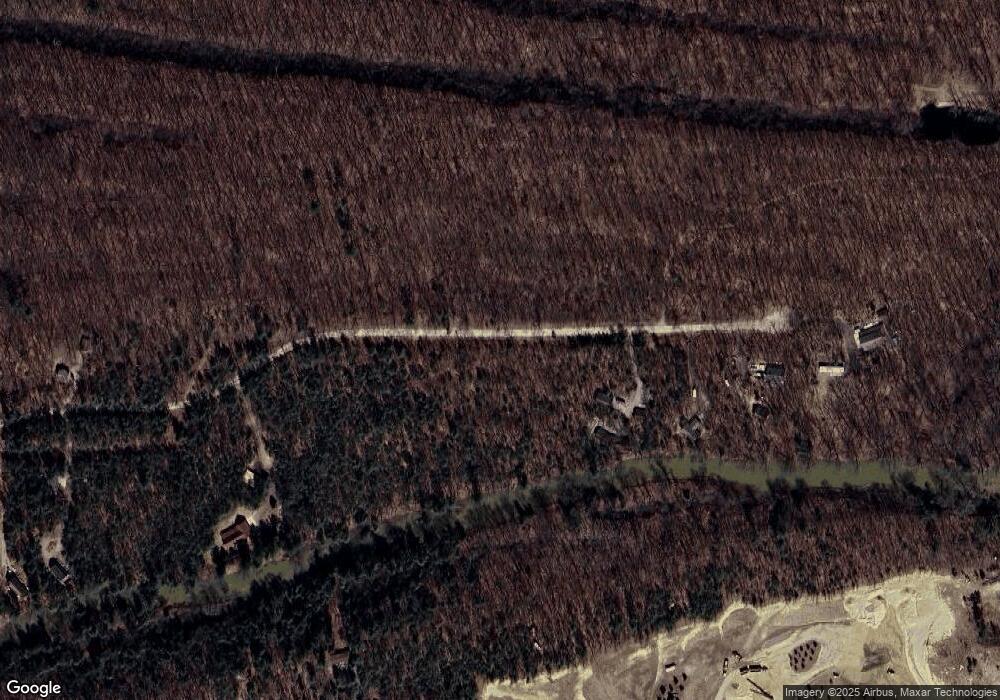
Map
Nearby Homes
- 6789 Oak Beach Rd
- 3897 Sand Rd
- 3948 Mary Anne Ln
- 1455 Sand Rd
- 6637 Osbourn Dr
- 4150 Port Austin Rd
- 4655 Port Austin Rd
- 4721 Port Austin Rd
- 539 Cove Dr
- 8779 Larned Rd Unit 21
- 165 Washington St
- 00 Point Aux Barques
- 00 Port Austin Rd Parcel C
- 00 Port Austin Rd Parcel B
- 00 Port Austin Rd Parcel A
- 0 Gagetown Rd Unit 50073948
- 14 Lot # lots 14-17 Towering Oaks Dr
- 5733 County Cork Dr
- 5735 County Cork Dr
- 5737 County Cork Dr