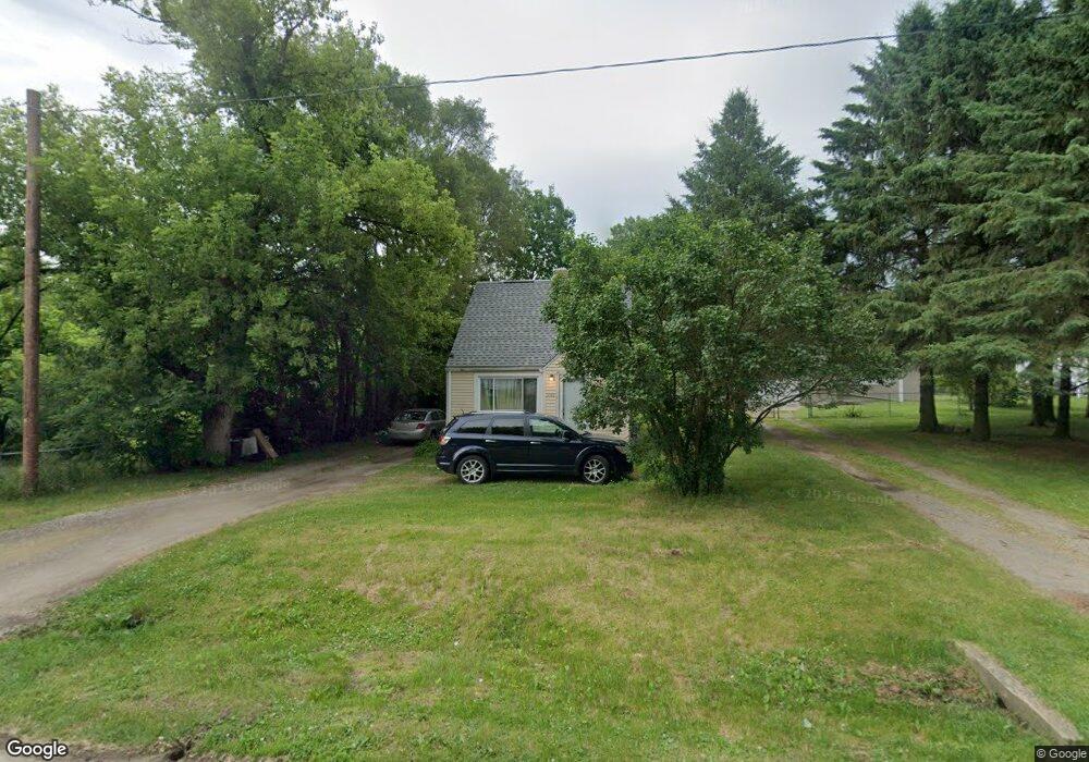
3186 Branch Rd Flint, MI 48506
Northeast Flint NeighborhoodEstimated Value: $62,000 - $72,000
--
Bed
--
Bath
775
Sq Ft
$85/Sq Ft
Est. Value
About This Home
This home is located at 3186 Branch Rd, Flint, MI 48506 and is currently estimated at $65,734, approximately $84 per square foot. 3186 Branch Rd is a home with nearby schools including Weston Elementary School, Kate Dowdall Elementary School, and Leota Fiedler Elementary School.
Ownership History
Date
Name
Owned For
Owner Type
Purchase Details
Closed on
Sep 22, 2006
Sold by
Srda Donald R
Bought by
Smith Jamie L
Current Estimated Value
Home Financials for this Owner
Home Financials are based on the most recent Mortgage that was taken out on this home.
Original Mortgage
$40,800
Outstanding Balance
$24,207
Interest Rate
6.45%
Mortgage Type
Purchase Money Mortgage
Estimated Equity
$41,527
Create a Home Valuation Report for This Property
The Home Valuation Report is an in-depth analysis detailing your home's value as well as a comparison with similar homes in the area
Home Values in the Area
Average Home Value in this Area
Purchase History
| Date | Buyer | Sale Price | Title Company |
|---|---|---|---|
| Smith Jamie L | $51,000 | Title Source Inc |
Source: Public Records
Mortgage History
| Date | Status | Borrower | Loan Amount |
|---|---|---|---|
| Open | Smith Jamie L | $40,800 |
Source: Public Records
Tax History Compared to Growth
Tax History
| Year | Tax Paid | Tax Assessment Tax Assessment Total Assessment is a certain percentage of the fair market value that is determined by local assessors to be the total taxable value of land and additions on the property. | Land | Improvement |
|---|---|---|---|---|
| 2025 | $2,293 | $26,800 | $0 | $0 |
| 2024 | $180 | $26,600 | $0 | $0 |
| 2023 | $172 | $24,500 | $0 | $0 |
| 2022 | $1,759 | $19,800 | $0 | $0 |
| 2021 | $1,754 | $17,700 | $0 | $0 |
| 2020 | $157 | $16,200 | $0 | $0 |
| 2019 | $154 | $14,800 | $0 | $0 |
| 2018 | $2,048 | $14,600 | $0 | $0 |
| 2017 | $2,563 | $14,700 | $0 | $0 |
| 2016 | $784 | $15,100 | $0 | $0 |
| 2015 | $653 | $15,100 | $0 | $0 |
| 2014 | $142 | $14,400 | $0 | $0 |
| 2012 | -- | $11,900 | $11,900 | $0 |
Source: Public Records
Map
Nearby Homes
- 4127 Coggins Ave
- 2935 Richfield Rd
- 3200 N Averill Ave
- 3250 Carr St
- 3710 Branch Rd
- 00 Richfield Rd
- 3702 Branch Rd
- 3226 Mcclure Ave
- 3010 Wyoming Ave
- 3009 Plainfield Ave
- 4907 Delta Dr
- 2801 Epsilon Trail
- 3364 E Pierson Rd
- 2713 Alpha Way
- 3299 E Pierson Rd
- 3729 Craig Dr
- 2802 Eaton Place
- 4923 Alpha Way
- 2710 Eaton Place
- 5220 Western Rd