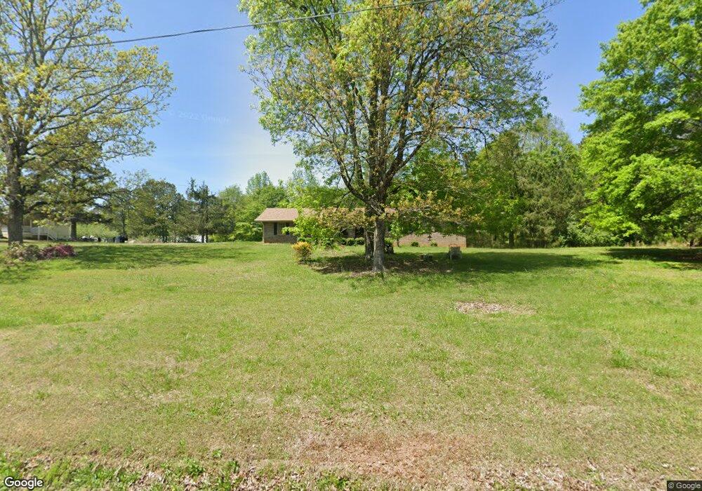
3186 Lee Dr Buford, GA 30518
Estimated Value: $376,000 - $469,000
3
Beds
2
Baths
1,815
Sq Ft
$239/Sq Ft
Est. Value
About This Home
This home is located at 3186 Lee Dr, Buford, GA 30518 and is currently estimated at $433,546, approximately $238 per square foot. 3186 Lee Dr is a home with nearby schools including Buford Elementary School, Buford Academy, and Buford Senior Academy.
Ownership History
Date
Name
Owned For
Owner Type
Purchase Details
Closed on
Feb 28, 2023
Sold by
Reece Constance B
Bought by
Mcdonald Benjamin Corey
Current Estimated Value
Purchase Details
Closed on
Sep 3, 2020
Sold by
Reece Constance B
Bought by
Reece Constance B and Reece Terry L
Purchase Details
Closed on
May 22, 2014
Sold by
Lee Eloise
Bought by
Reece Constance B
Purchase Details
Closed on
Mar 17, 1978
Sold by
Lee Stanford N
Bought by
Lee Eloise
Create a Home Valuation Report for This Property
The Home Valuation Report is an in-depth analysis detailing your home's value as well as a comparison with similar homes in the area
Home Values in the Area
Average Home Value in this Area
Purchase History
| Date | Buyer | Sale Price | Title Company |
|---|---|---|---|
| Mcdonald Benjamin Corey | $40,000 | -- | |
| Reece Constance B | -- | -- | |
| Reece Constance B | -- | -- | |
| Reece Constance B | -- | -- | |
| Lee Eloise | -- | -- |
Source: Public Records
Tax History
| Year | Tax Paid | Tax Assessment Tax Assessment Total Assessment is a certain percentage of the fair market value that is determined by local assessors to be the total taxable value of land and additions on the property. | Land | Improvement |
|---|---|---|---|---|
| 2025 | $1,191 | $125,840 | $73,440 | $52,400 |
| 2024 | $1,073 | $94,720 | $45,800 | $48,920 |
| 2023 | $774 | $91,520 | $44,520 | $47,000 |
| 2022 | $781 | $85,320 | $44,520 | $40,800 |
| 2021 | $784 | $81,240 | $10,440 | $70,800 |
| 2020 | $730 | $78,000 | $10,440 | $67,560 |
| 2019 | $705 | $73,720 | $10,440 | $63,280 |
| 2018 | $592 | $61,080 | $10,440 | $50,640 |
| 2017 | $583 | $58,080 | $10,440 | $47,640 |
| 2016 | $530 | $58,080 | $10,440 | $47,640 |
| 2015 | $1,154 | $138,440 | $112,400 | $26,040 |
| 2014 | $1,154 | $118,374 | $82,880 | $35,494 |
Source: Public Records
Map
Nearby Homes
- 3180 Lee Dr
- 6108 Hutchins Dr
- 5989 Lanier Islands Pkwy
- 6181 Shoreland Cir
- 6160 Shoreland Cir
- 3394 Lee Dr
- 3600 Shoreland Dr
- 0 McEver Rd Unit 10506093
- 6146 Bethany View Trail
- 2999 S Waterworks Rd
- 6205 Bridgewood Dr
- 6225 Bridgewood Dr
- 6222 Bridgewood Dr
- 6119 Bethany View Trail
- 0 N Waterworks Rd Unit 10673691
- 0 N Waterworks Rd Unit 7705447
- 6142 Bethany View Trail
- 452 Thunder Rd
- 450 Thunder Rd
- 454 Thunder Rd
Your Personal Tour Guide
Ask me questions while you tour the home.