3187 S Cherokee Ln Woodstock, GA 30188
Estimated Value: $814,000 - $2,631,055
5
Beds
4
Baths
6,992
Sq Ft
$228/Sq Ft
Est. Value
About This Home
This home is located at 3187 S Cherokee Ln, Woodstock, GA 30188 and is currently estimated at $1,596,352, approximately $228 per square foot. 3187 S Cherokee Ln is a home located in Cherokee County with nearby schools including Little River Elementary, Mill Creek Middle School, and River Ridge High School.
Ownership History
Date
Name
Owned For
Owner Type
Purchase Details
Closed on
Jun 21, 2022
Sold by
Mclaughlin Thomas F
Bought by
Mclaughlin Martha F
Current Estimated Value
Purchase Details
Closed on
Apr 11, 2013
Sold by
South Cherokee Llc
Bought by
Sharp Residential Llc
Purchase Details
Closed on
Sep 25, 2003
Sold by
Mclaughlin Martha F and Mclaughlin Thomas F
Bought by
Mclaughlin Martha F
Home Financials for this Owner
Home Financials are based on the most recent Mortgage that was taken out on this home.
Original Mortgage
$322,700
Interest Rate
5.85%
Mortgage Type
New Conventional
Create a Home Valuation Report for This Property
The Home Valuation Report is an in-depth analysis detailing your home's value as well as a comparison with similar homes in the area
Home Values in the Area
Average Home Value in this Area
Purchase History
| Date | Buyer | Sale Price | Title Company |
|---|---|---|---|
| Mclaughlin Martha F | -- | -- | |
| Sharp Residential Llc | -- | -- | |
| Sharp Residential Llc | -- | -- | |
| Sharp Residential Llc | -- | -- | |
| Mclaughlin Martha F | -- | -- |
Source: Public Records
Mortgage History
| Date | Status | Borrower | Loan Amount |
|---|---|---|---|
| Previous Owner | Mclaughlin Martha F | $322,700 |
Source: Public Records
Tax History Compared to Growth
Tax History
| Year | Tax Paid | Tax Assessment Tax Assessment Total Assessment is a certain percentage of the fair market value that is determined by local assessors to be the total taxable value of land and additions on the property. | Land | Improvement |
|---|---|---|---|---|
| 2025 | $6,592 | $1,060,920 | $309,120 | $751,800 |
| 2024 | $19,119 | $924,680 | $199,440 | $725,240 |
| 2023 | $19,011 | $934,920 | $199,440 | $735,480 |
| 2022 | $12,945 | $664,640 | $199,760 | $464,880 |
| 2021 | $12,213 | $578,360 | $199,760 | $378,600 |
| 2020 | $11,526 | $546,240 | $209,760 | $336,480 |
| 2019 | $12,057 | $567,000 | $199,760 | $367,240 |
| 2018 | $11,751 | $546,920 | $199,760 | $347,160 |
| 2017 | $12,027 | $1,379,100 | $199,760 | $351,880 |
| 2016 | $10,212 | $1,170,100 | $171,200 | $296,840 |
| 2015 | $9,868 | $1,119,900 | $146,760 | $301,200 |
| 2014 | $9,272 | $1,049,100 | $126,360 | $293,280 |
Source: Public Records
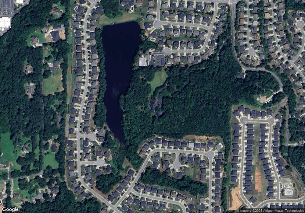
Map
Nearby Homes
- 1013 Liberty Springs Dr
- 274 Lakestone Pkwy
- 209 Lakestone Pkwy
- 317 Lakestone Landing
- 202 Roseman Way
- 120 Bevington Ln
- 2697 S Cherokee Ln
- 3025 S Cherokee Ln
- 141 Bevington Ln
- 383 Tillman Pass
- 213 Yellowwood Way
- 461 Maypop Ln
- 310 Lauren Ln
- 328 Lauren Ln
- 449 Maypop Ln
- 2874 S Cherokee Ln
- 208 Marlow Dr
- 444 Maypop Ln
- 255 Wild Ginger Bend
- 240 Village Square Dr
- 1024 Liberty Springs Dr
- 1020 Liberty Springs Dr
- 1010 Liberty Springs Dr
- 1001 Liberty Springs Dr
- 266 Lakestone Pkwy
- 268 Lakestone Pkwy
- 264 Lakestone Pkwy
- 262 Lakestone Pkwy
- 262 Lakestone Pkwy
- 270 Lakestone Pkwy
- 260 Lakestone Pkwy
- 0 Lakestone Pkwy Unit 8546991
- 0 Lakestone Pkwy Unit 8538677
- 0 Lakestone Pkwy Unit 8531967
- 0 Lakestone Pkwy Unit 8371644
- 0 Lakestone Pkwy Unit 8326397
- 0 Lakestone Pkwy Unit 8185751
- 0 Lakestone Pkwy Unit 8181327
- 0 Lakestone Pkwy Unit 7635458
- 0 Lakestone Pkwy Unit 8213557