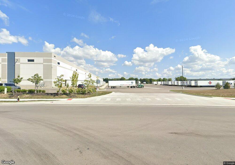
3188 Toy Rd Groveport, OH 43125
Estimated Value: $533,500
3
Beds
1
Bath
1,288
Sq Ft
$414/Sq Ft
Est. Value
About This Home
This home is located at 3188 Toy Rd, Groveport, OH 43125 and is currently priced at $533,500, approximately $414 per square foot. 3188 Toy Rd is a home located in Franklin County with nearby schools including Hamilton Elementary School, Hamilton Intermediate School, and Hamilton Middle School.
Ownership History
Date
Name
Owned For
Owner Type
Purchase Details
Closed on
Aug 19, 2021
Sold by
Molto Properties Fund Iii Llc
Bought by
Toy Road Llc
Current Estimated Value
Purchase Details
Closed on
Apr 23, 2021
Sold by
Snider Edith P and The Snider Family Trust
Bought by
Molto Properties Fund Iii Llc
Purchase Details
Closed on
Jul 29, 2003
Sold by
Snider Gerald L and Snider Edith P
Bought by
Snider Gerald L and Snider Edith P
Purchase Details
Closed on
Mar 3, 1999
Sold by
Snider Gerald L
Bought by
Franklin County Commissioners
Purchase Details
Closed on
Dec 14, 1981
Bought by
Snider Gerald L
Create a Home Valuation Report for This Property
The Home Valuation Report is an in-depth analysis detailing your home's value as well as a comparison with similar homes in the area
Home Values in the Area
Average Home Value in this Area
Purchase History
| Date | Buyer | Sale Price | Title Company |
|---|---|---|---|
| Toy Road Llc | -- | First Amer Ttl Ins Co Ncs Ch | |
| Molto Properties Fund Iii Llc | $717,000 | First Amer Ttl Ins Co Ncs Ch | |
| Snider Gerald L | -- | -- | |
| Franklin County Commissioners | -- | -- | |
| Snider Gerald L | -- | -- |
Source: Public Records
Tax History Compared to Growth
Tax History
| Year | Tax Paid | Tax Assessment Tax Assessment Total Assessment is a certain percentage of the fair market value that is determined by local assessors to be the total taxable value of land and additions on the property. | Land | Improvement |
|---|---|---|---|---|
| 2021 | $3,964 | $79,100 | $31,535 | $47,565 |
| 2020 | $3,964 | $79,110 | $31,540 | $47,570 |
| 2019 | $3,400 | $62,200 | $25,200 | $37,000 |
| 2018 | $2,827 | $62,200 | $25,200 | $37,000 |
| 2017 | $2,816 | $62,200 | $25,200 | $37,000 |
| 2016 | $2,421 | $45,790 | $22,510 | $23,280 |
| 2015 | $2,298 | $45,790 | $22,510 | $23,280 |
| 2014 | $2,286 | $45,790 | $22,510 | $23,280 |
| 2013 | $1,510 | $50,890 | $25,025 | $25,865 |
Source: Public Records
Map
Nearby Homes
- 5398 Armour Ct
- 5298 Knight St
- 3339 Lauren Fields Dr S
- 1987 Reese Ave
- 6635 Alum Creek Dr
- 3348 Glasgow Dr
- 3357 London Groveport Rd
- 4524 Sandridge St
- 3450 Rohr Rd
- 3463 Rohr Rd
- 4 Oak Rd Unit 4
- 3461 Rohr Rd
- 3515 Rohr Rd
- 1291 Webb Dr Unit Lot 90
- 1292 Webb Dr Unit Lot 83
- 4417 Lancaster Ave
- 4310 Charlotte Rd
- 4383 Lancaster Ave
- 5081 Lockbourne Rd
- Mitchell Plan at Buckstone Bend
