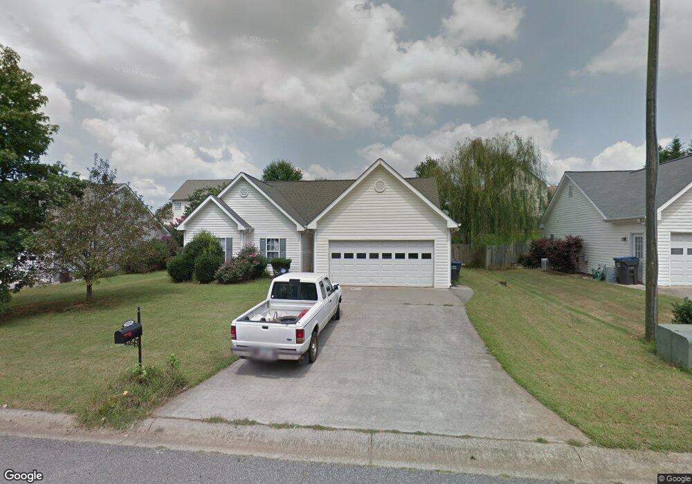
319 Apache Dr Canton, GA 30115
Estimated Value: $334,000
3
Beds
2
Baths
1,252
Sq Ft
$267/Sq Ft
Est. Value
About This Home
This home is located at 319 Apache Dr, Canton, GA 30115 and is currently estimated at $334,000, approximately $266 per square foot. 319 Apache Dr is a home located in Cherokee County with nearby schools including Holly Springs Elementary School, Rusk Middle School, and Sequoyah High School.
Ownership History
Date
Name
Owned For
Owner Type
Purchase Details
Closed on
Nov 8, 2012
Sold by
Hutter Kirk A
Bought by
Stevenson Lynn Anne
Current Estimated Value
Purchase Details
Closed on
Aug 19, 2003
Sold by
Sec Of Housing & Urban Devel
Bought by
Cole Lynn S
Home Financials for this Owner
Home Financials are based on the most recent Mortgage that was taken out on this home.
Original Mortgage
$120,150
Interest Rate
4.75%
Mortgage Type
New Conventional
Purchase Details
Closed on
May 6, 2003
Sold by
Washington Mutual Bank Fa
Bought by
Sec Of Housing & Urban Devel
Create a Home Valuation Report for This Property
The Home Valuation Report is an in-depth analysis detailing your home's value as well as a comparison with similar homes in the area
Home Values in the Area
Average Home Value in this Area
Purchase History
| Date | Buyer | Sale Price | Title Company |
|---|---|---|---|
| Stevenson Lynn Anne | -- | -- | |
| Cole Lynn S | -- | -- | |
| Sec Of Housing & Urban Devel | -- | -- | |
| Washington Mutual Bank Fa | $125,054 | -- |
Source: Public Records
Mortgage History
| Date | Status | Borrower | Loan Amount |
|---|---|---|---|
| Previous Owner | Cole Lynn S | $120,150 |
Source: Public Records
Map
Nearby Homes
- 557 Hickory Rd
- 802 Hampton Way
- 101 Alaina Rd
- 117 Alaina Rd
- 149 Alaina Rd
- 108 Madison St
- 132 Carl Barrett Dr
- 145 Alaina Rd
- 704 Jay St
- 332 Pine Acres Dr Unit 12
- 312 Hannah Place
- 108 Riley Way
- 172 Madison St
- 221 Mackenzie Ct
- 354 Ridgewood Trail
- 2626 Hickory Rd
- 680 Lorimore Pass
- 377 Westchester Way
- 555 Lower Birmingham Rd
- 404 Billings Farm Dr
Your Personal Tour Guide
Ask me questions while you tour the home.