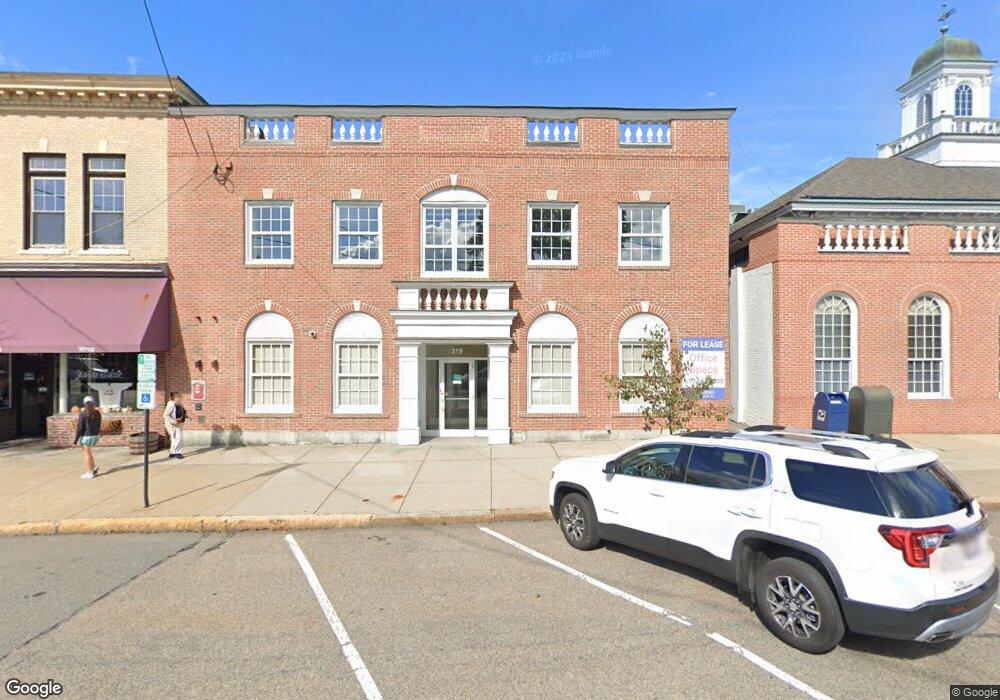
319 Auburn St Newton, MA 02466
Auburndale NeighborhoodEstimated Value: $2,371,016
--
Bed
1
Bath
5,300
Sq Ft
$447/Sq Ft
Est. Value
About This Home
This home is located at 319 Auburn St, Newton, MA 02466 and is currently estimated at $2,371,016, approximately $447 per square foot. 319 Auburn St is a home located in Middlesex County with nearby schools including C.C. Burr, F.A. Day Middle School, and Newton North High School.
Ownership History
Date
Name
Owned For
Owner Type
Purchase Details
Closed on
Aug 16, 2000
Sold by
Citizens Bk Of Mass
Bought by
Auburndale Coop Bk
Current Estimated Value
Purchase Details
Closed on
Dec 11, 1996
Sold by
Baybank Na
Bought by
Ustrust
Create a Home Valuation Report for This Property
The Home Valuation Report is an in-depth analysis detailing your home's value as well as a comparison with similar homes in the area
Home Values in the Area
Average Home Value in this Area
Purchase History
| Date | Buyer | Sale Price | Title Company |
|---|---|---|---|
| Auburndale Coop Bk | $761,000 | -- | |
| Ustrust | $92,756 | -- | |
| Ustrust | $92,756 | -- |
Source: Public Records
Tax History Compared to Growth
Tax History
| Year | Tax Paid | Tax Assessment Tax Assessment Total Assessment is a certain percentage of the fair market value that is determined by local assessors to be the total taxable value of land and additions on the property. | Land | Improvement |
|---|---|---|---|---|
| 2025 | $31,961 | $1,742,700 | $331,700 | $1,411,000 |
| 2024 | $31,944 | $1,742,700 | $331,700 | $1,411,000 |
| 2023 | $34,053 | $1,785,700 | $316,000 | $1,469,700 |
| 2022 | $34,316 | $1,720,100 | $316,000 | $1,404,100 |
| 2021 | $34,608 | $1,720,100 | $316,000 | $1,404,100 |
| 2020 | $34,264 | $1,720,100 | $316,000 | $1,404,100 |
| 2019 | $32,564 | $1,633,100 | $316,000 | $1,317,100 |
| 2018 | $29,487 | $1,430,000 | $287,300 | $1,142,700 |
| 2017 | $28,910 | $1,359,200 | $239,400 | $1,119,800 |
| 2016 | $29,821 | $1,359,200 | $239,400 | $1,119,800 |
| 2015 | $30,419 | $1,359,200 | $239,400 | $1,119,800 |
Source: Public Records
Map
Nearby Homes
- 283 Melrose St
- 2202 Commonwealth Ave Unit 2
- 2202 Commonwealth Ave Unit 1
- 226 Auburn St Unit 226
- 224 Auburn St Unit 224
- 224 Auburn St Unit A
- 17 Lasell St
- 62-64 Rowe St Unit B
- 13 Weir St
- 160 Pine St Unit 12
- 27 Oakwood Rd
- 49 Staniford St
- 17 Crescent St
- 283 Woodland Rd
- 51 Bourne St
- 10 Crescent St Unit 1
- 10 Crescent St Unit 2
- 17 Gilbert St
- 1639 Washington St
- 0 Duncan Rd Unit 72925240
- 318 Auburn St Unit A
- 303 Auburn St
- 100 Confidential Way
- 284 Melrose St
- 284 Melrose St Unit 2
- 284 Melrose St Unit C
- 284 Melrose St Unit B
- 284 Melrose St Unit A
- 284 Melrose St Unit 3
- 286 Melrose St Unit 2
- 280 Melrose St Unit 282
- 280 Melrose St Unit 280A
- 280 Melrose St Unit A
- 280 Melrose St Unit B
- 278 Melrose St
- 27 Melrose Ave Unit 29
- 27 Melrose Ave Unit 27
- 29 Melrose Ave
- 287 Auburn St
- 417 Lexington St