319 Bar Brock Trail Whitesboro, TX 76273
Estimated Value: $787,000 - $919,859
4
Beds
4
Baths
2,629
Sq Ft
$321/Sq Ft
Est. Value
About This Home
This home is located at 319 Bar Brock Trail, Whitesboro, TX 76273 and is currently estimated at $843,620, approximately $320 per square foot. 319 Bar Brock Trail is a home located in Cooke County with nearby schools including Callisburg Elementary School, Callisburg Middle School, and Callisburg High School.
Ownership History
Date
Name
Owned For
Owner Type
Purchase Details
Closed on
Dec 14, 2015
Sold by
Brock Amber Dawn and Brock Jason
Bought by
Steed Brad and Steed Alicia
Current Estimated Value
Home Financials for this Owner
Home Financials are based on the most recent Mortgage that was taken out on this home.
Original Mortgage
$40,000
Outstanding Balance
$32,694
Interest Rate
5%
Mortgage Type
Adjustable Rate Mortgage/ARM
Estimated Equity
$810,926
Purchase Details
Closed on
Jan 28, 2011
Sold by
Jones Arnold and Barkley Ed
Bought by
Brock Amber Dawn
Create a Home Valuation Report for This Property
The Home Valuation Report is an in-depth analysis detailing your home's value as well as a comparison with similar homes in the area
Home Values in the Area
Average Home Value in this Area
Purchase History
| Date | Buyer | Sale Price | Title Company |
|---|---|---|---|
| Steed Brad | -- | None Available | |
| Brock Amber Dawn | -- | -- |
Source: Public Records
Mortgage History
| Date | Status | Borrower | Loan Amount |
|---|---|---|---|
| Open | Steed Brad | $40,000 |
Source: Public Records
Tax History Compared to Growth
Tax History
| Year | Tax Paid | Tax Assessment Tax Assessment Total Assessment is a certain percentage of the fair market value that is determined by local assessors to be the total taxable value of land and additions on the property. | Land | Improvement |
|---|---|---|---|---|
| 2025 | $7,885 | $753,026 | $0 | $0 |
| 2024 | $7,885 | $684,569 | $0 | $0 |
| 2023 | $7,945 | $622,335 | $0 | $0 |
| 2022 | $8,392 | $785,080 | $316,000 | $469,080 |
| 2021 | $9,406 | $514,326 | $182,818 | $331,508 |
| 2020 | $9,532 | $489,106 | $182,818 | $306,288 |
| 2019 | $4,695 | $240,964 | $136,282 | $104,682 |
| 2018 | $1,144 | $58,423 | $57,850 | $573 |
| 2017 | $1,020 | $51,569 | $50,996 | $573 |
| 2015 | $988 | $51,266 | $50,693 | $573 |
| 2014 | $988 | $51,266 | $50,693 | $573 |
Source: Public Records
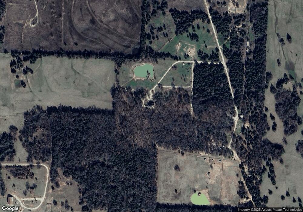
Map
Nearby Homes
- TBD Bar Brock Trail
- 0 Tbd County Road 113
- TBD Cr 113
- 239 County Road 118
- 247 County Road 156
- 210 County Road 1264
- 130 County Road 1264
- 000 County Road 1258
- 1619 County Rd 156
- TBD Cr-122
- 000 Farm To Market Road 2383
- 1304 County Road 115 Unit 12
- 1304 County Road 115
- TBD Annahill
- 2722 County Road 156
- 14279 Fm 678
- TBD1 County Rd 116
- TBD8 County Road 141
- 37.38 Farm To Market Road 678
- TBD Old Sherman Rd
- 439 Bar Brock Trail
- 439 Bar Brock Trail
- 35 Bar Brock Trail Unit Tract 2
- 35 Bar Brock Trail Unit Tract 1
- 35 Bar Brock Trail
- 690 County Road 120
- 908 County Road 118
- 808 County Road 118
- 81 County Road 118
- 13-ac County Road 118
- 1350 County Road 166
- 18131 Fm 678
- 427 County Road 118
- 389 County Road 118
- 56 County Road 118
- 79 County Road 118 Unit 5AC
- 79 County Road 118
- 90 County Road 118 Unit 41
- 90 County Road 118
- 331 County Road 118