319 Bethabara Rd Hayesville, NC 28904
Estimated Value: $173,504 - $262,000
3
Beds
4
Baths
1,034
Sq Ft
$218/Sq Ft
Est. Value
About This Home
This home is located at 319 Bethabara Rd, Hayesville, NC 28904 and is currently estimated at $225,376, approximately $217 per square foot. 319 Bethabara Rd is a home with nearby schools including Hayesville Elementary School, Hayesville Middle School, and Hayesville High School.
Ownership History
Date
Name
Owned For
Owner Type
Purchase Details
Closed on
May 13, 2013
Sold by
Hoffman Charles P and Hoffman Shelby R
Bought by
Hoffman Charles P and Hoffman Shelby R
Current Estimated Value
Purchase Details
Closed on
Apr 12, 2006
Sold by
United Community Bank
Bought by
Hoffman Charles P and Hoffman Shelby R
Home Financials for this Owner
Home Financials are based on the most recent Mortgage that was taken out on this home.
Original Mortgage
$25,000
Interest Rate
7.2%
Mortgage Type
Adjustable Rate Mortgage/ARM
Create a Home Valuation Report for This Property
The Home Valuation Report is an in-depth analysis detailing your home's value as well as a comparison with similar homes in the area
Home Values in the Area
Average Home Value in this Area
Purchase History
| Date | Buyer | Sale Price | Title Company |
|---|---|---|---|
| Hoffman Charles P | -- | None Available | |
| Hoffman Charles P | $50,000 | -- |
Source: Public Records
Mortgage History
| Date | Status | Borrower | Loan Amount |
|---|---|---|---|
| Closed | Hoffman Charles P | $25,000 |
Source: Public Records
Tax History
| Year | Tax Paid | Tax Assessment Tax Assessment Total Assessment is a certain percentage of the fair market value that is determined by local assessors to be the total taxable value of land and additions on the property. | Land | Improvement |
|---|---|---|---|---|
| 2025 | $264 | $69,900 | $24,800 | $45,100 |
| 2024 | $264 | $69,900 | $24,800 | $45,100 |
| 2023 | $164 | $69,900 | $24,800 | $45,100 |
| 2022 | $164 | $69,900 | $24,800 | $45,100 |
| 2021 | $164 | $69,900 | $24,800 | $45,100 |
| 2020 | $164 | $69,900 | $24,800 | $45,100 |
| 2019 | $164 | $69,900 | $24,800 | $45,100 |
| 2018 | $164 | $69,900 | $24,800 | $45,100 |
| 2016 | -- | $64,348 | $29,700 | $34,648 |
| 2015 | -- | $64,348 | $29,700 | $34,648 |
| 2014 | -- | $64,348 | $29,700 | $34,648 |
Source: Public Records
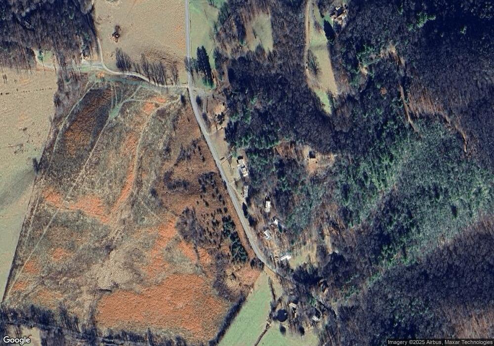
Map
Nearby Homes
- 9.12-AC Mission Hill Rd
- Lt4 Old Highway 64 E
- 00 Old Highway 64 E
- Lot 5 Old Highway 64 E
- 1 Gabriel Ridge
- 4 Gabriel Ridge
- Lot 58M Ridges Overlook
- 39M 40M Ridges Overlook
- Lot 37M Ridges Overlook
- 0 Bethabara View Unit 11
- 3 Gabriel Ridge
- 2 Gabriel Ridge
- 0000 Bethabara View
- 770 Geisky Creek Rd
- 136 W Vineyard Rd
- Lot 5J Eagle Fork Trail
- 33 Teaks Dr
- 16 Lois Ln
- 102 Hideaway Cove
- 78 Hideaway Cove
- 319 Bethelbara
- 291 Bethabara Rd
- 317 Bethabara Rd
- LT 5 Mission Hills Estate
- 29 Bethabara Trail
- 253 Bethabara Rd
- 289 Bethabara Rd
- 287 Bethabara Rd
- 110 Bethabara Trail
- 189 Bethabara Rd
- 520 Bethabara Rd
- Lot 1 Mission Hills Estate
- 545 Bethabara Rd
- 423 Mission Hill Rd
- 182 Clays Trail
- 206 Bethabara Loop
- 631 Bethabara Rd
- 206 Bethabara Loop
- 62 Bethabara Rd
- 314 Mission Hill Rd
Your Personal Tour Guide
Ask me questions while you tour the home.