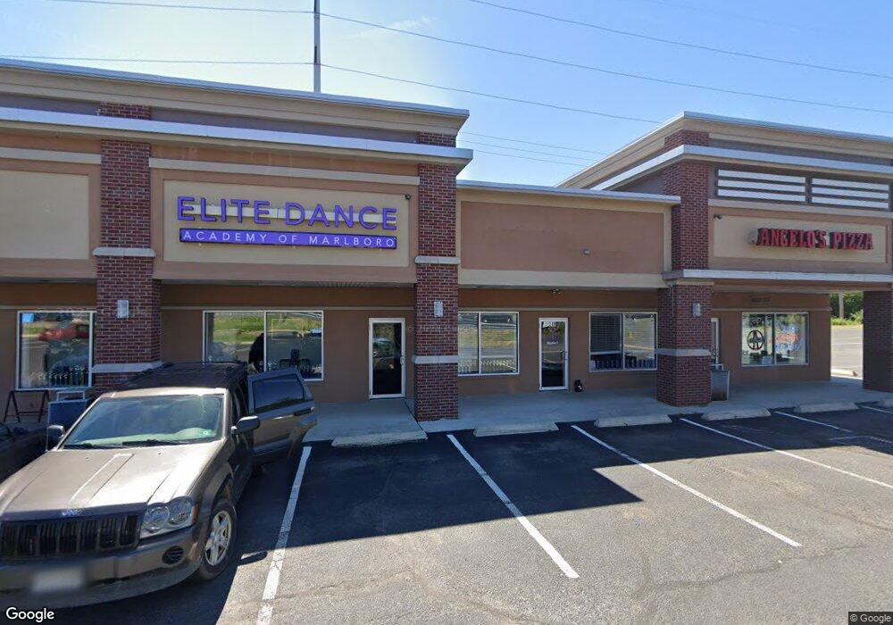
319 Broad St Unit B Matawan, NJ 07747
--
Bed
--
Bath
12,760
Sq Ft
1.77
Acres
About This Home
This home is located at 319 Broad St Unit B, Matawan, NJ 07747. 319 Broad St Unit B is a home located in Monmouth County with nearby schools including Matawan Reg High School, Matawan Montessori Academy, and St. Joseph Elementary School.
Ownership History
Date
Name
Owned For
Owner Type
Purchase Details
Closed on
Oct 3, 2019
Sold by
Laurdan Realty Llc
Bought by
347 Main Street Rc Llc and 347 Main Street Mc Llc
Home Financials for this Owner
Home Financials are based on the most recent Mortgage that was taken out on this home.
Original Mortgage
$1,950,000
Outstanding Balance
$1,704,783
Interest Rate
3.4%
Mortgage Type
Commercial
Purchase Details
Closed on
Jan 16, 2009
Sold by
Laurdan Realty
Bought by
Laurdan Realty Llc
Create a Home Valuation Report for This Property
The Home Valuation Report is an in-depth analysis detailing your home's value as well as a comparison with similar homes in the area
Home Values in the Area
Average Home Value in this Area
Purchase History
| Date | Buyer | Sale Price | Title Company |
|---|---|---|---|
| 347 Main Street Rc Llc | $3,300,000 | Two Rivers Title Company Llc | |
| Laurdan Realty Llc | -- | Coastal Title Agency Inc |
Source: Public Records
Mortgage History
| Date | Status | Borrower | Loan Amount |
|---|---|---|---|
| Open | 347 Main Street Rc Llc | $1,950,000 |
Source: Public Records
Tax History Compared to Growth
Tax History
| Year | Tax Paid | Tax Assessment Tax Assessment Total Assessment is a certain percentage of the fair market value that is determined by local assessors to be the total taxable value of land and additions on the property. | Land | Improvement |
|---|---|---|---|---|
| 2025 | $63,765 | $3,184,300 | $1,241,500 | $1,942,800 |
| 2024 | $63,503 | $2,921,000 | $1,241,500 | $1,679,500 |
| 2023 | $63,503 | $2,921,000 | $1,241,500 | $1,679,500 |
| 2022 | $67,496 | $2,871,000 | $1,191,500 | $1,679,500 |
| 2021 | $50,740 | $2,484,200 | $1,181,500 | $1,302,700 |
| 2020 | $67,968 | $2,484,200 | $1,181,500 | $1,302,700 |
| 2019 | $56,833 | $2,081,800 | $1,181,500 | $900,300 |
| 2018 | $57,770 | $2,081,800 | $1,181,500 | $900,300 |
| 2017 | $58,603 | $2,081,800 | $1,181,500 | $900,300 |
| 2016 | $57,374 | $2,081,800 | $1,181,500 | $900,300 |
| 2015 | $56,937 | $2,081,800 | $1,181,500 | $900,300 |
| 2014 | $56,729 | $2,081,800 | $1,181,500 | $900,300 |
Source: Public Records
Map
Nearby Homes
- 8 Sutphin Ave
- 3 Sutphin Ave
- 320 Main St
- 14 New Brunswick Ave
- 284 Broad St
- 326 Sloan Ct Unit 326
- 7 Sunset Ave
- 532 Sloan Ct Unit 532
- 258 Jackson St
- 119 Freneau Ave
- 12 S Atlantic Ave Unit 14
- 10 Somerset Place
- 160 Freneau Ave
- 537 S Atlantic Ave
- 10 7th St
- 5 7th St
- 111 Courtland Ln
- 3 Magnolia Ct
- 32 Lake Blvd
- 30 Oxford Ln