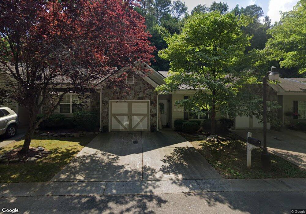
319 Brookside Way Canton, GA 30114
New Town NeighborhoodEstimated Value: $259,729 - $285,000
2
Beds
2
Baths
1,070
Sq Ft
$255/Sq Ft
Est. Value
About This Home
This home is located at 319 Brookside Way, Canton, GA 30114 and is currently estimated at $272,365, approximately $254 per square foot. 319 Brookside Way is a home located in Cherokee County with nearby schools including R. M. Moore Elementary School, Teasley Middle School, and Cherokee High School.
Ownership History
Date
Name
Owned For
Owner Type
Purchase Details
Closed on
Jul 1, 2013
Sold by
Knowles Harford E
Bought by
Knowles Bradford C
Current Estimated Value
Purchase Details
Closed on
Nov 20, 2012
Sold by
Knowles Bradford C
Bought by
Knowles Harford E
Purchase Details
Closed on
Oct 15, 2010
Sold by
Stegall Peggy
Bought by
Knowles Harford E and Knowles Bradford C
Purchase Details
Closed on
Nov 28, 2007
Sold by
Brookside Holdings Llc
Bought by
Stegall Peggy
Home Financials for this Owner
Home Financials are based on the most recent Mortgage that was taken out on this home.
Original Mortgage
$80,000
Interest Rate
6.36%
Mortgage Type
New Conventional
Create a Home Valuation Report for This Property
The Home Valuation Report is an in-depth analysis detailing your home's value as well as a comparison with similar homes in the area
Home Values in the Area
Average Home Value in this Area
Purchase History
| Date | Buyer | Sale Price | Title Company |
|---|---|---|---|
| Knowles Bradford C | -- | -- | |
| Knowles Harford E | -- | -- | |
| Knowles Harford E | $95,000 | -- | |
| Stegall Peggy | $108,000 | -- |
Source: Public Records
Mortgage History
| Date | Status | Borrower | Loan Amount |
|---|---|---|---|
| Previous Owner | Stegall Peggy | $80,000 |
Source: Public Records
Tax History Compared to Growth
Tax History
| Year | Tax Paid | Tax Assessment Tax Assessment Total Assessment is a certain percentage of the fair market value that is determined by local assessors to be the total taxable value of land and additions on the property. | Land | Improvement |
|---|---|---|---|---|
| 2024 | $168 | $94,008 | $18,000 | $76,008 |
| 2023 | $78 | $94,060 | $18,000 | $76,060 |
| 2022 | $162 | $66,832 | $9,600 | $57,232 |
| 2021 | $170 | $57,484 | $9,600 | $47,884 |
| 2020 | $170 | $55,416 | $9,600 | $45,816 |
| 2019 | $169 | $49,840 | $9,600 | $40,240 |
| 2018 | $172 | $46,480 | $8,000 | $38,480 |
| 2017 | $177 | $108,600 | $8,000 | $35,440 |
| 2016 | $182 | $102,300 | $8,000 | $32,920 |
| 2015 | $954 | $81,900 | $5,600 | $27,160 |
| 2014 | $941 | $79,400 | $5,600 | $26,160 |
Source: Public Records
Map
Nearby Homes
- 220 Riverstone Place
- 257 Riverstone Place Unit 55
- 619 Elmwood St
- 213 Riverstone Commons Cir
- 621 Elmwood St
- 6 Lots Riverstone Commons Cir
- 540 Hospital Rd
- 700 Hospital Rd
- 61 Daisy Cir
- 100 Daisy Cir
- 70 Daisy Cir
- 80 Daisy Cir
- 560 Waleska Rd
- 550 Waleska Rd
- 131 Riverwatch Ct
- 0 Lake St Unit 10599928
- 0 Lake St Unit 7637074
- 319 Brookside Way Unit 319
- 317 Brookside Way
- 315 Brookside Way
- 323 Brookside Way
- 325 Brookside Way
- 327 Brookside Way
- 329 Brookside Way
- 311 Brookside Way
- 311 Brookside Way Unit 311
- 311 Brookside Way
- 0 Brookside Way
- 205 Riverstone Place Unit 84
- 205 Riverstone Place Unit 1
- 307 Brookside Way
- 307 Brookside Way Unit 307
- 540 Lakeview Dr Unit 2
- 309 Brookside Way
- 530 Lakeview Dr
- 305 Brookside Way
- 305 Brookside Way Unit 305