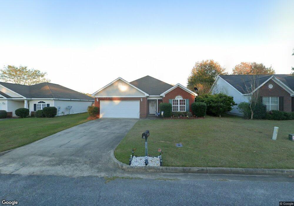
319 Brushfire Dr Dothan, AL 36305
Estimated Value: $197,451 - $238,000
3
Beds
2
Baths
1,382
Sq Ft
$155/Sq Ft
Est. Value
About This Home
This home is located at 319 Brushfire Dr, Dothan, AL 36305 and is currently estimated at $214,613, approximately $155 per square foot. 319 Brushfire Dr is a home located in Houston County with nearby schools including Dothan City Early Education Center, Heard Elementary School, and Dothan Preparatory Academy.
Ownership History
Date
Name
Owned For
Owner Type
Purchase Details
Closed on
Sep 13, 2013
Sold by
Kevin Lee Kevin Lee and Duenow Joyce Nagel
Bought by
Deunow Kevin Lee
Current Estimated Value
Home Financials for this Owner
Home Financials are based on the most recent Mortgage that was taken out on this home.
Original Mortgage
$113,650
Outstanding Balance
$83,998
Interest Rate
4.39%
Mortgage Type
Purchase Money Mortgage
Estimated Equity
$130,615
Create a Home Valuation Report for This Property
The Home Valuation Report is an in-depth analysis detailing your home's value as well as a comparison with similar homes in the area
Purchase History
| Date | Buyer | Sale Price | Title Company |
|---|---|---|---|
| Deunow Kevin Lee | $125,900 | -- |
Source: Public Records
Mortgage History
| Date | Status | Borrower | Loan Amount |
|---|---|---|---|
| Open | Deunow Kevin Lee | $113,650 |
Source: Public Records
Tax History
| Year | Tax Paid | Tax Assessment Tax Assessment Total Assessment is a certain percentage of the fair market value that is determined by local assessors to be the total taxable value of land and additions on the property. | Land | Improvement |
|---|---|---|---|---|
| 2025 | $1,218 | $33,820 | $0 | $0 |
| 2024 | $1,218 | $34,060 | $0 | $0 |
| 2023 | $1,226 | $31,440 | $0 | $0 |
| 2022 | $961 | $27,860 | $0 | $0 |
| 2021 | $899 | $27,420 | $0 | $0 |
| 2020 | $845 | $24,500 | $0 | $0 |
| 2019 | $825 | $23,920 | $0 | $0 |
| 2018 | $805 | $23,340 | $0 | $0 |
| 2017 | $835 | $24,200 | $0 | $0 |
| 2016 | $835 | $0 | $0 | $0 |
| 2015 | $835 | $0 | $0 | $0 |
| 2014 | $835 | $0 | $0 | $0 |
Source: Public Records
Map
Nearby Homes
- 219 Brushfire Dr
- 106 Pinewood Ln
- 4831 Fortner St
- 105 Christen Ln
- 126 Laney Ln
- 117 Laney Ln
- 124 Laney Ln
- 115 Laney Ln
- 113 Laney Ln
- 120 Laney Ln
- 211 Paul Revere Run
- 209 Rylee Rd
- 210 Rylee Rd
- 3002 Nottingham Way
- 102 Rylee Rd
- 0 Willow Point Lots Unit 210106
- 118 Moultrie Dr
- 106 Pageland Rd
- 906 Wimbledon Dr
- 1052 Trawick Rd
- 321 Brushfire Dr
- 317 Brushfire Dr
- 315 Brushfire Dr
- 323 Brushfire Dr
- 116 Smoke Rise Ct
- 118 Smoke Rise Ct
- 114 Smoke Rise Ct
- 325 Brushfire Dr
- 313 Brushfire Dr
- 112 Smoke Rise Ct
- 322 Brushfire Dr
- 320 Brushfire Dr
- 324 Brushfire Dr
- 318 Brushfire Dr
- 110 Smoke Rise Ct
- 120 Smoke Rise Ct
- 311 Brushfire Dr
- 316 Brushfire Dr
- 328 Brushfire Dr
- 327 Brushfire Dr
Your Personal Tour Guide
Ask me questions while you tour the home.