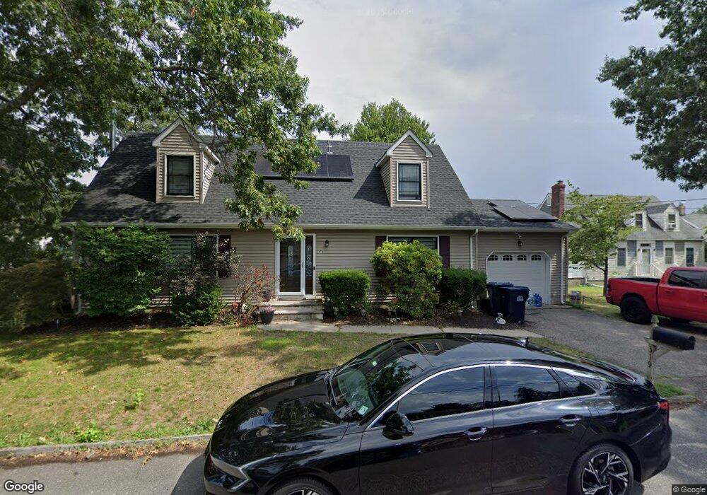
319 Cable Ave Beachwood, NJ 08722
Estimated Value: $467,000 - $503,000
3
Beds
2
Baths
1,584
Sq Ft
$302/Sq Ft
Est. Value
About This Home
This home is located at 319 Cable Ave, Beachwood, NJ 08722 and is currently estimated at $478,118, approximately $301 per square foot. 319 Cable Ave is a home located in Ocean County with nearby schools including Ocean Academy and Ambassador Christian Academy.
Ownership History
Date
Name
Owned For
Owner Type
Purchase Details
Closed on
Feb 7, 2022
Sold by
Cirz Anthony and Cirz Jennifer
Bought by
Cirz Jennifer
Current Estimated Value
Home Financials for this Owner
Home Financials are based on the most recent Mortgage that was taken out on this home.
Original Mortgage
$293,040
Interest Rate
3.76%
Mortgage Type
FHA
Purchase Details
Closed on
Mar 6, 1998
Sold by
Defrancesco Gerard and Defrancesco Christina
Bought by
Cirz Anthony and Cirz Jennifer
Home Financials for this Owner
Home Financials are based on the most recent Mortgage that was taken out on this home.
Original Mortgage
$122,802
Interest Rate
7.03%
Purchase Details
Closed on
Apr 28, 1994
Sold by
C&G Const Co
Bought by
Defrancesco Gerald and Defrancesco Christina
Home Financials for this Owner
Home Financials are based on the most recent Mortgage that was taken out on this home.
Original Mortgage
$110,000
Interest Rate
8.44%
Create a Home Valuation Report for This Property
The Home Valuation Report is an in-depth analysis detailing your home's value as well as a comparison with similar homes in the area
Home Values in the Area
Average Home Value in this Area
Purchase History
| Date | Buyer | Sale Price | Title Company |
|---|---|---|---|
| Cirz Jennifer | -- | None Listed On Document | |
| Cirz Anthony | $122,900 | First American Title Ins Co | |
| Defrancesco Gerald | $116,000 | -- |
Source: Public Records
Mortgage History
| Date | Status | Borrower | Loan Amount |
|---|---|---|---|
| Previous Owner | Cirz Jennifer | $293,040 | |
| Previous Owner | Cirz Anthony | $122,802 | |
| Previous Owner | Defrancesco Gerald | $110,000 |
Source: Public Records
Tax History Compared to Growth
Tax History
| Year | Tax Paid | Tax Assessment Tax Assessment Total Assessment is a certain percentage of the fair market value that is determined by local assessors to be the total taxable value of land and additions on the property. | Land | Improvement |
|---|---|---|---|---|
| 2025 | $5,837 | $201,000 | $75,000 | $126,000 |
| 2024 | $5,509 | $201,000 | $75,000 | $126,000 |
| 2023 | $5,318 | $201,000 | $75,000 | $126,000 |
| 2022 | $5,318 | $201,000 | $75,000 | $126,000 |
| 2021 | $5,158 | $201,000 | $75,000 | $126,000 |
| 2020 | $5,087 | $201,000 | $75,000 | $126,000 |
| 2019 | $4,854 | $201,000 | $75,000 | $126,000 |
| 2018 | $4,814 | $201,000 | $75,000 | $126,000 |
| 2017 | $4,726 | $201,000 | $75,000 | $126,000 |
| 2016 | $4,687 | $201,000 | $75,000 | $126,000 |
| 2015 | $4,711 | $257,300 | $127,000 | $130,300 |
| 2014 | $4,588 | $257,300 | $127,000 | $130,300 |
Source: Public Records
Map
Nearby Homes
- 400 Anchor Ave
- 453 Cable Ave
- 236 Longboat Ave
- 65 Shell St
- 63 Railroad Ave
- 208 Longboat Ave
- 240 Beachwood Blvd
- 200 Pacific Ave
- 553 Mermaid Ave
- 616 Cable Ave
- 553 Ship Ave
- 501 Spray Ave
- 145 Spray Ave
- 224 Tiller Ave
- 352 Halliard Ave
- 645 Beachwood Blvd
- 539 Mizzen Ave
- 641 Ship Ave
- 238 Ensign Ave
- 352 Surf Ave