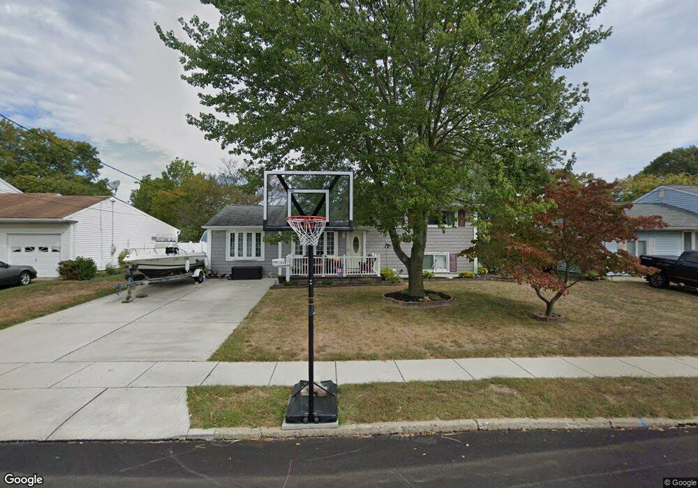
319 Carnegie Ave Wenonah, NJ 08090
Deptford Township NeighborhoodEstimated Value: $338,736 - $401,000
--
Bed
--
Bath
2,360
Sq Ft
$161/Sq Ft
Est. Value
About This Home
This home is located at 319 Carnegie Ave, Wenonah, NJ 08090 and is currently estimated at $379,934, approximately $160 per square foot. 319 Carnegie Ave is a home located in Gloucester County with nearby schools including Deptford Township High School and St Margaret Regional School.
Ownership History
Date
Name
Owned For
Owner Type
Purchase Details
Closed on
Aug 29, 2006
Sold by
Hagerty Diana Sue
Bought by
Bailey Tony A and Bailey Kimberly S
Current Estimated Value
Create a Home Valuation Report for This Property
The Home Valuation Report is an in-depth analysis detailing your home's value as well as a comparison with similar homes in the area
Home Values in the Area
Average Home Value in this Area
Purchase History
| Date | Buyer | Sale Price | Title Company |
|---|---|---|---|
| Bailey Tony A | $187,500 | -- |
Source: Public Records
Tax History Compared to Growth
Tax History
| Year | Tax Paid | Tax Assessment Tax Assessment Total Assessment is a certain percentage of the fair market value that is determined by local assessors to be the total taxable value of land and additions on the property. | Land | Improvement |
|---|---|---|---|---|
| 2025 | $7,353 | $205,100 | $38,900 | $166,200 |
| 2024 | $7,117 | $205,100 | $38,900 | $166,200 |
| 2023 | $7,117 | $205,100 | $38,900 | $166,200 |
| 2022 | $7,066 | $205,100 | $38,900 | $166,200 |
| 2021 | $6,965 | $205,100 | $38,900 | $166,200 |
| 2020 | $6,885 | $205,100 | $38,900 | $166,200 |
| 2019 | $6,754 | $205,100 | $38,900 | $166,200 |
| 2018 | $6,602 | $205,100 | $38,900 | $166,200 |
| 2017 | $6,426 | $205,100 | $38,900 | $166,200 |
| 2016 | $6,295 | $205,100 | $38,900 | $166,200 |
| 2015 | $6,100 | $205,100 | $38,900 | $166,200 |
| 2014 | $5,942 | $205,100 | $38,900 | $166,200 |
Source: Public Records
Map
Nearby Homes
- 315 Ogden Station Rd
- 313 Ogden Station Rd
- 711 Howard Ave
- 916 Georgetown Rd
- 100 Buddy Powell Ln
- 114 Buddy Powell Ln
- 7 Manchester Ct
- 1 W Buttonwood St
- 8 W Buttonwood St
- 748 Dartmouth Dr
- 505 University Blvd
- 505 W Mantua Ave
- 125 Ivy Ln
- 629 Vassar Rd
- 477 Bucknell Ave
- 206 E Elm St
- 3 E Mantua Ave
- 136 Vanderbilt Ave
- 111 Cove Rd
- 441 Bucknell Ave
- 321 Carnegie Ave
- 317 Carnegie Ave
- 320 Harvard Ave
- 318 Harvard Ave
- 323 Carnegie Ave
- 315 Carnegie Ave
- 324 Harvard Ave
- 316 Harvard Ave
- 318 Carnegie Ave
- 316 Carnegie Ave
- 320 Carnegie Ave
- 327 Carnegie Ave
- 311 Carnegie Ave
- 314 Harvard Ave
- 314 Carnegie Ave
- 322 Carnegie Ave
- 332 Harvard Ave
- 310 Harvard Ave
- 324 Carnegie Ave
- 331 Carnegie Ave