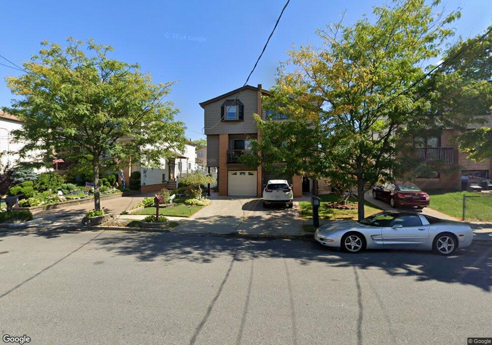
319 Colon Ave Staten Island, NY 10308
Great Kills NeighborhoodEstimated Value: $638,367 - $777,000
--
Bed
4
Baths
1,440
Sq Ft
$496/Sq Ft
Est. Value
About This Home
This home is located at 319 Colon Ave, Staten Island, NY 10308 and is currently estimated at $714,342, approximately $496 per square foot. 319 Colon Ave is a home located in Richmond County with nearby schools including P.S. 32 The Gifford School, I.S. 075 Frank D. Paulo, and Susan E Wagner High School.
Ownership History
Date
Name
Owned For
Owner Type
Purchase Details
Closed on
Sep 16, 1998
Sold by
Fong Mark Howard K C and Fong Mark Lai
Bought by
Fenyes Rothberger Mark and Fenyes Rothberger Helen
Current Estimated Value
Home Financials for this Owner
Home Financials are based on the most recent Mortgage that was taken out on this home.
Original Mortgage
$163,800
Interest Rate
6.68%
Create a Home Valuation Report for This Property
The Home Valuation Report is an in-depth analysis detailing your home's value as well as a comparison with similar homes in the area
Home Values in the Area
Average Home Value in this Area
Purchase History
| Date | Buyer | Sale Price | Title Company |
|---|---|---|---|
| Fenyes Rothberger Mark | $182,000 | Fidelity National Title |
Source: Public Records
Mortgage History
| Date | Status | Borrower | Loan Amount |
|---|---|---|---|
| Previous Owner | Fenyes Rothberger Mark | $163,800 |
Source: Public Records
Tax History Compared to Growth
Tax History
| Year | Tax Paid | Tax Assessment Tax Assessment Total Assessment is a certain percentage of the fair market value that is determined by local assessors to be the total taxable value of land and additions on the property. | Land | Improvement |
|---|---|---|---|---|
| 2025 | $6,608 | $39,060 | $6,747 | $32,313 |
| 2024 | $6,044 | $36,900 | $6,916 | $29,984 |
| 2023 | $6,366 | $32,746 | $6,106 | $26,640 |
| 2022 | $5,980 | $37,380 | $7,440 | $29,940 |
| 2021 | $6,282 | $34,680 | $7,440 | $27,240 |
| 2020 | $5,953 | $32,400 | $7,440 | $24,960 |
| 2019 | $5,687 | $31,320 | $7,440 | $23,880 |
| 2018 | $5,265 | $27,288 | $6,863 | $20,425 |
| 2017 | $5,033 | $26,160 | $7,440 | $18,720 |
| 2016 | $4,903 | $26,076 | $7,416 | $18,660 |
| 2015 | $4,266 | $24,600 | $6,180 | $18,420 |
| 2014 | $4,266 | $23,820 | $6,180 | $17,640 |
Source: Public Records
Map
Nearby Homes
- 345 Colon Ave
- 259 Brookfield Ave
- 307 Abingdon Ave
- 271 Doane Ave
- 185 Brookfield Ave
- 339 Abingdon Ave
- 248 Abingdon Ave
- 223 Abingdon Ave
- 414 Elverton Ave
- 72 Eric Ln
- 200 Giffords Ln
- 63 Genesee Ave
- 919 Armstrong Ave
- 350 Brookfield Ave
- 26 E Brandis Ave
- 151 Abingdon Ave
- 466 Doane Ave
- 168 Leverett Ave
- 379 Brookfield Ave
- 924 Armstrong Ave Unit 2-3