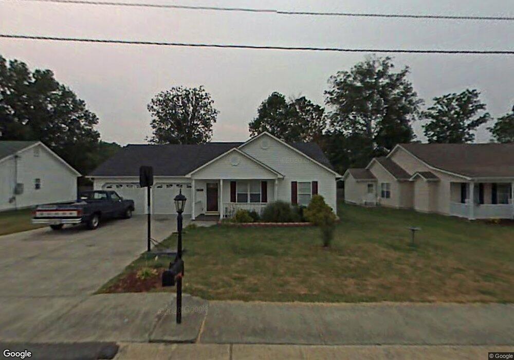
319 Colony Cir Fort Oglethorpe, GA 30742
Estimated Value: $248,000 - $279,000
3
Beds
2
Baths
1,770
Sq Ft
$147/Sq Ft
Est. Value
About This Home
This home is located at 319 Colony Cir, Fort Oglethorpe, GA 30742 and is currently estimated at $259,583, approximately $146 per square foot. 319 Colony Cir is a home located in Catoosa County with nearby schools including Cloud Springs Elementary School, Lakeview Middle School, and Lakeview-Fort Oglethorpe High School.
Ownership History
Date
Name
Owned For
Owner Type
Purchase Details
Closed on
Oct 19, 2011
Sold by
Blevins Marsha J
Bought by
Blevins Marsha J
Current Estimated Value
Purchase Details
Closed on
Jun 13, 2011
Sold by
Accredited Reo Properties Llc
Bought by
Blevins Marsha J
Purchase Details
Closed on
Apr 6, 2010
Sold by
Goswick David
Bought by
Deutsche Bank National C
Purchase Details
Closed on
Mar 21, 2000
Bought by
Goswick David
Create a Home Valuation Report for This Property
The Home Valuation Report is an in-depth analysis detailing your home's value as well as a comparison with similar homes in the area
Home Values in the Area
Average Home Value in this Area
Purchase History
| Date | Buyer | Sale Price | Title Company |
|---|---|---|---|
| Blevins Marsha J | -- | -- | |
| Blevins Marsha J | -- | -- | |
| Blevins Marsha J | $92,000 | -- | |
| Accredited Reo Properties Llc | $92,000 | -- | |
| Deutsche Bank National C | $73,793 | -- | |
| Goswick David | $95,000 | -- |
Source: Public Records
Tax History Compared to Growth
Tax History
| Year | Tax Paid | Tax Assessment Tax Assessment Total Assessment is a certain percentage of the fair market value that is determined by local assessors to be the total taxable value of land and additions on the property. | Land | Improvement |
|---|---|---|---|---|
| 2024 | $1,912 | $72,671 | $11,000 | $61,671 |
| 2023 | $1,515 | $57,574 | $11,000 | $46,574 |
| 2022 | $1,286 | $45,780 | $11,000 | $34,780 |
| 2021 | $1,219 | $45,780 | $11,000 | $34,780 |
| 2020 | $1,222 | $41,385 | $11,000 | $30,385 |
| 2019 | $1,175 | $39,385 | $9,000 | $30,385 |
| 2018 | $1,234 | $39,385 | $9,000 | $30,385 |
| 2017 | $1,152 | $36,766 | $7,200 | $29,566 |
| 2016 | $1,135 | $34,662 | $7,200 | $27,462 |
| 2015 | -- | $34,662 | $7,200 | $27,462 |
| 2014 | -- | $34,662 | $7,200 | $27,462 |
| 2013 | -- | $33,275 | $6,912 | $26,363 |
Source: Public Records
Map
Nearby Homes
- 124 Colony Cir
- 351 Franklin Cir
- 183 McDonald Dr
- 180 Gem Dr
- 17 Southshore Dr
- 6 Rocky Ford Rd
- 1002 Cedar Creek Dr
- 66 Yellow Brick Rd
- 15 Evelyn Dr
- 64 Yellow Brick Rd
- 1305 Park Forrest Dr
- 544 Neal Dr
- 504 Frieda Dr
- 17 Evergreen Cir
- 239 Flagstone Dr
- 129 Cedar Grove Ln
- 344 Flagstone Dr
- 18 Evergreen Cir
- 14 Evergreen Cir
- 72 Anchor Dr
- 333 Colony Cir
- 307 Colony Cir
- 214 Austin Cir
- 347 Colony Cir
- 1904 Colony Cir
- 285 Colony Cir
- 14 Spring Place Dr
- 340 Colony Cir
- 232 Austin Cir
- 361 Colony Cir
- 22 Spring Place Dr
- 192 Austin Cir
- 195 Austin Cir
- 358 Colony Cir
- 373 Colony Cir
- 34 Spring Place Dr
- 358 Linda Ln
- 43 Spring Place Dr
- 372 Colony Cir
- 47 Spring Place Dr