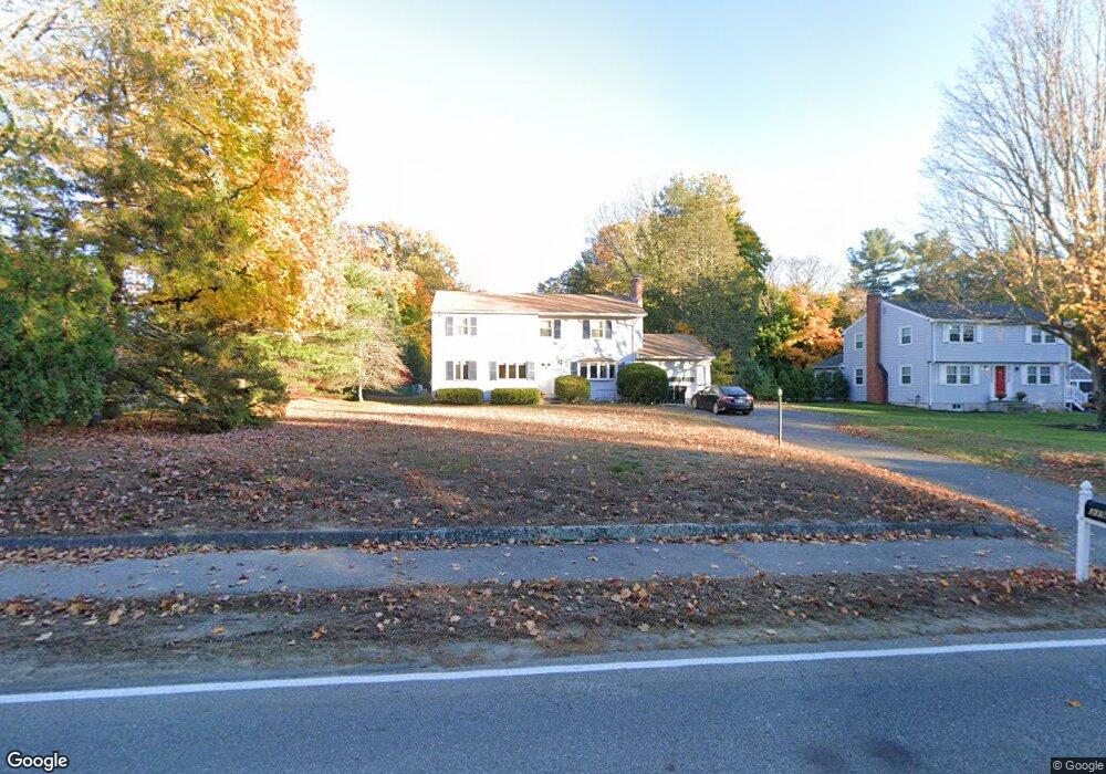
319 Concord Rd Wayland, MA 01778
Estimated Value: $977,515 - $1,114,000
4
Beds
2
Baths
2,192
Sq Ft
$477/Sq Ft
Est. Value
About This Home
This home is located at 319 Concord Rd, Wayland, MA 01778 and is currently estimated at $1,045,129, approximately $476 per square foot. 319 Concord Rd is a home located in Middlesex County with nearby schools including Wayland High School, Corwin-Russell School At Broccoli Hall, and Willow Hill School.
Ownership History
Date
Name
Owned For
Owner Type
Purchase Details
Closed on
Sep 13, 2013
Sold by
Picariello Mark C and Picariello Sabrina
Bought by
Picariello Mark C
Current Estimated Value
Purchase Details
Closed on
Sep 30, 2011
Sold by
Song Leijun and Wang Yihong
Bought by
Picariello Mark C
Home Financials for this Owner
Home Financials are based on the most recent Mortgage that was taken out on this home.
Original Mortgage
$393,750
Interest Rate
3.38%
Mortgage Type
Purchase Money Mortgage
Purchase Details
Closed on
Apr 15, 2004
Sold by
Cotoni Joseph D and Cotoni Sandra L
Bought by
Song Leijun
Create a Home Valuation Report for This Property
The Home Valuation Report is an in-depth analysis detailing your home's value as well as a comparison with similar homes in the area
Home Values in the Area
Average Home Value in this Area
Purchase History
| Date | Buyer | Sale Price | Title Company |
|---|---|---|---|
| Picariello Mark C | -- | -- | |
| Picariello Mark C | $437,500 | -- | |
| Song Leijun | $522,500 | -- | |
| Picariello Mark C | -- | -- | |
| Picariello Mark C | $437,500 | -- | |
| Song Leijun | $522,500 | -- |
Source: Public Records
Mortgage History
| Date | Status | Borrower | Loan Amount |
|---|---|---|---|
| Previous Owner | Picariello Mark C | $393,750 |
Source: Public Records
Tax History
| Year | Tax Paid | Tax Assessment Tax Assessment Total Assessment is a certain percentage of the fair market value that is determined by local assessors to be the total taxable value of land and additions on the property. | Land | Improvement |
|---|---|---|---|---|
| 2025 | $11,794 | $754,600 | $487,500 | $267,100 |
| 2024 | $11,165 | $719,400 | $464,400 | $255,000 |
| 2023 | $10,603 | $636,800 | $422,200 | $214,600 |
| 2022 | $10,148 | $553,000 | $349,500 | $203,500 |
| 2021 | $9,786 | $528,400 | $324,900 | $203,500 |
| 2020 | $9,384 | $528,400 | $324,900 | $203,500 |
| 2019 | $9,440 | $516,400 | $309,500 | $206,900 |
| 2018 | $6,487 | $497,500 | $309,500 | $188,000 |
| 2017 | $8,653 | $477,000 | $294,900 | $182,100 |
| 2016 | $8,041 | $463,700 | $289,100 | $174,600 |
| 2015 | $8,281 | $450,300 | $289,100 | $161,200 |
Source: Public Records
Map
Nearby Homes
- 260 Lincoln Rd
- 291 Concord Rd
- 93 Old Sudbury Rd
- 55 Sherman's Bridge Rd
- 16 Hampshire Rd
- 20 Hickory Hill Rd
- 4 Peartree Ln
- 70 Todd Pond Rd
- 448 & 454 Concord Rd
- 32 Highland Cir
- 101 Draper Rd
- 127 Glezen Ln
- 63 Sudbury Rd
- 130 Tower Rd
- 44 Baker Bridge Rd
- 46 Blackburnian Rd
- 156 Cherry Brook Rd
- 6 Clifford Ln
- 302 Concord Rd
- 1B Quaboag Valley Co-Op St
Your Personal Tour Guide
Ask me questions while you tour the home.