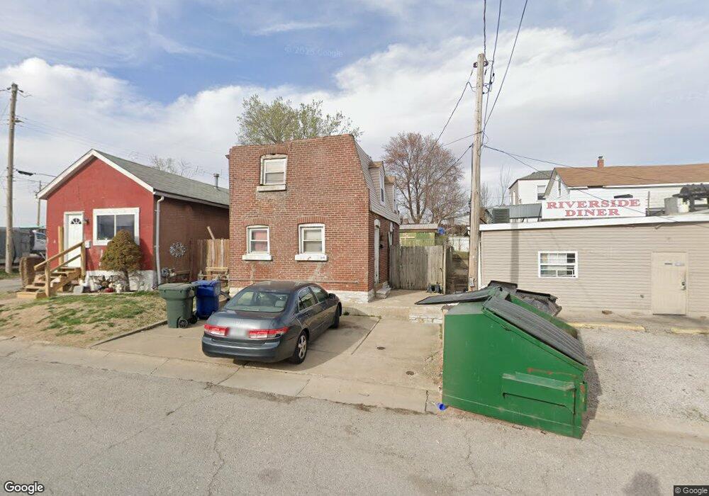
319 E Davis St Saint Louis, MO 63111
Patch NeighborhoodEstimated Value: $57,829 - $123,000
2
Beds
1
Bath
824
Sq Ft
$104/Sq Ft
Est. Value
About This Home
This home is located at 319 E Davis St, Saint Louis, MO 63111 and is currently estimated at $85,957, approximately $104 per square foot. 319 E Davis St is a home located in St. Louis City with nearby schools including Lyon at Blow Elementary School, Woerner Elementary School, and Roosevelt High School.
Ownership History
Date
Name
Owned For
Owner Type
Purchase Details
Closed on
Sep 21, 2011
Sold by
Federal Home Loan Mortgage Corporation
Bought by
Burnett Jay and Burnett Sandy
Current Estimated Value
Purchase Details
Closed on
May 31, 2006
Sold by
Humbolt James R and Humbolt Desiree R
Bought by
Eifert James
Home Financials for this Owner
Home Financials are based on the most recent Mortgage that was taken out on this home.
Original Mortgage
$25,000
Interest Rate
6.56%
Mortgage Type
Fannie Mae Freddie Mac
Purchase Details
Closed on
Nov 28, 2000
Sold by
L Dossinger William F, Lettie A
Bought by
Humbolt James R and Humbolt Desiree R
Create a Home Valuation Report for This Property
The Home Valuation Report is an in-depth analysis detailing your home's value as well as a comparison with similar homes in the area
Home Values in the Area
Average Home Value in this Area
Purchase History
| Date | Buyer | Sale Price | Title Company |
|---|---|---|---|
| Burnett Jay | -- | Ctc | |
| Eifert James | -- | None Available | |
| Humbolt James R | -- | -- |
Source: Public Records
Mortgage History
| Date | Status | Borrower | Loan Amount |
|---|---|---|---|
| Previous Owner | Eifert James | $25,000 |
Source: Public Records
Tax History
| Year | Tax Paid | Tax Assessment Tax Assessment Total Assessment is a certain percentage of the fair market value that is determined by local assessors to be the total taxable value of land and additions on the property. | Land | Improvement |
|---|---|---|---|---|
| 2025 | $175 | $3,850 | $440 | $3,410 |
| 2024 | $162 | $1,750 | $440 | $1,310 |
| 2023 | $162 | $1,750 | $440 | $1,310 |
| 2022 | $162 | $1,620 | $440 | $1,180 |
| 2021 | $162 | $1,620 | $440 | $1,180 |
| 2020 | $156 | $1,560 | $440 | $1,120 |
| 2019 | $155 | $1,560 | $440 | $1,120 |
| 2018 | $147 | $1,410 | $440 | $970 |
| 2017 | $145 | $1,410 | $440 | $970 |
| 2016 | $146 | $1,410 | $440 | $970 |
| 2015 | $135 | $1,410 | $440 | $970 |
| 2014 | $132 | $1,410 | $440 | $970 |
| 2013 | -- | $1,370 | $440 | $930 |
Source: Public Records
Map
Nearby Homes
- 7915 S Broadway
- 8212 Pennsylvania Ave
- 8418 -20 S Broadway
- 122 W Courtois St
- 8516 Pennsylvania Ave
- 7820 Michigan Ave
- 7711 Minnesota Ave Unit 1
- 7721 Michigan Ave
- 7617 Ivory Ave
- 7725 Ivory Ave
- 7326 Pennsylvania Ave
- 545 Davis St
- 7227 Pennsylvania Ave
- 7501 Vermont Ave
- 7343 Virginia Ave
- 7331 Vermont Ave
- 235 Military Rd
- 7016 Michigan Ave
- 7148 Alabama Ave
- 213 Waller Ave
- 317 E Davis St
- 8123 Reilly Ave
- 8125 Reilly Ave
- 8129 Reilly Ave
- 8119 Reilly Ave
- 8117 Reilly Ave
- 8115 Reilly Ave
- 326 E Davis St
- 322 E Davis St
- 318 E Davis St
- 8111 Reilly Ave
- 8116 Vulcan St
- 8109 Reilly Ave
- 8112 Vulcan St
- 8107 Reilly Ave
- 8110 Vulcan St
- 8215 Reilly Ave
- 8105 Reilly Ave
- 8108 Vulcan St
- 400 Davis St
Your Personal Tour Guide
Ask me questions while you tour the home.