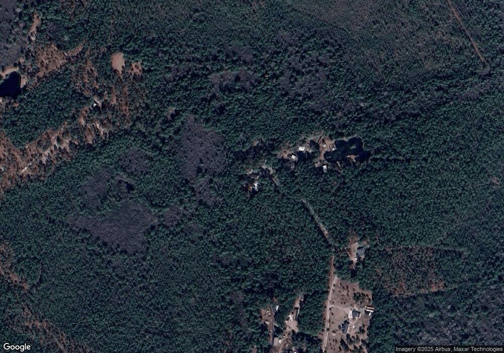
319 Forest Edge Dr Hampstead, NC 28443
Estimated Value: $192,000 - $313,000
3
Beds
1
Bath
720
Sq Ft
$363/Sq Ft
Est. Value
About This Home
This home is located at 319 Forest Edge Dr, Hampstead, NC 28443 and is currently estimated at $261,032, approximately $362 per square foot. 319 Forest Edge Dr is a home with nearby schools including North Topsail Elementary School, Topsail Middle School, and Topsail High School.
Ownership History
Date
Name
Owned For
Owner Type
Purchase Details
Closed on
Jan 20, 2017
Sold by
Firsher Lori J and Firsher Charles R
Bought by
Firsher Lori J and Firsher Charles R
Current Estimated Value
Purchase Details
Closed on
May 22, 2013
Sold by
International Paper Co
Bought by
Brp Llc
Purchase Details
Closed on
Aug 19, 2004
Bought by
Fisher Lori J Westervelt
Create a Home Valuation Report for This Property
The Home Valuation Report is an in-depth analysis detailing your home's value as well as a comparison with similar homes in the area
Home Values in the Area
Average Home Value in this Area
Purchase History
| Date | Buyer | Sale Price | Title Company |
|---|---|---|---|
| Firsher Lori J | -- | None Available | |
| Brp Llc | -- | None Available | |
| Fisher Lori J Westervelt | -- | -- |
Source: Public Records
Tax History Compared to Growth
Tax History
| Year | Tax Paid | Tax Assessment Tax Assessment Total Assessment is a certain percentage of the fair market value that is determined by local assessors to be the total taxable value of land and additions on the property. | Land | Improvement |
|---|---|---|---|---|
| 2024 | $1,338 | $122,398 | $34,344 | $88,054 |
| 2023 | $1,338 | $122,398 | $34,344 | $88,054 |
| 2022 | $1,245 | $122,398 | $34,344 | $88,054 |
| 2021 | $1,245 | $122,398 | $34,344 | $88,054 |
| 2020 | $1,245 | $122,398 | $34,344 | $88,054 |
| 2019 | $1,245 | $122,398 | $34,344 | $88,054 |
| 2018 | $883 | $78,231 | $21,587 | $56,644 |
| 2017 | $883 | $78,231 | $21,587 | $56,644 |
| 2016 | $875 | $78,231 | $21,587 | $56,644 |
| 2015 | $840 | $78,231 | $21,587 | $56,644 |
| 2014 | $685 | $78,231 | $21,587 | $56,644 |
| 2013 | -- | $78,231 | $21,587 | $56,644 |
| 2012 | -- | $78,231 | $21,587 | $56,644 |
Source: Public Records
Map
Nearby Homes
- 126 Shady Pines Dr
- 24480 Us Highway 17
- 8 Hardison Dr
- 1109 Terraces Ln
- 108 Paver Ln
- 1103 Terraces Ln
- Bailey Plan at The Terraces
- 180 Portico Ct
- 1018 Terraces Ln
- Seagrove Plan at The Terraces
- Cameron Plan at The Terraces
- Stoddard Plan at The Terraces
- Pinehurst 3 Plan at The Terraces
- Somerset 3 Plan at The Terraces
- Midland 2 Plan at The Terraces
- 181 Portico Ct
- Cotswold 3 Plan at The Terraces
- 171 Portico Ct
- 34.38 Ac Stag Dr
- 30.5 Stag Dr
- 312 Forest Edge Dr
- 282 Forest Edge Dr
- 0 Forest Edge Rd
- 208 Forest Edge Rd
- 844 Buck Shot Rd
- 00 Forest Edge Dr
- 0 Double Oaks Dr
- 796 Traders Neck Rd
- 260 Shady Pines Dr
- 75 Gordy Way
- 79 Gordy Way
- 78 Gordy Way
- 78 Double Oaks Dr
- 125 Double Oaks Dr
- 79 W Hennings Way
- 16 W Hennings Way
- Tr 2 Highway Off 17
- 1220 Traders Neck Rd
- 54 Acres Buck Shot
- 23660 17 N
