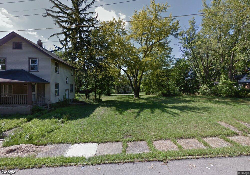
319 Herring St Mansfield, OH 44903
Estimated Value: $32,000 - $77,706
2
Beds
1
Bath
484
Sq Ft
$128/Sq Ft
Est. Value
About This Home
This home is located at 319 Herring St, Mansfield, OH 44903 and is currently estimated at $61,927, approximately $127 per square foot. 319 Herring St is a home located in Richland County with nearby schools including Goal Digital Academy, Foundation Academy, and St. Peter's Elementary/Montessori School.
Ownership History
Date
Name
Owned For
Owner Type
Purchase Details
Closed on
Nov 19, 2018
Sold by
Community Temple Church Of God In Christ
Bought by
Home Crew Llc
Current Estimated Value
Purchase Details
Closed on
Jul 29, 2013
Sold by
Free Indeed Church Of God In Christ and Buggs Robert L
Bought by
Community Temple Church Of God In Christ
Purchase Details
Closed on
Dec 21, 2012
Sold by
Brown Terrence L and Brown Ann M
Bought by
Free Indeed Church Of God In Christ
Create a Home Valuation Report for This Property
The Home Valuation Report is an in-depth analysis detailing your home's value as well as a comparison with similar homes in the area
Home Values in the Area
Average Home Value in this Area
Purchase History
| Date | Buyer | Sale Price | Title Company |
|---|---|---|---|
| Home Crew Llc | -- | None Available | |
| Community Temple Church Of God In Christ | -- | None Available | |
| Free Indeed Church Of God In Christ | $26,000 | None Available |
Source: Public Records
Tax History Compared to Growth
Tax History
| Year | Tax Paid | Tax Assessment Tax Assessment Total Assessment is a certain percentage of the fair market value that is determined by local assessors to be the total taxable value of land and additions on the property. | Land | Improvement |
|---|---|---|---|---|
| 2024 | $109 | $2,280 | $1,650 | $630 |
| 2023 | $109 | $2,280 | $1,650 | $630 |
| 2022 | $112 | $1,960 | $1,500 | $460 |
| 2021 | $113 | $1,960 | $1,500 | $460 |
| 2020 | $115 | $1,960 | $1,500 | $460 |
| 2019 | $128 | $1,960 | $1,500 | $460 |
| 2018 | $337 | $5,230 | $1,500 | $3,730 |
| 2017 | $355 | $5,230 | $1,500 | $3,730 |
| 2016 | $382 | $5,910 | $2,370 | $3,540 |
| 2015 | $382 | $5,910 | $2,370 | $3,540 |
| 2014 | $360 | $5,910 | $2,370 | $3,540 |
| 2012 | $350 | $6,220 | $2,500 | $3,720 |
Source: Public Records
Map
Nearby Homes
- 283 Bulkley Ave
- 526 Bowman St
- 426 Mcpherson St
- 0 Voegele Ave Unit Lot 6048, 6049, 6
- 371 Bell St
- 156 Buckingham Ave Unit 158
- 512 Burns St
- 118 Raymond Ave
- 0 Highway 30
- 743 Bowman St
- 362-364 W 6th St
- 212 Penn Ave
- 282 W 5th St
- 0 State Route 314 Unit 9069650
- 0 State Route 314 Unit 9067316
- 0 State Route 314 Unit 225021979
- 688 Mcpherson St
- 219 W 5th St
- 237 Helen Ave
- 169 W 5th St
- 506 S Horning Rd
- 503 Woodland Ave
- 509 Woodland Ave
- 499 Woodland Ave
- 493 Woodland Ave
- 313 Chester Ave
- 515 Woodland Ave
- 498 Louise Ave
- 504 Louise Ave
- 494 Louise Ave
- 327 Chester Ave
- 508 Louise Ave
- 319 Chester Ave
- 492 Louise Ave
- 323 Chester Ave
- 483 Woodland Ave
- 512 Louise Ave
- 309 Chester Ave
- 510 Woodland Rd
- 502 Woodland Rd