Estimated Value: $197,321 - $284,000
3
Beds
2
Baths
1,056
Sq Ft
$224/Sq Ft
Est. Value
About This Home
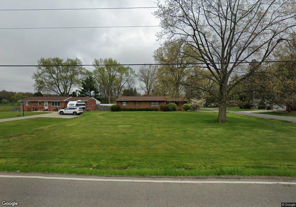
This home is located at 319 Howe Rd, Kent, OH 44240 and is currently estimated at $236,330, approximately $223 per square foot. 319 Howe Rd is a home located in Portage County with nearby schools including Brimfield Elementary School, Field Middle School, and Field High School.
Ownership History
Date
Name
Owned For
Owner Type
Purchase Details
Closed on
Jul 12, 1995
Sold by
Schutz Kevin L
Bought by
Hazelett Bennie and Hazelett Vicki L
Current Estimated Value
Home Financials for this Owner
Home Financials are based on the most recent Mortgage that was taken out on this home.
Original Mortgage
$99,950
Interest Rate
7.79%
Mortgage Type
New Conventional
Purchase Details
Closed on
Jun 24, 1994
Sold by
Dykas Kevin A
Bought by
Wiegmann Kevin L Schultz and Wiegmann Susan M
Home Financials for this Owner
Home Financials are based on the most recent Mortgage that was taken out on this home.
Original Mortgage
$92,150
Interest Rate
8.78%
Mortgage Type
New Conventional
Create a Home Valuation Report for This Property
The Home Valuation Report is an in-depth analysis detailing your home's value as well as a comparison with similar homes in the area
Home Values in the Area
Average Home Value in this Area
Purchase History
| Date | Buyer | Sale Price | Title Company |
|---|---|---|---|
| Hazelett Bennie | $101,000 | -- | |
| Wiegmann Kevin L Schultz | $97,000 | -- |
Source: Public Records
Mortgage History
| Date | Status | Borrower | Loan Amount |
|---|---|---|---|
| Closed | Hazelett Bennie | $99,950 | |
| Previous Owner | Wiegmann Kevin L Schultz | $92,150 |
Source: Public Records
Tax History
| Year | Tax Paid | Tax Assessment Tax Assessment Total Assessment is a certain percentage of the fair market value that is determined by local assessors to be the total taxable value of land and additions on the property. | Land | Improvement |
|---|---|---|---|---|
| 2025 | $3,127 | $64,230 | $10,570 | $53,660 |
| 2024 | $3,076 | $64,230 | $10,570 | $53,660 |
| 2023 | $2,724 | $45,650 | $9,630 | $36,020 |
| 2022 | $2,731 | $45,650 | $9,630 | $36,020 |
| 2021 | $2,657 | $45,650 | $9,630 | $36,020 |
| 2020 | $2,667 | $41,520 | $9,630 | $31,890 |
| 2019 | $2,634 | $41,520 | $9,630 | $31,890 |
| 2018 | $2,168 | $40,540 | $13,060 | $27,480 |
| 2017 | $2,168 | $40,540 | $13,060 | $27,480 |
| 2016 | $2,161 | $40,540 | $13,060 | $27,480 |
| 2015 | $2,091 | $40,540 | $13,060 | $27,480 |
| 2014 | $2,018 | $40,540 | $13,060 | $27,480 |
| 2013 | $1,971 | $40,540 | $13,060 | $27,480 |
Source: Public Records
Map
Nearby Homes
- 0 Progress Blvd Unit LotWP001
- 4595 Creekside Dr
- 32 Picadilly Ct
- 59 Tudor Ln
- 146 Reserve Dr
- 1079 Carol Ln
- 124 Tallmadge Rd
- 112 Tallmadge Rd
- 0 Middlebury Rd
- 294 Milton Dr
- 726 Hughey Dr
- 0 Northeast Ave Unit 5114314
- 895 East Ave
- 4545 State Route 43
- 1233 Cedar Ridge Rd
- 5096 Spruce Knoll Run
- 3929 Lor Ron St
- 410 Beryl Dr
- 0 East Ave
- 1302 Walnut St
Your Personal Tour Guide
Ask me questions while you tour the home.