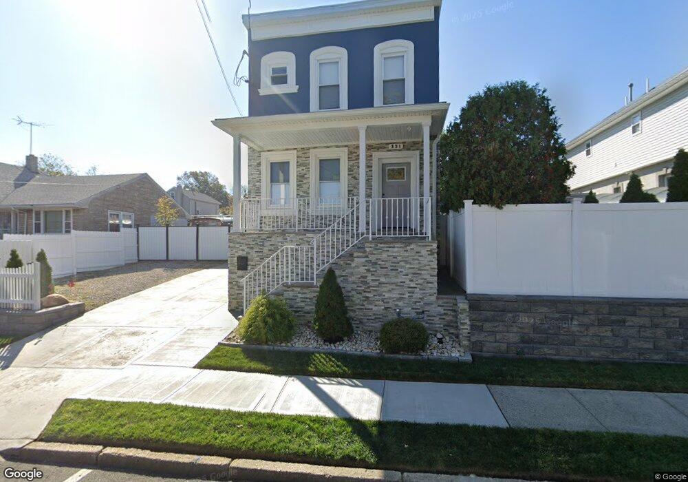
319 Leon Ave Perth Amboy, NJ 08861
Maurer NeighborhoodEstimated Value: $482,000 - $514,144
About This Home
This home is located at 319 Leon Ave, Perth Amboy, NJ 08861 and is currently estimated at $491,786, approximately $344 per square foot. 319 Leon Ave is a home located in Middlesex County with nearby schools including Perth Amboy High School, Academy for Urban Leadership Charter School, and Assumption Catholic School.
Ownership History
We collect this data history from publicly available records. To have your information removed, we recommend requesting removal directly through your county’s website.
Purchase Details
Home Financials for this Owner
Home Financials are based on the most recent Mortgage that was taken out on this home.Purchase Details
Home Values in the Area
Average Home Value in this Area
Purchase History
We collect this data history from publicly available records. To have your information removed, we recommend requesting removal directly through your county’s website.
| Date | Buyer | Sale Price | Title Company |
|---|---|---|---|
| $152,500 | M A D Title Agency Llc | ||
| -- | M A D Title Agency Llc | ||
| $119,000 | -- |
Mortgage History
We collect this data history from publicly available records. To have your information removed, we recommend requesting removal directly through your county’s website.
| Date | Status | Borrower | Loan Amount |
|---|---|---|---|
| Open | $122,000 |
Tax History
We collect this data history from publicly available records. To have your information removed, we recommend requesting removal directly through your county’s website.
| Year | Tax Paid | Tax Assessment Tax Assessment Total Assessment is a certain percentage of the fair market value that is determined by local assessors to be the total taxable value of land and additions on the property. | Land | Improvement |
|---|---|---|---|---|
| 2025 | $7,899 | $285,700 | $98,000 | $187,700 |
| 2024 | $7,883 | $261,800 | $98,000 | $163,800 |
| 2023 | $7,883 | $261,800 | $98,000 | $163,800 |
| 2022 | $7,789 | $261,800 | $98,000 | $163,800 |
| 2021 | $7,799 | $261,800 | $98,000 | $163,800 |
| 2020 | $6,778 | $227,600 | $98,000 | $129,600 |
| 2019 | $6,803 | $227,600 | $98,000 | $129,600 |
| 2018 | $6,744 | $227,600 | $98,000 | $129,600 |
| 2017 | $6,730 | $227,600 | $98,000 | $129,600 |
| 2016 | $6,555 | $227,600 | $98,000 | $129,600 |
| 2015 | $6,600 | $227,600 | $98,000 | $129,600 |
| 2014 | $6,641 | $227,600 | $98,000 | $129,600 |
Map
- 434 Lawrence St Unit 18
- 768 State St
- 714 Catherine St
- 419 Inslee St
- 676 Johnstone St
- 305 Meredith St
- 344 Arnold Ave
- 655 Charles St
- 680 Amboy Ave
- 520 N Park Dr
- 765 Mary St
- 720 Mary St
- 366 Jeffries St
- 595 Jacques St
- 649 Cornell St
- 706 Convery Blvd
- 838 Harbortown Blvd Unit 838
- 611 Pacific Ave
- 592 Harding Ave
- 690 Carson Ave
Ask me questions while you tour the home.