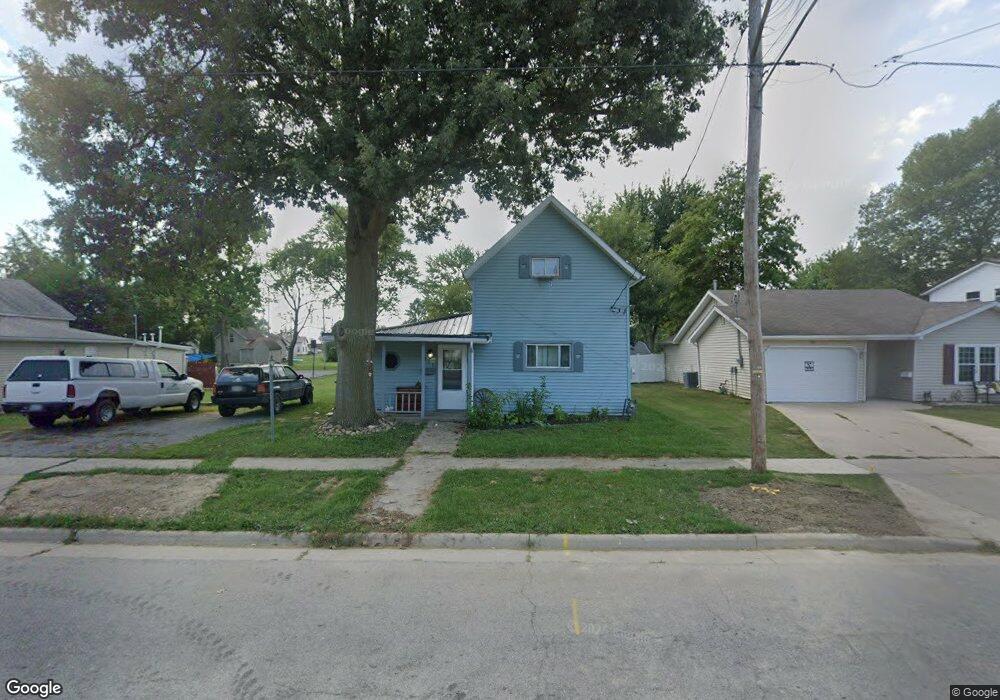
319 N Franklin St van Wert, OH 45891
Estimated Value: $109,174 - $180,000
4
Beds
1
Bath
1,502
Sq Ft
$92/Sq Ft
Est. Value
About This Home
This home is located at 319 N Franklin St, van Wert, OH 45891 and is currently estimated at $138,794, approximately $92 per square foot. 319 N Franklin St is a home located in Van Wert County with nearby schools including Van Wert Early Childhood Center, Van Wert High School, and Lifelinks Community School.
Ownership History
Date
Name
Owned For
Owner Type
Purchase Details
Closed on
Dec 15, 2012
Bought by
Hernandez Olse
Current Estimated Value
Purchase Details
Closed on
Jun 23, 2010
Sold by
Us Bank National Association
Bought by
Bidlack Yvonne M
Purchase Details
Closed on
Jan 6, 2010
Sold by
Hernandez Olse
Bought by
Us Bank National Association
Purchase Details
Closed on
Sep 26, 2005
Sold by
Hernandez Olse
Bought by
Armentrout Kathryn and Armentrout Marvel
Purchase Details
Closed on
Jan 6, 2001
Bought by
Credit Suisse First Bosto
Purchase Details
Closed on
May 19, 1999
Bought by
First Bank Natl Assciati
Create a Home Valuation Report for This Property
The Home Valuation Report is an in-depth analysis detailing your home's value as well as a comparison with similar homes in the area
Home Values in the Area
Average Home Value in this Area
Purchase History
| Date | Buyer | Sale Price | Title Company |
|---|---|---|---|
| Hernandez Olse | $7,000 | -- | |
| Bidlack Yvonne M | $10,000 | Rels Title | |
| Us Bank National Association | $12,000 | None Available | |
| Armentrout Kathryn | $1,000 | None Available | |
| Credit Suisse First Bosto | $12,000 | -- | |
| First Bank Natl Assciati | $14,000 | -- |
Source: Public Records
Mortgage History
| Date | Status | Borrower | Loan Amount |
|---|---|---|---|
| Closed | Armentrout Kathryn | $0 |
Source: Public Records
Tax History Compared to Growth
Tax History
| Year | Tax Paid | Tax Assessment Tax Assessment Total Assessment is a certain percentage of the fair market value that is determined by local assessors to be the total taxable value of land and additions on the property. | Land | Improvement |
|---|---|---|---|---|
| 2024 | $943 | $26,810 | $2,930 | $23,880 |
| 2023 | $943 | $26,810 | $2,930 | $23,880 |
| 2022 | $748 | $18,330 | $2,820 | $15,510 |
| 2021 | $729 | $18,330 | $2,820 | $15,510 |
| 2020 | $727 | $18,330 | $2,820 | $15,510 |
| 2019 | $648 | $15,970 | $2,820 | $13,150 |
| 2018 | $629 | $15,970 | $2,820 | $13,150 |
| 2017 | $628 | $15,970 | $2,820 | $13,150 |
| 2016 | $538 | $14,670 | $2,820 | $11,850 |
| 2015 | $538 | $14,670 | $2,820 | $11,850 |
| 2014 | $533 | $14,670 | $2,820 | $11,850 |
| 2013 | $573 | $14,670 | $2,820 | $11,850 |
Source: Public Records
Map
Nearby Homes
- 919 E Sycamore St
- 409 N Cherry St
- 914 E Crawford St
- 623 N Cherry St
- 600 N Walnut St
- 517 N Walnut St
- 656 N Market St
- 692 N Market St
- 142 Gleason Ave
- 515 S Race St
- 668 N Washington St
- 214 N Jefferson St
- 202 N Jefferson St
- 529 S Tyler St
- 228 W 2nd St
- 142 E Raymond St
- 627 S Walnut St
- 103 Bonnewitz Ave
- 304 Anderson Ave
- 331 North St
- 309 N Franklin St
- 819 E Sycamore St
- 325 N Franklin St
- 306 N Chestnut St
- 813 E Sycamore St
- 314 N Franklin St
- 316 N Chestnut St
- 324 N Franklin St
- 302 N Chestnut St
- 326 S Franklin St
- 332 N Chestnut St
- 239 N Franklin St
- 326 N Franklin St
- 814 E Sycamore St
- 328 N Franklin St
- 808 E Sycamore St
- 340 N Chestnut St
- 236 N Franklin St
- 231 N Franklin St