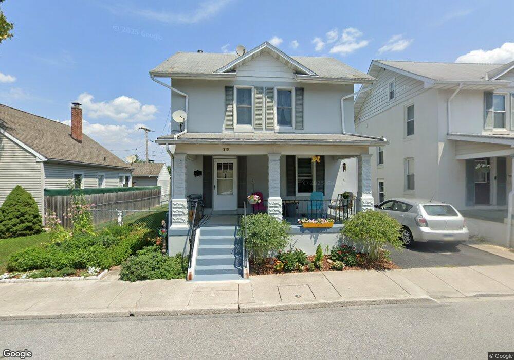
319 Prince St Littlestown, PA 17340
Estimated Value: $222,732 - $253,000
3
Beds
2
Baths
1,296
Sq Ft
$182/Sq Ft
Est. Value
About This Home
This home is located at 319 Prince St, Littlestown, PA 17340 and is currently estimated at $235,933, approximately $182 per square foot. 319 Prince St is a home located in Adams County with nearby schools including Rolling Acres El School, Maple Avenue Middle School, and Littlestown Senior High School.
Ownership History
Date
Name
Owned For
Owner Type
Purchase Details
Closed on
Sep 8, 2017
Sold by
Bertier Jeremy T and Miller Susan M
Bought by
Bertier Cynda H
Current Estimated Value
Purchase Details
Closed on
Jun 29, 2006
Sold by
Richey Patrick W and Richey Linda K
Bought by
Bertier Jeremy T and Miller Susan M
Home Financials for this Owner
Home Financials are based on the most recent Mortgage that was taken out on this home.
Original Mortgage
$35,600
Outstanding Balance
$21,205
Interest Rate
6.71%
Mortgage Type
Stand Alone Second
Estimated Equity
$214,728
Create a Home Valuation Report for This Property
The Home Valuation Report is an in-depth analysis detailing your home's value as well as a comparison with similar homes in the area
Home Values in the Area
Average Home Value in this Area
Purchase History
| Date | Buyer | Sale Price | Title Company |
|---|---|---|---|
| Bertier Cynda H | -- | None Available | |
| Bertier Jeremy T | $178,000 | -- |
Source: Public Records
Mortgage History
| Date | Status | Borrower | Loan Amount |
|---|---|---|---|
| Open | Bertier Jeremy T | $35,600 | |
| Open | Bertier Jeremy T | $142,400 |
Source: Public Records
Tax History Compared to Growth
Tax History
| Year | Tax Paid | Tax Assessment Tax Assessment Total Assessment is a certain percentage of the fair market value that is determined by local assessors to be the total taxable value of land and additions on the property. | Land | Improvement |
|---|---|---|---|---|
| 2025 | $3,634 | $158,100 | $24,200 | $133,900 |
| 2024 | $3,502 | $158,100 | $24,200 | $133,900 |
| 2023 | $3,367 | $158,100 | $24,200 | $133,900 |
| 2022 | $3,346 | $158,100 | $24,200 | $133,900 |
| 2021 | $3,247 | $158,100 | $24,200 | $133,900 |
| 2020 | $3,208 | $158,100 | $24,200 | $133,900 |
| 2019 | $3,112 | $158,100 | $24,200 | $133,900 |
| 2018 | $3,055 | $158,100 | $24,200 | $133,900 |
| 2017 | $2,977 | $158,100 | $24,200 | $133,900 |
| 2016 | -- | $158,100 | $24,200 | $133,900 |
| 2015 | -- | $158,100 | $24,200 | $133,900 |
| 2014 | -- | $158,100 | $24,200 | $133,900 |
Source: Public Records
Map
Nearby Homes
- 440 N Queen St
- 140 Apple Grove Ln Unit 425
- 162 Newark St
- 106 E King St
- 61 E King St
- 115 Charles St
- 117 Charles St
- 20c Locust Dr
- 0 Locust Dr Unit PAAD2015910
- 22 Rita Marie Ave
- 58 Windsor Ct
- 161 Stoners Cir
- 41 Smith Cir
- 241 M St
- 535 Lumber St
- 559 Lumber St
- 567 Lumber St
- 15 Yorktowne Ct Unit 97
- 1024 Frederick Pike Unit 6
- 1 Hickory Ln
- 101 Windsor St
- 315 Prince St
- 313 Prince St
- 322 Prince St
- 324 Prince St
- 405 Prince St
- 320 Prince St
- 33 St Johns Rd
- 33 Windsor St Unit 77
- 311 Prince St
- 318 Prince St
- 314 Prince St
- 409 Prince St Unit 31
- 0 Prince St
- 404 Prince St
- 312 Prince St
- 108 Newark St
- 413 Prince St Unit 32
- 110 Newark St
- 106 Newark St