319 Quane Ave Spring Hill, FL 34609
Estimated Value: $320,000 - $342,000
3
Beds
2
Baths
2,785
Sq Ft
$118/Sq Ft
Est. Value
About This Home
This home is located at 319 Quane Ave, Spring Hill, FL 34609 and is currently estimated at $329,340, approximately $118 per square foot. 319 Quane Ave is a home located in Hernando County with nearby schools including Suncoast Elementary School, Powell Middle School, and Frank W. Springstead High School.
Ownership History
Date
Name
Owned For
Owner Type
Purchase Details
Closed on
Mar 10, 2011
Sold by
Decillis Marie A and Decillis Frank
Bought by
Shaw James E and Shaw Michele
Current Estimated Value
Purchase Details
Closed on
Jan 22, 2008
Sold by
Decillis Frank
Bought by
Decillis Marie A
Purchase Details
Closed on
Oct 31, 2000
Sold by
Ryland Group Inc
Bought by
Decillis Frank and Decillis Marie A
Home Financials for this Owner
Home Financials are based on the most recent Mortgage that was taken out on this home.
Original Mortgage
$120,000
Interest Rate
7.93%
Create a Home Valuation Report for This Property
The Home Valuation Report is an in-depth analysis detailing your home's value as well as a comparison with similar homes in the area
Home Values in the Area
Average Home Value in this Area
Purchase History
| Date | Buyer | Sale Price | Title Company |
|---|---|---|---|
| Shaw James E | $150,000 | Southeast Title Suncoast Inc | |
| Decillis Marie A | $55,000 | None Available | |
| Decillis Frank | $163,400 | -- |
Source: Public Records
Mortgage History
| Date | Status | Borrower | Loan Amount |
|---|---|---|---|
| Previous Owner | Decillis Frank | $120,000 |
Source: Public Records
Tax History
| Year | Tax Paid | Tax Assessment Tax Assessment Total Assessment is a certain percentage of the fair market value that is determined by local assessors to be the total taxable value of land and additions on the property. | Land | Improvement |
|---|---|---|---|---|
| 2025 | $4,412 | $301,004 | -- | -- |
| 2024 | $4,832 | $304,456 | -- | -- |
| 2023 | $4,832 | $251,522 | $0 | $0 |
| 2022 | $4,450 | $228,656 | $0 | $0 |
| 2021 | $3,412 | $207,869 | $33,824 | $174,045 |
| 2020 | $3,528 | $193,395 | $33,824 | $159,571 |
| 2019 | $3,499 | $185,683 | $33,824 | $151,859 |
| 2018 | $2,644 | $171,993 | $37,823 | $134,170 |
| 2017 | $2,819 | $160,819 | $37,823 | $122,996 |
| 2016 | $2,595 | $148,546 | $0 | $0 |
| 2015 | $2,538 | $142,409 | $0 | $0 |
| 2014 | $2,409 | $134,838 | $0 | $0 |
Source: Public Records
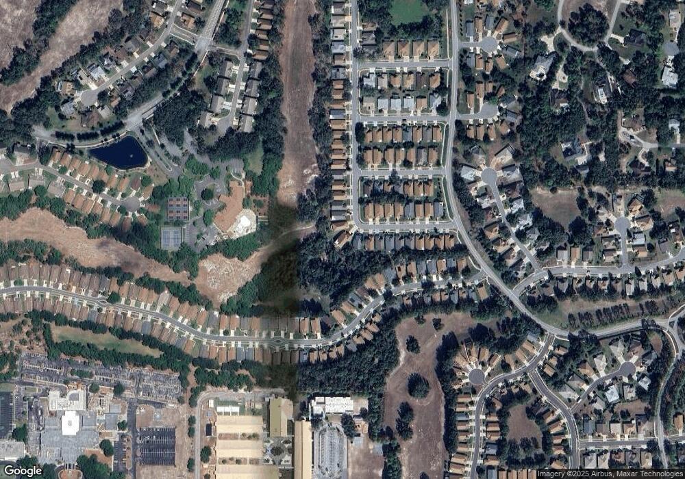
Map
Nearby Homes
- 371 Quane Ave
- 11261 McRacken Dr
- 453 Candlestone Ct
- 402 & 406 Candlestone Ct
- 401 & 405 Candlestone Ct
- 449 Candlestone Ct
- 11330 Leeds Dr
- 232 Center Oak Cir
- 11343 Leeds Dr
- 0 Centerwood Ave Unit MFRTB8450965
- 432 Mistwood Ct
- 412 Mistwood Ct
- 11121 Cherrywood Ct
- 239 Longleaf Ct
- 11323 Highlander Ct
- 320 Mcintosh Ct
- 114 Center Oak Cir
- 11078 Heathrow Ave
- 11075 Heathrow Ave
- 11201 Valley Stream Ct
- 315 Quane Ave
- 315 315 Quane Ave
- 331 Quane Ave
- 311 Quane Ave
- 335 Quane Ave
- 307 Quane Ave
- 343 Quane Ave
- 310 Quane Ave
- 347 Quane Ave
- 303 Quane Ave
- 306 Quane Ave
- 11247 Heathrow Ave
- 11251 Heathrow Ave
- 11243 Heathrow Ave
- 351 351 Quane Ave
- 302 Quane Ave
- 351 Quane Ave
- 11255 Heathrow Ave
- 11239 Heathrow Ave
- 299 Quane Ave
Your Personal Tour Guide
Ask me questions while you tour the home.