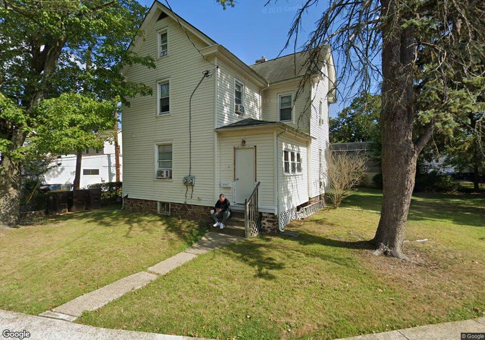
319 S Line St Lansdale, PA 19446
Estimated Value: $350,000 - $403,000
4
Beds
2
Baths
1,478
Sq Ft
$258/Sq Ft
Est. Value
About This Home
This home is located at 319 S Line St, Lansdale, PA 19446 and is currently estimated at $381,435, approximately $258 per square foot. 319 S Line St is a home located in Montgomery County with nearby schools including York Avenue Elementary School, Penndale Middle School, and North Penn Senior High School.
Ownership History
Date
Name
Owned For
Owner Type
Purchase Details
Closed on
Oct 1, 2019
Sold by
Main Ronald G and Main Christine Fabiani
Bought by
Bartelt Matthew S and Bartelt Douglas Matthew
Current Estimated Value
Home Financials for this Owner
Home Financials are based on the most recent Mortgage that was taken out on this home.
Original Mortgage
$275,000
Outstanding Balance
$240,418
Interest Rate
3.4%
Mortgage Type
Seller Take Back
Estimated Equity
$141,017
Purchase Details
Closed on
Jun 26, 2003
Sold by
Fabiani-Main Christine and Main Robert C
Bought by
Fabiani-Main Christine and Main Ronald C
Purchase Details
Closed on
Jan 12, 2001
Sold by
Weber C Kenneth and Weber Sarah S
Bought by
Main Robert C and Fabiani Main Christine
Create a Home Valuation Report for This Property
The Home Valuation Report is an in-depth analysis detailing your home's value as well as a comparison with similar homes in the area
Home Values in the Area
Average Home Value in this Area
Purchase History
| Date | Buyer | Sale Price | Title Company |
|---|---|---|---|
| Bartelt Matthew S | $275,000 | None Available | |
| Fabiani-Main Christine | -- | -- | |
| Main Robert C | $95,000 | -- |
Source: Public Records
Mortgage History
| Date | Status | Borrower | Loan Amount |
|---|---|---|---|
| Open | Bartelt Matthew S | $275,000 |
Source: Public Records
Tax History Compared to Growth
Tax History
| Year | Tax Paid | Tax Assessment Tax Assessment Total Assessment is a certain percentage of the fair market value that is determined by local assessors to be the total taxable value of land and additions on the property. | Land | Improvement |
|---|---|---|---|---|
| 2025 | $4,291 | $102,010 | $47,790 | $54,220 |
| 2024 | $4,291 | $102,010 | $47,790 | $54,220 |
| 2023 | $4,014 | $102,010 | $47,790 | $54,220 |
| 2022 | $3,887 | $102,010 | $47,790 | $54,220 |
| 2021 | $3,728 | $102,010 | $47,790 | $54,220 |
| 2020 | $3,616 | $102,010 | $47,790 | $54,220 |
| 2019 | $3,556 | $102,010 | $47,790 | $54,220 |
| 2018 | $954 | $102,010 | $47,790 | $54,220 |
| 2017 | $3,319 | $102,010 | $47,790 | $54,220 |
| 2016 | $3,280 | $102,010 | $47,790 | $54,220 |
| 2015 | $3,222 | $102,010 | $47,790 | $54,220 |
| 2014 | $3,044 | $102,010 | $47,790 | $54,220 |
Source: Public Records
Map
Nearby Homes
- 263 Compass Dr
- 380 E Hancock St Unit 100A
- 380 E Hancock St Unit 104A
- 380 E Hancock St Unit 103A
- 380 E Hancock St Unit 101A
- 380 E Hancock St Unit 103B
- 380 E Hancock St Unit 102B
- 380 E Hancock St Unit 101B
- 380 E Hancock St Unit 100B
- 380 E Hancock St Unit 102A
- 100 Penn St
- 159 Penn St
- 2 N Line St
- 38 Hamilton St
- 446 E Main St
- 128 S Broad St
- 235 E 2nd St
- 220 Pennbrook Ave
- 135 Third
- 532 Green St
- 321 S Line St
- 323 S Line St
- 202 E Mount Vernon St
- 204 E Mount Vernon St
- 200 E Mount Vernon St Unit 15
- 212 E Mount Vernon St Unit 16
- 212 E Mount Vernon St Unit 3
- 212 E Mount Vernon St Unit 12
- 212 E Mount Vernon St
- 212 E Mount Vernon St Unit 15
- 212 E Mount Vernon St Unit 17
- 158 E Mount Vernon St
- 259 Compass Dr
- 261 Compass Dr
- 278 Almond Dr
- 282 Almond Dr
- 280 Almond Dr
- 276 Almond Dr
- 265 Compass Dr
- 257 Compass Dr