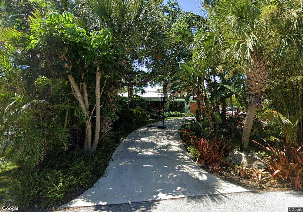
319 SE Atlantic Dr Lantana, FL 33462
Estimated Value: $1,343,000 - $1,955,000
2
Beds
2
Baths
1,734
Sq Ft
$899/Sq Ft
Est. Value
About This Home
This home is located at 319 SE Atlantic Dr, Lantana, FL 33462 and is currently estimated at $1,558,865, approximately $898 per square foot. 319 SE Atlantic Dr is a home located in Palm Beach County with nearby schools including Lantana Elementary School, Lantana Middle School, and Lake Worth Community High School.
Ownership History
Date
Name
Owned For
Owner Type
Purchase Details
Closed on
Feb 26, 2013
Sold by
Graham Laurie and Fratianni Guy
Bought by
Mcdonough John and Mcdonough Elizabeth
Current Estimated Value
Purchase Details
Closed on
Jun 16, 1997
Sold by
Hathaway Boyd and Hathaway Janice
Bought by
Graham Laurie
Home Financials for this Owner
Home Financials are based on the most recent Mortgage that was taken out on this home.
Original Mortgage
$146,250
Interest Rate
8.01%
Mortgage Type
New Conventional
Create a Home Valuation Report for This Property
The Home Valuation Report is an in-depth analysis detailing your home's value as well as a comparison with similar homes in the area
Home Values in the Area
Average Home Value in this Area
Purchase History
| Date | Buyer | Sale Price | Title Company |
|---|---|---|---|
| Mcdonough John | $348,000 | Capital Abstract & Title | |
| Graham Laurie | $195,000 | -- |
Source: Public Records
Mortgage History
| Date | Status | Borrower | Loan Amount |
|---|---|---|---|
| Previous Owner | Graham Laurie | $146,250 |
Source: Public Records
Tax History Compared to Growth
Tax History
| Year | Tax Paid | Tax Assessment Tax Assessment Total Assessment is a certain percentage of the fair market value that is determined by local assessors to be the total taxable value of land and additions on the property. | Land | Improvement |
|---|---|---|---|---|
| 2024 | $7,678 | $401,699 | -- | -- |
| 2023 | $7,346 | $389,999 | $0 | $0 |
| 2022 | $7,296 | $378,640 | $0 | $0 |
| 2021 | $7,304 | $367,612 | $0 | $0 |
| 2020 | $7,341 | $362,536 | $0 | $0 |
| 2019 | $6,405 | $314,149 | $0 | $0 |
| 2018 | $6,119 | $308,291 | $0 | $0 |
| 2017 | $5,987 | $301,950 | $0 | $0 |
| 2016 | $5,914 | $295,739 | $0 | $0 |
| 2015 | $6,028 | $293,683 | $0 | $0 |
| 2014 | $6,034 | $291,352 | $0 | $0 |
Source: Public Records
Map
Nearby Homes
- 326 S Atlantic Dr
- 216 SE Atlantic Dr
- 5 Barefoot Ln
- 103 S Atlantic Dr
- 209 Evans Ln
- 201 E Ocean Ave Unit 1
- 310 N Atlantic Dr
- 4002 S Ocean Blvd Unit Lots 2+3+4
- 805 Pelican Ln
- 640 S Ocean Blvd
- 4201 S South Ocean Blvd Unit J-2
- 4201 S Ocean Blvd Unit H2
- 4201 S Ocean Blvd Unit K3
- 4001 S Ocean Blvd Unit 204
- 4001 S Ocean Blvd Unit 304
- 4001 S Ocean Blvd Unit 307
- 4001 S Ocean Blvd Unit 115
- 4001 S Ocean Blvd Unit 103
- 3605 S Ocean Blvd Unit 318
- 3605 S Ocean Blvd Unit 124
- 321 S Atlantic Dr
- 321 S Atlantic Dr
- 317 S Atlantic Dr
- 215 SE Atlantic Dr
- 310 S Atlantic Dr
- 317 SE Atlantic Dr
- 320 S Atlantic Dr
- 306 S Atlantic Dr
- 402 S Atlantic Dr
- 406 S Atlantic Dr
- 409 SE Atlantic Dr
- 210 S Atlantic Dr
- 413 SE Atlantic Dr
- 408 S Atlantic Dr
- 314 Beach Curve Rd
- 425 SE Atlantic Dr
- 205 SE Atlantic Dr
- 309 S Atlantic Dr
- 210 SE Atlantic Dr Unit Hypoluxo Island
- 210 SE Atlantic Dr