319 SE Sheridan Rd Sheridan, OR 97378
Estimated Value: $286,000 - $353,000
2
Beds
2
Baths
1,093
Sq Ft
$299/Sq Ft
Est. Value
About This Home
This home is located at 319 SE Sheridan Rd, Sheridan, OR 97378 and is currently estimated at $327,009, approximately $299 per square foot. 319 SE Sheridan Rd is a home located in Yamhill County with nearby schools including Faulconer-Chapman School, Sheridan High School, and Sheridan Allprep Academy.
Ownership History
Date
Name
Owned For
Owner Type
Purchase Details
Closed on
Jul 17, 2024
Sold by
Quality Loan Service Corporation
Bought by
Nationstar Mortgage Llc
Current Estimated Value
Purchase Details
Closed on
Jun 5, 2020
Sold by
Bumstead Daniel C and Bumstead Regina R
Bought by
Luoto Preston
Home Financials for this Owner
Home Financials are based on the most recent Mortgage that was taken out on this home.
Original Mortgage
$235,653
Interest Rate
3.2%
Mortgage Type
FHA
Create a Home Valuation Report for This Property
The Home Valuation Report is an in-depth analysis detailing your home's value as well as a comparison with similar homes in the area
Home Values in the Area
Average Home Value in this Area
Purchase History
| Date | Buyer | Sale Price | Title Company |
|---|---|---|---|
| Nationstar Mortgage Llc | $234,753 | None Listed On Document | |
| Luoto Preston | $240,000 | Ticor Title |
Source: Public Records
Mortgage History
| Date | Status | Borrower | Loan Amount |
|---|---|---|---|
| Previous Owner | Luoto Preston | $235,653 |
Source: Public Records
Tax History Compared to Growth
Tax History
| Year | Tax Paid | Tax Assessment Tax Assessment Total Assessment is a certain percentage of the fair market value that is determined by local assessors to be the total taxable value of land and additions on the property. | Land | Improvement |
|---|---|---|---|---|
| 2025 | $2,432 | $179,412 | -- | -- |
| 2024 | $2,233 | $174,186 | -- | -- |
| 2023 | $2,169 | $169,113 | $0 | $0 |
| 2022 | $2,109 | $164,187 | $0 | $0 |
| 2021 | $2,387 | $159,405 | $0 | $0 |
| 2020 | $2,306 | $154,762 | $0 | $0 |
| 2019 | $2,265 | $150,254 | $0 | $0 |
| 2018 | $2,202 | $145,878 | $0 | $0 |
| 2017 | $2,161 | $141,629 | $0 | $0 |
| 2016 | $2,042 | $137,504 | $0 | $0 |
| 2015 | $1,973 | $133,501 | $0 | $0 |
| 2014 | $1,055 | $72,025 | $0 | $0 |
Source: Public Records
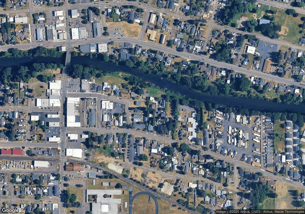
Map
Nearby Homes
- 243 SE Harney St
- 419 SE Sheridan Rd
- 503 SE Sheridan Rd Unit 8
- 518 S Bridge St
- 634 E Main St
- 515 SE Sheridan Rd
- 515 SE Sheridan Rd Unit 6
- 347 NE Oak St
- 204 SW Water St
- 119 NW Sherman St
- 740 SE Alicia St
- 245 NE Balm St
- 328 NW Sherman St
- 370 NW Yamhill St
- 611 NE Bockes Loop
- 510 NE Hill St
- 1200 Blk NE Center St Unit Parcel 4
- 785 NE Blair St
- 240 NW Sagan Loop
- 0 Highway 18 (Ta 635db00400)
- 331 SE Sheridan Rd
- 325 SE Sheridan Rd
- 211 SE Schley St
- 317 SE Sheridan Rd
- 223 SE Schley St
- 323 SE Sheridan Rd
- 235 SE Schley St
- 327 SE Harney St
- 239 SE Schley St
- 333 SE Sheridan Rd
- 307 SE Sheridan Rd
- 315 SE Harney St
- 341 SE Sheridan Rd
- 243 SE Sheridan Rd
- 320 SE Sheridan Rd
- 237 SE Sheridan Rd
- 328 SE Sheridan Rd
- 239 SE Harney St
- 338 SE Sheridan Rd