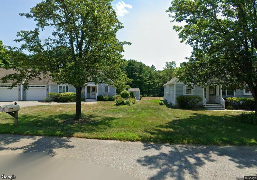
319 Stearns St Unit 51 Carlisle, MA 01741
Estimated Value: $752,000 - $809,000
2
Beds
3
Baths
1,352
Sq Ft
$583/Sq Ft
Est. Value
About This Home
This home is located at 319 Stearns St Unit 51, Carlisle, MA 01741 and is currently estimated at $788,091, approximately $582 per square foot. 319 Stearns St Unit 51 is a home located in Middlesex County with nearby schools including Carlisle School and Middlesex School.
Ownership History
Date
Name
Owned For
Owner Type
Purchase Details
Closed on
Sep 15, 2011
Sold by
Est Rosenstein David J and Rose Maria
Bought by
Claybrook Billy G and Claybrook Margaret N
Current Estimated Value
Purchase Details
Closed on
Sep 12, 2003
Sold by
51 Malcolm Meadows Rt
Bought by
Rosenstein David J
Home Financials for this Owner
Home Financials are based on the most recent Mortgage that was taken out on this home.
Original Mortgage
$346,500
Interest Rate
6.22%
Mortgage Type
Purchase Money Mortgage
Purchase Details
Closed on
Nov 21, 1997
Sold by
Northwest Structures
Bought by
Chapman Marion S
Home Financials for this Owner
Home Financials are based on the most recent Mortgage that was taken out on this home.
Original Mortgage
$200,000
Interest Rate
7.17%
Mortgage Type
Purchase Money Mortgage
Create a Home Valuation Report for This Property
The Home Valuation Report is an in-depth analysis detailing your home's value as well as a comparison with similar homes in the area
Home Values in the Area
Average Home Value in this Area
Purchase History
| Date | Buyer | Sale Price | Title Company |
|---|---|---|---|
| Claybrook Billy G | $334,352 | -- | |
| Rosenstein David J | $385,000 | -- | |
| Chapman Marion S | $251,382 | -- |
Source: Public Records
Mortgage History
| Date | Status | Borrower | Loan Amount |
|---|---|---|---|
| Previous Owner | Rosenstein David J | $346,500 | |
| Previous Owner | Chapman Marion S | $200,000 |
Source: Public Records
Tax History Compared to Growth
Tax History
| Year | Tax Paid | Tax Assessment Tax Assessment Total Assessment is a certain percentage of the fair market value that is determined by local assessors to be the total taxable value of land and additions on the property. | Land | Improvement |
|---|---|---|---|---|
| 2025 | $9,169 | $695,700 | $0 | $695,700 |
| 2024 | $9,706 | $728,100 | $0 | $728,100 |
| 2023 | $9,585 | $677,400 | $0 | $677,400 |
| 2022 | $8,707 | $527,700 | $0 | $527,700 |
| 2021 | $8,591 | $527,700 | $0 | $527,700 |
| 2020 | $8,991 | $489,700 | $0 | $489,700 |
| 2019 | $7,535 | $412,000 | $0 | $412,000 |
| 2018 | $7,486 | $412,000 | $0 | $412,000 |
| 2017 | $6,800 | $385,900 | $0 | $385,900 |
| 2016 | $6,637 | $385,900 | $0 | $385,900 |
| 2015 | $6,388 | $336,200 | $0 | $336,200 |
| 2014 | $6,267 | $336,200 | $0 | $336,200 |
Source: Public Records
Map
Nearby Homes
- 232 Baldwin Rd
- 125 Maple St
- 1 Garrison Way Unit 1
- 11 Kay's Walk
- 7 School St
- 20 Flint Rd
- 282 Brook St
- 210 Monument Farm Rd
- 373 E Riding Dr
- 383 E Riding Dr
- 225 Lowell St
- 1437-3 Monument St
- 8 Kay's Walk Unit 13
- 14 Kay's Walk
- 6 Kay's Walk Unit 6
- 6 Kay's Walk
- 2 Kay's Walk Unit 18
- 4 Kay's Walk Unit 15
- 3 Kay's Walk
- 15 Kay's Walk
- 319 Stearns St Unit 53
- 319 Stearns St Unit 52
- 319 Stearns St Unit 43
- 319 Stearns St Unit 42
- 319 Stearns St Unit 41
- 319 Stearns St Unit 32
- 319 Stearns St Unit 31
- 319 Stearns St Unit 21
- 319 Stearns St Unit 12
- 319 Stearns St Unit 11
- 319 Stearns St
- 322 Stearns St
- 288 Stearns St
- 350 Stearns St
- 287 Stearns St
- 6 Patten Ln
- 264 Stearns St
- 368 Stearns St
- 251 Stearns St
- 21 Patten Ln