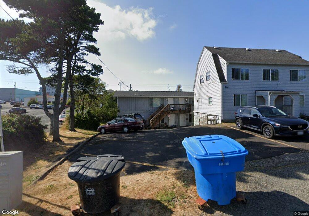
319 SW 10th St Newport, OR 97365
Estimated Value: $467,846 - $701,000
3
Beds
1
Bath
1,344
Sq Ft
$409/Sq Ft
Est. Value
About This Home
This home is located at 319 SW 10th St, Newport, OR 97365 and is currently estimated at $549,462, approximately $408 per square foot. 319 SW 10th St is a home with nearby schools including Yaquina View Elementary School, Sam Case Elementary School, and Newport High School.
Ownership History
Date
Name
Owned For
Owner Type
Purchase Details
Closed on
Jun 27, 2014
Sold by
Joling Michale R and Patrick Joling Patricia S
Bought by
Patrick James B and Patrick Lurlyn M
Current Estimated Value
Purchase Details
Closed on
Jan 29, 2005
Sold by
Tyler Mark E and Tyler Geri M
Bought by
Miranda Rafael F and Miranda Margaret Ann
Create a Home Valuation Report for This Property
The Home Valuation Report is an in-depth analysis detailing your home's value as well as a comparison with similar homes in the area
Home Values in the Area
Average Home Value in this Area
Purchase History
| Date | Buyer | Sale Price | Title Company |
|---|---|---|---|
| Patrick James B | -- | First American Title Ins Co | |
| Miranda Rafael F | $320,000 | Wte |
Source: Public Records
Tax History Compared to Growth
Tax History
| Year | Tax Paid | Tax Assessment Tax Assessment Total Assessment is a certain percentage of the fair market value that is determined by local assessors to be the total taxable value of land and additions on the property. | Land | Improvement |
|---|---|---|---|---|
| 2025 | $4,323 | $241,640 | -- | -- |
| 2024 | $4,233 | $234,610 | -- | -- |
| 2023 | $4,134 | $227,780 | $0 | $0 |
| 2022 | $4,006 | $221,150 | $0 | $0 |
| 2021 | $3,937 | $214,710 | $0 | $0 |
| 2020 | $3,844 | $208,460 | $0 | $0 |
| 2019 | $3,679 | $202,390 | $0 | $0 |
| 2018 | $3,566 | $196,500 | $0 | $0 |
| 2017 | $3,534 | $190,780 | $0 | $0 |
| 2016 | $3,459 | $185,230 | $0 | $0 |
| 2015 | $3,207 | $179,840 | $0 | $0 |
| 2014 | $3,135 | $174,610 | $0 | $0 |
| 2013 | -- | $169,530 | $0 | $0 |
Source: Public Records
Map
Nearby Homes
- 334 SW 9th St
- 449 SW 10th St
- 0 SW Bay Blvd
- 443 SW 7th St
- 5900 Tl Sw 12th St
- 5900-6100 T L Sw 12th St
- 837-855 SW Bay Blvd
- 112 SW Lee St
- 538 SW Coast Hwy
- 5700 SW 9th St
- 17 N Coast Hwy
- TL9400 SW Harbor Way
- 1217 SW Harbor Way
- 18 N Coast Hwy
- 24 N Coast Hwy
- 72 N Coast Hwy
- 40 N Coast Hwy
- 62 N Coast Hwy
- 90 N Coast Hwy
- 92 N Coast Hwy