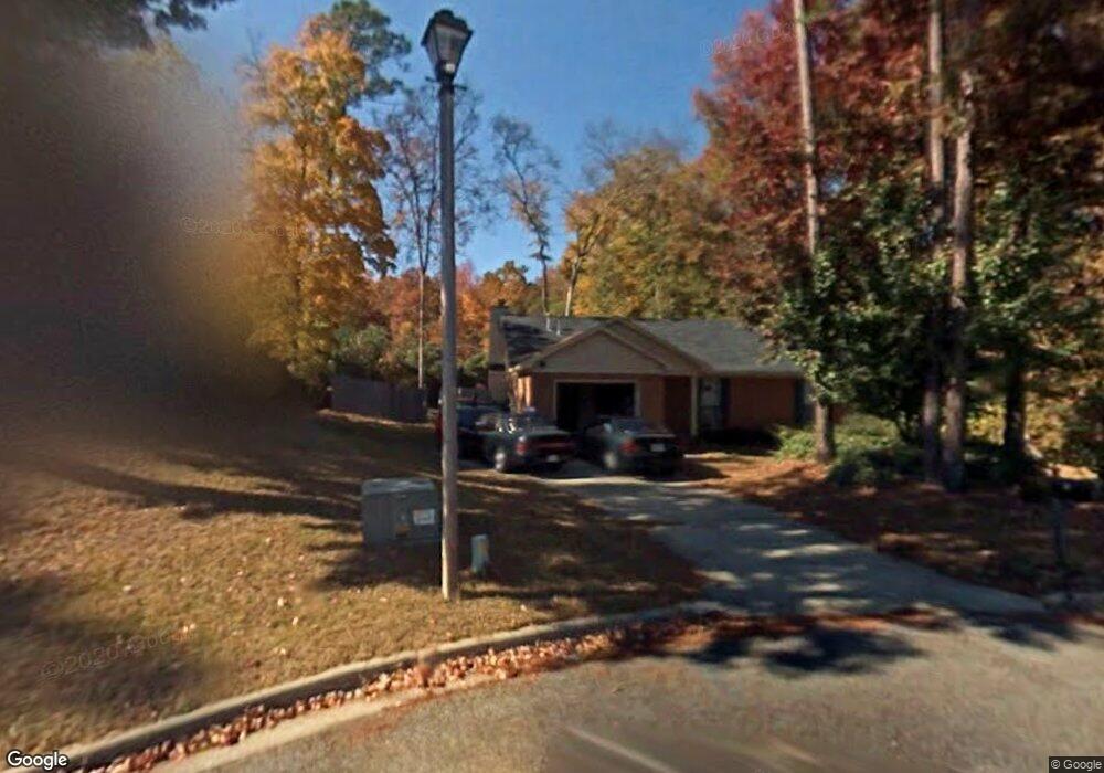
319 Timberidge Dr Augusta, GA 30907
Estimated Value: $240,312 - $259,000
3
Beds
2
Baths
1,500
Sq Ft
$164/Sq Ft
Est. Value
About This Home
This home is located at 319 Timberidge Dr, Augusta, GA 30907 and is currently estimated at $246,078, approximately $164 per square foot. 319 Timberidge Dr is a home located in Columbia County with nearby schools including Martinez Elementary School, Lakeside Middle School, and Lakeside High School.
Ownership History
Date
Name
Owned For
Owner Type
Purchase Details
Closed on
Jun 7, 2022
Sold by
Hawks Real Estate Llc
Bought by
Bntr Sfr Owner Llc
Current Estimated Value
Purchase Details
Closed on
Jun 24, 2005
Sold by
Webb Brian C
Bought by
Mansaray Felicia
Home Financials for this Owner
Home Financials are based on the most recent Mortgage that was taken out on this home.
Original Mortgage
$98,320
Interest Rate
5.57%
Mortgage Type
New Conventional
Create a Home Valuation Report for This Property
The Home Valuation Report is an in-depth analysis detailing your home's value as well as a comparison with similar homes in the area
Home Values in the Area
Average Home Value in this Area
Purchase History
| Date | Buyer | Sale Price | Title Company |
|---|---|---|---|
| Bntr Sfr Owner Llc | $210,000 | -- | |
| Hawks Real Estate Llc | $186,000 | -- | |
| Mansaray Felicia | $122,900 | -- |
Source: Public Records
Mortgage History
| Date | Status | Borrower | Loan Amount |
|---|---|---|---|
| Previous Owner | Mansaray Felicia | $98,320 |
Source: Public Records
Tax History
| Year | Tax Paid | Tax Assessment Tax Assessment Total Assessment is a certain percentage of the fair market value that is determined by local assessors to be the total taxable value of land and additions on the property. | Land | Improvement |
|---|---|---|---|---|
| 2025 | $2,281 | $93,192 | $19,004 | $74,188 |
| 2024 | $2,387 | $93,192 | $19,004 | $74,188 |
| 2023 | $2,387 | $80,937 | $16,104 | $64,833 |
| 2022 | $2,010 | $75,074 | $15,004 | $60,070 |
| 2021 | $1,839 | $65,477 | $14,104 | $51,373 |
| 2020 | $1,798 | $62,654 | $13,304 | $49,350 |
| 2019 | $1,742 | $60,611 | $12,104 | $48,507 |
| 2018 | $1,567 | $54,144 | $11,504 | $42,640 |
| 2017 | $1,536 | $52,816 | $11,204 | $41,612 |
| 2016 | $1,445 | $51,417 | $10,880 | $40,537 |
| 2015 | $1,327 | $46,940 | $10,280 | $36,660 |
| 2014 | $1,313 | $45,858 | $10,280 | $35,578 |
Source: Public Records
Map
Nearby Homes
- 4108 Mansfield Place
- 4106 Mansfield Place
- 322 Timberidge Dr
- 0 Mccormick Rd Unit 547611
- 4061 Briarwood Dr
- 3803 Murray Rd
- 3744 Cactus Trail
- 241 Old Evans Rd
- 407 Old Evans Rd
- 3489 Ivy Ct
- 277 W Wynngate Dr
- 340 Lamplighter Ln
- 3779 Winchester Trail
- 432 Old Evans Rd
- 344 Marshall St
- 452 Windtree Place
- 4039 Delray Ct
- 3909 Roberts Rd
- 272 E Wynngate Dr
- 3748 Tailboard Way
- 321 Timberidge Dr
- 317 Timberidge Dr
- 708 Spalding Ct
- 323 Timberidge Dr
- 710 Spalding Ct
- 4120 Mansfield Place
- 315 Timberidge Dr
- 4118 Mansfield Place
- 4114 Mansfield Place
- 313 Timberidge Dr
- 706 Spalding Ct
- 712 Spalding Ct
- 4112 Mansfield Place
- 309 Timberidge Dr
- 4122 Mansfield Place
- 704 Spalding Ct
- 311 Timberidge Dr
- 713 Spalding Ct
- 314 Timberidge Dr
- 714 Spalding Ct
Your Personal Tour Guide
Ask me questions while you tour the home.