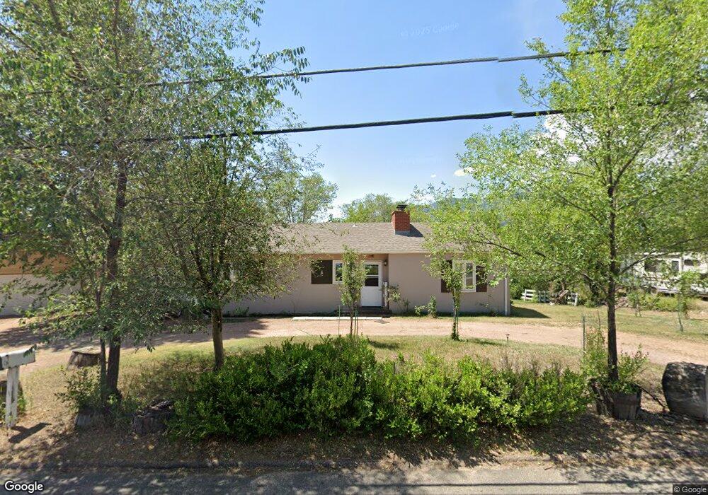
319 W Brookside St Colorado Springs, CO 80905
Ivywild NeighborhoodEstimated Value: $301,000 - $368,000
2
Beds
1
Bath
968
Sq Ft
$352/Sq Ft
Est. Value
About This Home
This home is located at 319 W Brookside St, Colorado Springs, CO 80905 and is currently estimated at $340,867, approximately $352 per square foot. 319 W Brookside St is a home located in El Paso County with nearby schools including Adams Elementary School, North Middle School, and William J. Palmer High School.
Ownership History
Date
Name
Owned For
Owner Type
Purchase Details
Closed on
Nov 15, 2022
Sold by
Fjeldstad David G
Bought by
319West Llc
Current Estimated Value
Purchase Details
Closed on
Feb 16, 1998
Sold by
Finch Mildred W
Bought by
Fjeldstad David
Home Financials for this Owner
Home Financials are based on the most recent Mortgage that was taken out on this home.
Original Mortgage
$86,690
Interest Rate
6.92%
Mortgage Type
FHA
Purchase Details
Closed on
Jun 1, 1986
Bought by
Fjeldstad David
Create a Home Valuation Report for This Property
The Home Valuation Report is an in-depth analysis detailing your home's value as well as a comparison with similar homes in the area
Home Values in the Area
Average Home Value in this Area
Purchase History
| Date | Buyer | Sale Price | Title Company |
|---|---|---|---|
| 319West Llc | -- | -- | |
| Fjeldstad David | $90,900 | Security Title | |
| Fjeldstad David | -- | -- |
Source: Public Records
Mortgage History
| Date | Status | Borrower | Loan Amount |
|---|---|---|---|
| Previous Owner | Fjeldstad David | $86,690 |
Source: Public Records
Tax History Compared to Growth
Tax History
| Year | Tax Paid | Tax Assessment Tax Assessment Total Assessment is a certain percentage of the fair market value that is determined by local assessors to be the total taxable value of land and additions on the property. | Land | Improvement |
|---|---|---|---|---|
| 2025 | $1,080 | $25,180 | -- | -- |
| 2024 | $969 | $23,820 | $4,620 | $19,200 |
| 2022 | $861 | $15,390 | $3,820 | $11,570 |
| 2021 | $935 | $15,840 | $3,930 | $11,910 |
| 2020 | $854 | $12,580 | $3,290 | $9,290 |
| 2019 | $849 | $12,580 | $3,290 | $9,290 |
| 2018 | $827 | $11,270 | $2,740 | $8,530 |
| 2017 | $783 | $11,270 | $2,740 | $8,530 |
| 2016 | $611 | $10,540 | $2,790 | $7,750 |
| 2015 | $609 | $10,540 | $2,790 | $7,750 |
| 2014 | $599 | $9,950 | $2,630 | $7,320 |
Source: Public Records
Map
Nearby Homes
- 219 W Ramona Ave
- 1611 Lorraine St
- 229-231 Crestone Ave
- 326 W Ramona Ave
- 308 Laclede Ave
- 313 Laclede Ave
- 403 Laclede Ave
- 1510 S Cascade Ave
- 312 Cheyenne Blvd
- 416 Cheyenne Blvd
- 1824 Lorraine St
- 31 Noyer Ct
- 25 Noyer Ct
- 19 Noyer Ct
- 13 Noyer Ct
- 7 Noyer Ct
- 6 Alsace Way
- 164 Creekside Ln
- 777 Saturn Dr Unit 200
- 777 Saturn Dr Unit 312
- 321 W Brookside St
- 315 W Brookside St
- 426 Yucca Dr
- 424 Yucca Dr
- 323 W Brookside St
- 314 W Brookside St
- 1431 Lorraine St
- 322 W Brookside St
- 330 Hilltop Cir
- 420 Yucca Dr
- 1506 Creston Ave Unit A
- 310 W Brookside St
- 1506 Crestone Ave Unit C
- 1506 Crestone Ave Unit B
- 1506 Crestone Ave Unit A
- 1506 Crestone Ave
- 1506 Crestone Ave
- 1504 Crestone Ave
- 1504 Crestone Ave Unit D
- 1504 Crestone Ave Unit C