Estimated Value: $135,000 - $209,304
3
Beds
2
Baths
1,024
Sq Ft
$180/Sq Ft
Est. Value
About This Home
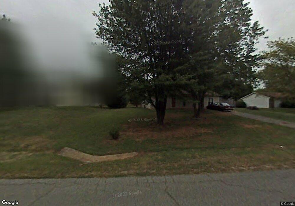
This home is located at 319 Weatherford Dr, King, NC 27021 and is currently estimated at $184,326, approximately $180 per square foot. 319 Weatherford Dr is a home located in Stokes County with nearby schools including Poplar Springs Elementary School, Chestnut Grove Middle, and West Stokes High.
Ownership History
Date
Name
Owned For
Owner Type
Purchase Details
Closed on
Mar 15, 2010
Sold by
Friend Jason A and Friend Katharyn L
Bought by
French Jennifer C
Current Estimated Value
Home Financials for this Owner
Home Financials are based on the most recent Mortgage that was taken out on this home.
Original Mortgage
$89,795
Outstanding Balance
$59,485
Interest Rate
4.97%
Mortgage Type
New Conventional
Estimated Equity
$124,841
Create a Home Valuation Report for This Property
The Home Valuation Report is an in-depth analysis detailing your home's value as well as a comparison with similar homes in the area
Home Values in the Area
Average Home Value in this Area
Purchase History
| Date | Buyer | Sale Price | Title Company |
|---|---|---|---|
| French Jennifer C | $88,000 | None Available |
Source: Public Records
Mortgage History
| Date | Status | Borrower | Loan Amount |
|---|---|---|---|
| Open | French Jennifer C | $89,795 |
Source: Public Records
Tax History
| Year | Tax Paid | Tax Assessment Tax Assessment Total Assessment is a certain percentage of the fair market value that is determined by local assessors to be the total taxable value of land and additions on the property. | Land | Improvement |
|---|---|---|---|---|
| 2025 | $999 | $139,700 | $35,000 | $104,700 |
| 2024 | $999 | $94,300 | $28,000 | $66,300 |
| 2023 | $764 | $94,300 | $28,000 | $66,300 |
| 2022 | $698 | $94,300 | $28,000 | $66,300 |
| 2021 | $698 | $94,300 | $28,000 | $66,300 |
| 2020 | $624 | $84,300 | $25,000 | $59,300 |
| 2019 | $624 | $84,300 | $25,000 | $59,300 |
| 2018 | $624 | $84,300 | $25,000 | $59,300 |
| 2017 | $620 | $84,300 | $25,000 | $59,300 |
| 2016 | $604 | $82,200 | $25,000 | $57,200 |
| 2015 | $600 | $82,200 | $25,000 | $57,200 |
| 2014 | $482 | $82,200 | $25,000 | $57,200 |
Source: Public Records
Map
Nearby Homes
- 101 Ravenwood Ct
- 100 Ridgecrest Dr
- 113 Ravenwood Ct
- 200 Redwood Bend
- 1110 Foxtrot Ct
- 103 Jasper Ct
- 1739 Denny Rd
- 310 Cedardale Ln
- 1255 Mountain View Rd
- 1034 Kentland Dr
- 1461 Chestnut Grove Rd
- 1129 Kentland Dr
- 1233 Kentland Dr
- Lot 9 Brown Rd
- Lot 10 Brown Rd
- Lot 19 Glen Brooke Ln
- 4.45acres Gib Ferguson Rd
- Lot 18 Glen Brooke Ln
- 106 Meta Ct
- 1880 Chestnut Grove Rd
- 315 Weatherford Dr
- 323 Weatherford Dr
- 314 Ridgecrest Dr
- 310 Ridgecrest Dr
- 306 Ridgecrest Dr
- 318 Ridgecrest Dr
- 320 Weatherford Dr
- 302 Ridgecrest Dr
- 324 Weatherford Dr
- 316 Weatherford Dr
- 312 Weatherford Dr
- 322 Ridgecrest Dr
- 328 Weatherford Dr
- 309 Ridgecrest Dr
- 331 Weatherford Dr
- 305 Ridgecrest Dr
- 304 Weatherford Dr
- 313 Ridgecrest Dr
- 332 Weatherford Dr
- 317 Ridgecrest Dr
Your Personal Tour Guide
Ask me questions while you tour the home.