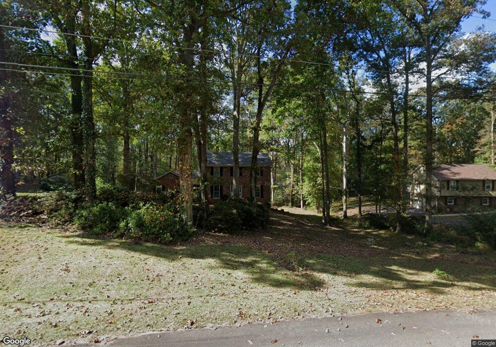
319 Woodfield Cir Lagrange, GA 30240
Estimated Value: $280,389 - $305,000
3
Beds
4
Baths
1,902
Sq Ft
$155/Sq Ft
Est. Value
About This Home
This home is located at 319 Woodfield Cir, Lagrange, GA 30240 and is currently estimated at $294,347, approximately $154 per square foot. 319 Woodfield Cir is a home located in Troup County with nearby schools including Long Cane Elementary School, Berta Weathersbee Elementary School, and Whitesville Road Elementary School.
Ownership History
Date
Name
Owned For
Owner Type
Purchase Details
Closed on
Dec 17, 1991
Sold by
Fund Ecla Loana Minnesota Co-
Bought by
Carter Kenneth L and Carter Rebecca M
Current Estimated Value
Purchase Details
Closed on
Jun 15, 1981
Sold by
Knight & Knight Of Laginc
Bought by
Fund Ecla Loana Minnesota Co-
Purchase Details
Closed on
Nov 24, 1975
Sold by
Knight W Hooper Etal
Bought by
Knight & Knight Of Laginc
Create a Home Valuation Report for This Property
The Home Valuation Report is an in-depth analysis detailing your home's value as well as a comparison with similar homes in the area
Home Values in the Area
Average Home Value in this Area
Purchase History
| Date | Buyer | Sale Price | Title Company |
|---|---|---|---|
| Carter Kenneth L | -- | -- | |
| Fund Ecla Loana Minnesota Co- | $90,000 | -- | |
| Knight & Knight Of Laginc | -- | -- |
Source: Public Records
Tax History Compared to Growth
Tax History
| Year | Tax Paid | Tax Assessment Tax Assessment Total Assessment is a certain percentage of the fair market value that is determined by local assessors to be the total taxable value of land and additions on the property. | Land | Improvement |
|---|---|---|---|---|
| 2024 | $2,154 | $80,960 | $14,000 | $66,960 |
| 2023 | $1,938 | $73,040 | $8,000 | $65,040 |
| 2022 | $1,878 | $69,280 | $8,000 | $61,280 |
| 2021 | $1,660 | $57,040 | $8,000 | $49,040 |
| 2020 | $1,660 | $57,040 | $8,000 | $49,040 |
| 2019 | $1,524 | $52,520 | $8,000 | $44,520 |
| 2018 | $1,453 | $50,160 | $8,000 | $42,160 |
| 2017 | $1,453 | $50,160 | $8,000 | $42,160 |
| 2016 | $1,431 | $49,430 | $7,200 | $42,230 |
| 2015 | $1,434 | $49,430 | $7,200 | $42,230 |
| 2014 | $1,369 | $47,208 | $7,200 | $40,008 |
| 2013 | -- | $50,080 | $7,200 | $42,880 |
Source: Public Records
Map
Nearby Homes
- 141 Plymouth Dr
- 102 Franklin Place
- 119 Plymouth Dr
- 105 Hawthorne Cir
- 103 Hawthorne Cir
- 110 Hawthorne Cir
- 100 Huntcliff Ct
- 101 Ivy Springs Dr
- 124 Foxdale Dr
- 474 Newton Rd
- 135 Planters Ridge Dr
- 40 River Point Dr
- 190 Hill Rd
- 808 S Fling Rd
- 509 Connie Dr
- 108 Hidden Springs Dr
- 0 Deming St Unit 10550189
- 1565 Glass Bridge Rd
- 37 Overbrook Dr
- 0 Bradfield Dr Unit 10568803
- 317 Woodfield Cir
- 321 Woodfield Cir
- 320 Woodfield Cir
- 315 Woodfield Cir
- 323 Woodfield Cir
- 1059 Pyne Rd
- 318 Woodfield Cir
- 324 Woodfield Cir
- 324 Woodfield Cir Unit 27
- 1049 Pyne Rd
- 325 Woodfield Cir
- 314 Woodfield Cir
- 313 Woodfield Cir
- 359 Maley Rd
- 327 Woodfield Cir
- 107 Oakdale Dr
- 109 Oakdale Dr
- 1105 Pyne Rd
- 105 Oakdale Dr
- 1029 Pyne Rd